Mammoth in Yellowstone National Park in Park County, Wyoming — The American West (Mountains)
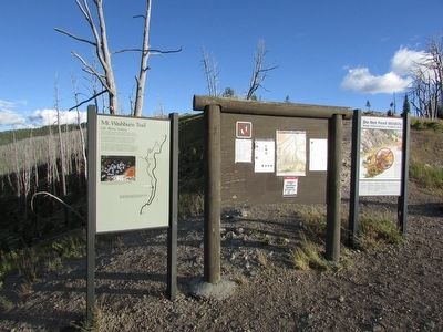
Mt. Washburn Trail
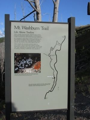
Life Above Treeline
Photographed by Bill Coughlin, July 28, 2015
1. Mt. Washburn Trail Marker
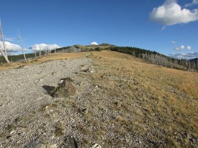
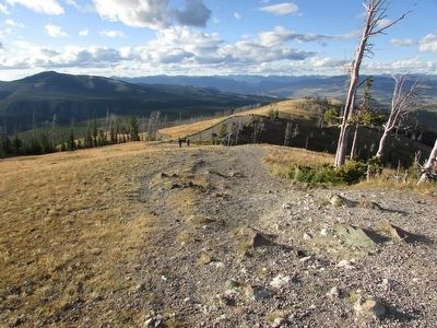
After a steady ascent through whitebark pine and fir forest the trail reaches alpine tundra – a wind-scoured world of stunted trees and briefly blooming wildflowers.
Mt. Washburn’s steep slopes and low groundcover are ideal habitat for bighorn sheep, marmots, and pikas. Stay alert for grizzly bears, especially in late summer and fall. Bear activity often closes trails in this area.
Above treeline the mountain seems to make its own weather. Storms materialize without warning, temperatures plunge, and it can snow any month of the year. Hike prepared for mountain weather: carry layers of clothing, including windbreaker, hat, and gloves.
Erected by National Park Service.
Topics. This historical marker is listed in these topic lists: Man-Made Features • Natural Features.
Location. 44° 49.429′ N, 110° 26.732′ W. Marker is in Yellowstone National Park, Wyoming, in Park County. It is in Mammoth. It is on Chittenden Road, on the left when traveling north. Touch for map. Marker is in this post office area: Yellowstone National Park WY 82190, United States of America.
this page online

Regionally, this marker is in the Bighorn Basin and in Greater Yellowstone. It is also in the American Mountain West and in the Lewis & Clark Corridor. Globally, it is in North America, the Rocky Mountains, the Western Hemisphere, the Western World, and the Anglosphere.
Other nearby markers. At least 8 other markers are within 8 miles of this marker, measured as the crow flies: Life in a Fire Tower (approx. 1.9 miles away); Towers in the Air (approx. 5.6 miles away); Petrified Tree (approx. 6.4 miles away); Mission 66 (approx. 6.6 miles away); A Golden Opportunity / Mission 66 in Yellowstone / The Mission Continues (approx. 6.6 miles away); Shifting Ground (approx. 6.9 miles away); Inspiration Point (approx. 6.9 miles away); Grand View (approx. 7.2 miles away). Touch for a list and map of all markers in Yellowstone National Park.
More about this marker. A photograph of wildflowers appears on the left side of the marker. It has a caption of “Alpine plants are uniquely adapted to harsh conditions but not to trail traffic. Off-trail hiking leaves ugly scars that can take decades to heal in the
Photographed by Bill Coughlin, July 28, 2015
2. Mt. Washburn Trail Marker
Photographed by Bill Coughlin, July 28, 2015
3. Mt. Washburn Trail
Photographed by Bill Coughlin, July 28, 2015
4. Mt. Washburn Trail
Credits. This page was last revised on February 16, 2023. It was originally submitted on October 5, 2015, by Bill Coughlin of Woodland Park, New Jersey. This page has been viewed 471 times since then and 24 times this year. Photos: 1, 2, 3, 4. submitted on October 5, 2015, by Bill Coughlin of Woodland Park, New Jersey.
