Riceboro in Liberty County, Georgia — The American South (South Atlantic)
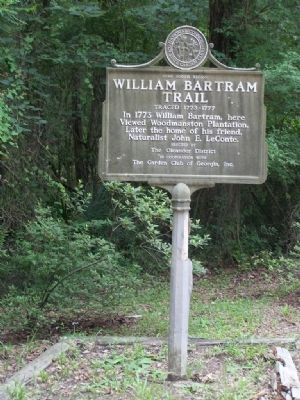
William Bartram Trail
Traced 1773-1777
— Deep South Region —
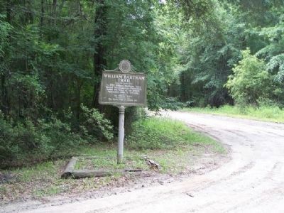
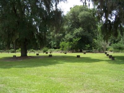
In 1773 William Bartram, here viewed Woodmanston Plantation, later the home of his friend, Naturalist John E. LeConte.
Erected by the Oleander District in cooperation with the Garden Club of Georgia, Inc.
Topics and series. This historical marker is listed in these topic lists: Colonial Era • Environment • Exploration • Horticulture & Forestry. In addition, it is included in the William Bartram Trails series list. A significant historical year for this entry is 1773.
Location. 31° 42.334′ N, 81° 29.278′ W. Marker is in Riceboro, Georgia, in Liberty County. Marker is on Barrington Ferry Road, one mile south of Sandy Run Road. Touch for map. Marker is in this post office area: Riceboro GA 31323, United States of America. Touch for directions.
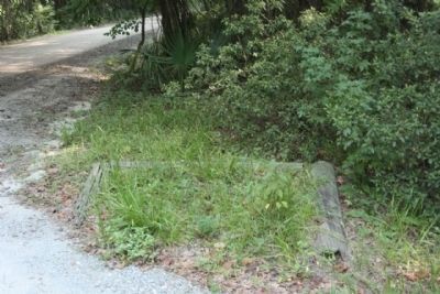
Other nearby markers. At least 8 other markers are within 5 miles of this marker, measured as the crow flies. Woodmanston Plantation (here, next to this marker); Simon Munro (approx. 1˝ miles away); First African Baptist Church (approx. 3.2 miles away); "Lest We Forget" (approx. 3.3 miles away); Riceborough (approx. 3.9 miles away); LeConte Botanical Gardens (approx. 4.4 miles away); Lambert Plantation (approx. 4.8 miles away); Old Post Road (approx. 4.9 miles away). Touch for a list and map of all markers in Riceboro.
More about this marker . Marker is part of the Bartram Trails series.
Credits. This page was last revised on November 16, 2019. It was originally submitted on July 8, 2008, by Mike Stroud of Bluffton, South Carolina. This page has been viewed 1,657 times since then and 28 times this year. Photos: 1, 2. submitted on July 8, 2008, by Mike Stroud of Bluffton, South Carolina. 3. submitted on July 9, 2008, by Mike Stroud of Bluffton, South Carolina. 4. submitted on August 22, 2011, by Mike Stroud of Bluffton, South Carolina. • Christopher Busta-Peck was the editor who published this page.


