Near Manassas in Prince William County, Virginia — The American South (Mid-Atlantic)
Visions of Victory
Second Battle of Manassas
— Day Two August 29, 1862 —
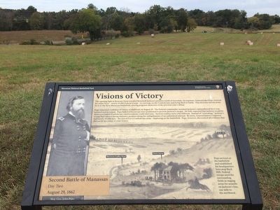
Pope remained confident of victory at daybreak on August 29. The Federal commander assumed Jackson's outnumbered force was isolated and in retreat. Pope believed his troops were positioned to prevent Jackson's escape. He fully expected that Jackson would be destroyed before Confederate reinforcements could intervene. Tactical realities were a bit different. Instead of "retreating," Jackson's troops had taken a strong defensive position along the embankments of an unfinished railroad. By noon, General James Longstreet had nearly 30,000 men - the rest of Lee's Confederate army - deploying on the battlefield. Pope, however, discounted all evidence that did not fit his vision of total victory.
(caption)
(left) Maj. Gen. John Pope
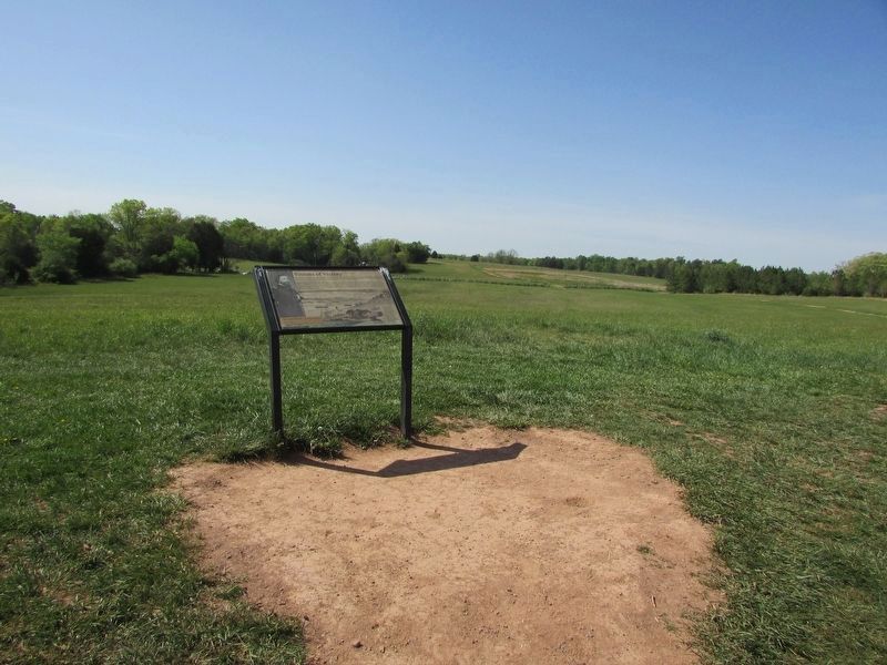
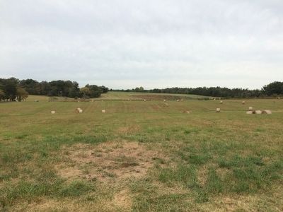
(right) Pope arrived on the battlefield and established his headquarters here atop Buck Hill. Federal troops used the surrounding fields as staging areas for assaults on Jackson's line, one mile to the northwest.
Erected by Manassas National Battlefield Park, National Park Service, U.S. Department of the Interior.
Topics. This historical marker is listed in these topic lists: Military • War, US Civil. A significant historical date for this entry is August 29, 1862.
Location. 38° 49.206′ N, 77° 31.597′ W. Marker is near Manassas, Virginia, in Prince William County. Marker can be reached from Sudley Road (Virginia Route 234) north of Lee Highway (U.S. 29), on the right when traveling north. Marker is located behind the Stone House, along the trail to Matthews Hill. Marker can be reached by parking at the Stone House parking lot, (Auto-tour stop 3) and hiking to the top of Buck Hill. Touch for map. Marker is in this post office area: Manassas VA 20109, United States of America. Touch for directions.
Other nearby markers. At least 8 other markers are within walking distance of this marker. Pope's Headquarters (here, next to this marker); Battlefield of Bull Run or First Manassas (about 400 feet away, measured in a direct line); Stone House: Witness to War (about 500 feet away); Stone House (about 500 feet away); First Battle of Manassas (about 600 feet away); a different marker also named First Battle of Manassas (about 600 feet away); Henry House (about 600 feet away); Blocking the Union Advance (approx. 0.2 miles away). Touch for a list and map of all markers in Manassas.
Also see . . .
1. Manassas National Battlefield Park. National Park Service (Submitted on October 27, 2015.)
2. Old Marker at this Location. This marker replaced an older one at this location titled “Pope's Headquarters”. (Submitted on October 27, 2015.)
Credits. This page was last revised on May 10, 2023. It was originally submitted on October 26, 2015, by Shane Oliver of Richmond, Virginia. This page has been viewed 453 times since then and 16 times this year. Photos: 1. submitted on October 26, 2015, by Shane Oliver of Richmond, Virginia. 2. submitted on April 29, 2023, by Bill Coughlin of Woodland Park, New Jersey. 3. submitted on October 26, 2015, by Shane Oliver of Richmond, Virginia. • Bernard Fisher was the editor who published this page.


