Araby View near Frederick in Frederick County, Maryland — The American Northeast (Mid-Atlantic)
Through a Child's Eyes
Monocacy National Battlefield
| — | National Park Service, U.S. Department of the Interior | — |
Photographed by Allen C. Browne, November 2, 2014
1. Through a Child's Eyes Marker
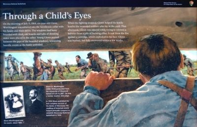
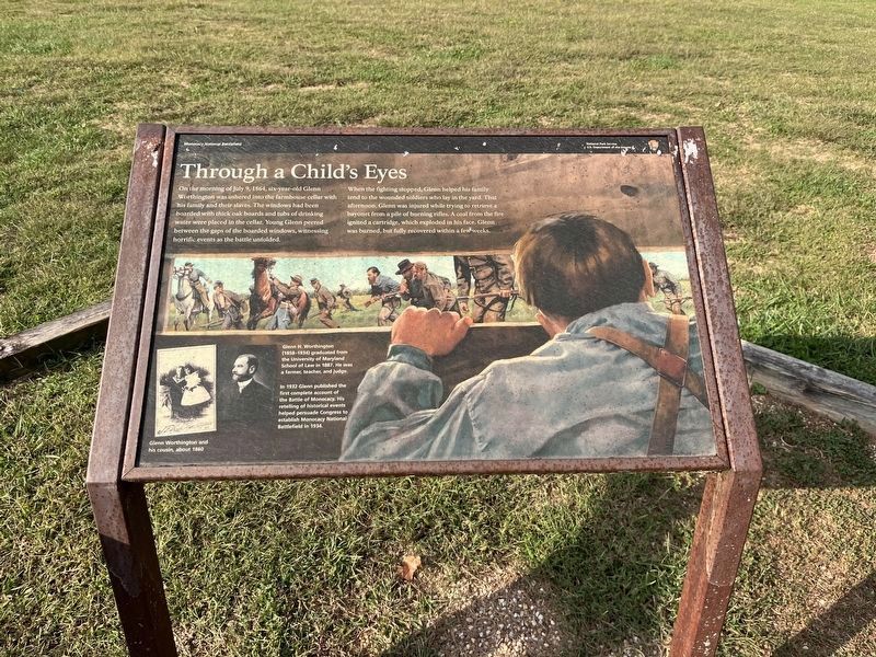
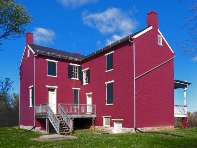
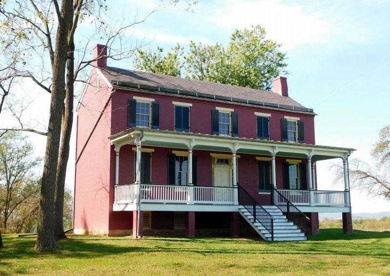
On the morning of July 9, six-year-old Glenn Worthington was ushered into the farmhouse cellar with his family and their slaves. The windows had been boarded with thick oak boards and tubs of drinking water were placed in the cellar. Young Glenn peered between the gaps of the boarded windows, witnessing horrific events as the battle unfolded.
When the fighting stopped, Glenn helped his family tend to the wounded soldiers who lay in the yard. That afternoon, Glenn was injured while trying to retrieve a bayonet from a pile of burning rifles. A coal from the fire ignited a cartridge, which exploded in his face. Glenn was burned, but fully recovered in a few weeks.
Erected by National Park Service, U.S. Department of the Interior.
Topics. This historical marker is listed in this topic list: War, US Civil. A significant historical date for this entry is July 9, 1864.
Location. 39° 21.7′ N, 77° 24.101′ W. Marker is near Frederick, Maryland, in Frederick County. It is in Araby View. It can be reached from Baker Valley Road south of Araby Church Road, on the right when traveling south. Marker is down a long driveway off or Baker
this page online

Regionally, this marker is in the Washington Metropolitan Area and in Central Maryland. It is also in the American Mid-Atlantic. Globally, it is in North America, the Western Hemisphere, the Western World, and the Anglosphere. Historically, it finds itself in what was once one of the original Thirteen Colonies and also the Antebellum South.
Other nearby markers. At least 7 other markers are within walking distance of this marker: Ambush (here, next to this marker); A Bold Plan (about 300 feet away, measured in a direct line); Caught in the Crossfire (approx. 0.6 miles away); L'Hermitage (approx. 0.6 miles away); 1862 Antietam Campaign (approx. 0.6 miles away); The Lost Order (approx. 0.6 miles away); Final Attack (approx. 0.7 miles away). Touch for a list and map of all markers in Frederick.
Other markers no longer nearby. McCausland’s Attack (was within shouting distance of this marker but has been permanently removed); Worthington House (was within
Photographed by Adam Margolis, September 20, 2025
2. Through a Child's Eyes Marker
The marker has weathered somewhat but remains legible.
More about this marker. This marker replaced an older marker at this location titled, "Worthington House" (see nearby markers)

Photographed by Adam Margolis, September 20, 2025
3. Through a Child's Eyes Marker
Photographed by Allen C. Browne, November 2, 2014
4. Through a Child's Eyes Marker
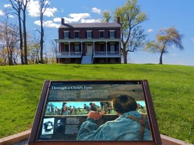
This is a photo of the marker before the other adjacent markers were installed.
Photographed by Allen C. Browne, November 2, 2014
5. Through a Child's Eyes Marker
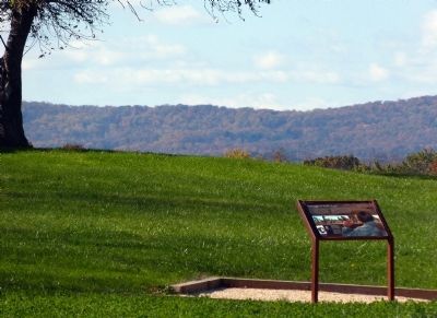
This is a photo of the marker before the other adjacent markers were installed.
Photographed by Allen C. Browne, November 2, 2014
6. Worthington House
Photographed by Bradley Owen, October 20, 2017
7. The Worthington House
Credits. This page was last revised on April 1, 2026. It was originally submitted on November 3, 2014, by Allen C. Browne of Silver Spring, Maryland. This page has been viewed 1,038 times since then and 38 times this year. Last updated on October 26, 2015, by Shane Oliver of Richmond, Virginia. Photos: 1. submitted on November 3, 2014, by Allen C. Browne of Silver Spring, Maryland. 2, 3. submitted on March 28, 2026, by Adam Margolis of Mission Viejo, California. 4, 5, 6. submitted on November 3, 2014, by Allen C. Browne of Silver Spring, Maryland. 7. submitted on April 10, 2021, by Bradley Owen of Morgantown, West Virginia. • Bill Pfingsten was the editor who published this page.
