Screven Fork in Liberty County, Georgia — The American South (South Atlantic)
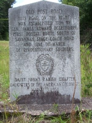
Old Post Road
was established in 1736 by
Gen. James Oglethorpe.
First postal route south of
Savannah Stage Coach Road
and line of march
of Revolutionary Soldiers.
Saint John's Parish Chapter
Daughters of the American Colonists
March 3, 1950
Erected 1950 by Saint John's Parish Chapter Daughters of the American Colonists.
Topics and series. This historical marker is listed in these topic lists: Colonial Era • Notable Places • Roads & Vehicles • Settlements & Settlers. In addition, it is included in the Daughters of the American Colonists, and the Postal Mail and Philately series lists. A significant historical year for this entry is 1736.
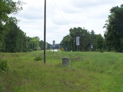
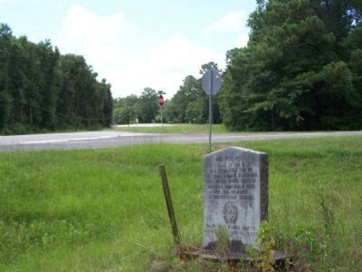
Location. 31° 46.126′ N, 81° 26.944′ W. Marker is in Screven Fork, Georgia, in Liberty County. Marker is on South Coastal Hwy (U.S. 17) near Barrington Ferry Road, on the right when traveling south. Touch for map. Marker is in this post office area: Riceboro GA 31323, United States of America. Touch for directions.
Other nearby markers. At least 8 other markers are within 3 miles of this marker, measured as the crow flies. Lambert Plantation (about 800 feet away, measured in a direct line); General James Screven (approx. 1˝ miles away); "Lest We Forget" (approx. 1.7 miles away); First African Baptist Church (approx. 1.7 miles away); Riceborough (approx. 1.7 miles away); Sunbury and Fort Morris (approx. 2.3 miles away); New Life For Dorchester Academy 1932-1940 (approx. 2.4 miles away); Liberty County Citizen's Council 1946 - 1953 (approx. 2.4 miles away).
Credits. This page was last revised on June 16, 2016. It was originally submitted on July 9, 2008, by Mike Stroud of Bluffton, South Carolina. This page has been viewed 1,338 times since then and 30 times this year. Photos: 1, 2, 3. submitted on July 9, 2008, by Mike Stroud of Bluffton, South Carolina. • Christopher Busta-Peck was the editor who published this page.


