
Near Manassas in Prince William County, Virginia — The American South (Mid-Atlantic)
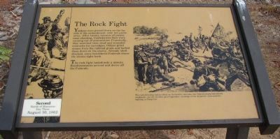
The Rock Fight
Second Battle of Manassas
| — | Day Three, August 30, 1862 | — |
Photographed by Craig Swain, November 15, 2010
1. The Rock Fight Marker
As restored.
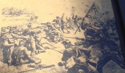
The rock fight lasted only a minute. Reinforcements arrived and drove off the Federals.
The rock-throwing had no effect on the battle’s outcome; the Federal attack had already weakened—yet the incident grew legendary, an image of the desperate, close-quarters fighting at Deep Cut.
Topics and series. This historical marker is listed in this topic list: War, US Civil. In addition, it is included in the Manassas Gap Railroad series list.
Location. This marker has been replaced by another marker nearby. 38° 49.279′ N, 77° 33.221′ W. Marker is near Manassas, Virginia, in Prince William County. It can be reached from Featherbed Lane (continuation of Groveton Road)
this page online

Regionally, this marker is in the Washington Metropolitan Area, in Northern Virginia, and in the Piedmont. It is also in the American South, specifically in the Upper South, in the Mid-Atlantic, and on the Eastern Seaboard. Globally, it is in the North Atlantic Region, North America, the Western Hemisphere, the Western World, and the Anglosphere. Historically, it finds itself in what was once the territory of the Mississippian Culture, one of the original Thirteen Colonies, one of the Confederate States of America, and the Antebellum South.
Other nearby markers. At least 10 other markers are within walking distance of this location: A different marker also named The Rock Fight (a few steps from this marker); 24th New York Infantry (within shouting distance of this
Photographed by J. J. Prats, March 11, 2007
2. Detail from Marker
Another marker is no longer nearby. Second Bull Run Monument (was within shouting distance of this marker but has been replaced with another marker now near it).
More about this marker. This marker was replaced by a new one also named The Rock Fight (see nearby markers).
Additional keywords. The unfinished railroad. The Independent Line of the Manassas Gap Railroad.
Photographed by Craig Swain, February 8, 2009
3. Damaged Marker
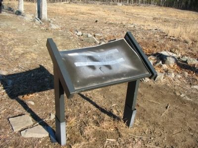
With all the clearing in the vicinity of the marker, some damage was done to the marker.
Photographed by J. J. Prats, March 11, 2007
4. Marker on Deep Cut Trail
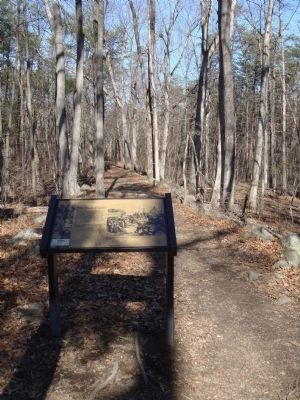
This portion of the trail is is on the unfinished railroad bed, which was graded higher than the surrounding land at this point as it approached Dogan Branch (a stream). The Confederates were on one side of the railroad bed, the Federals on the other. There were no trees here in 1862; they have grown since, altering the battlefield.
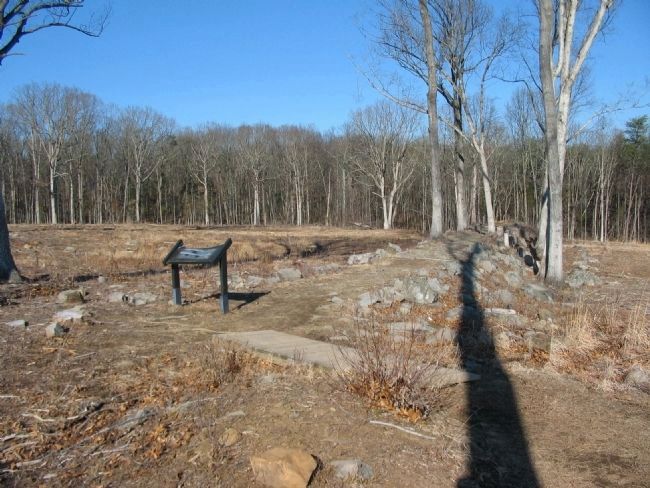
Photographed by Craig Swain, February 8, 2009
5. The Railroad Bed
A pile of rocks marks the location of an embankment used by the railroad bed. At the time of the battle the unfinished railroad afforded the Confederates an advantageous defensive position.
Credits. This page was last revised on June 16, 2016. It was originally submitted on March 24, 2007, by J. J. Prats of Powell, Ohio. This page has been viewed 4,906 times since then and 110 times this year. Photos: 1. submitted on January 2, 2011, by Craig Swain of Leesburg, Virginia. 2. submitted on March 24, 2007, by J. J. Prats of Powell, Ohio. 3. submitted on April 26, 2009, by Craig Swain of Leesburg, Virginia. 4. submitted on March 24, 2007, by J. J. Prats of Powell, Ohio. 5. submitted on April 26, 2009, by Craig Swain of Leesburg, Virginia.
