Near Manassas in Prince William County, Virginia — The American South (Mid-Atlantic)
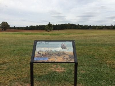
Artillery Duel
First Battle of Manassas
— July 21, 1861 2 p.m. —
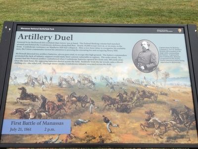
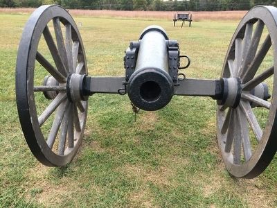
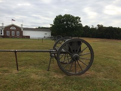
McDowell directed two artillery batteries, eleven guns total, to occupy this high ground. The battery commanders protested the lack of infantry support would make their cannon vulnerable to capture. The order stood. No sooner had the Federal artillery unlimbered when Confederate batteries opened fire from only 300 yards away. Over the next hour, the opposing batteries dueled across the field. Suddenly from the far woods came a blood-chilling cry—the rebel yell. Through the dense smoke, Confederate infantry swarmed across the field.
(captions)
Captain James B. Ricketts, Company I, 1st U.S. Artillery. Ricketts fell wounded in the thigh while commanding his battery. Captured by the Confederates, Ricketts recuperated at the nearby Portici plantation before being imprisoned in Richmond.
Painting by Sidney King
Erected by Manassas National Battlefield Park, National Park Service, U.S. Department of the Interior.
Topics. This historical marker is listed in these topic lists: Military • War, US Civil. A significant historical date for this entry is July 21, 1861.
Location. 38° 48.827′ N, 77° 31.329′ W. Marker is near Manassas, Virginia, in Prince William County. Marker can be reached from Sudley Road (Virginia Route 234) half a mile south of Lee Highway (U.S. 29), on the left when traveling south. Marker is located behind the Visitor Center, along the 1-mile Henry Hill Trail. Touch for map. Marker is at or near this postal address: 6511 Sudley Road, Manassas VA 20109, United States of America. Touch for directions.
Other nearby markers. At least 8 other markers are within walking distance of this marker. Position 7th G.A. Regt. (a few steps from this marker); 7th Georgia Markers (within shouting distance of this marker); Henry Hill (within shouting distance of this marker); Lieutenant Ramsey (about 300 feet away, measured in a direct line); The War Over Memory (about 400 feet away); 1st Battle of Bull Run Memorial (about 400 feet away); Honoring the Dead (about 400 feet away); Wade Hampton (about 400 feet away). Touch for a list and map of all markers in Manassas.
Also see . . .
1. Manassas National Battlefield Park. National Park Service (Submitted on November 23, 2015.)
2. Old Marker at this Location.
This marker replaced an older one at this location titled “The Fight for Rickett’s Guns” (Submitted on November 23, 2015.)
Credits. This page was last revised on February 5, 2024. It was originally submitted on November 21, 2015, by Shane Oliver of Richmond, Virginia. This page has been viewed 610 times since then and 35 times this year. Last updated on February 3, 2024, by Devon Polzar of Port Washington, Wisconsin. Photos: 1, 2, 3, 4. submitted on November 21, 2015, by Shane Oliver of Richmond, Virginia. • Bernard Fisher was the editor who published this page.


