Maumee in Lucas County, Ohio — The American Midwest (Great Lakes)
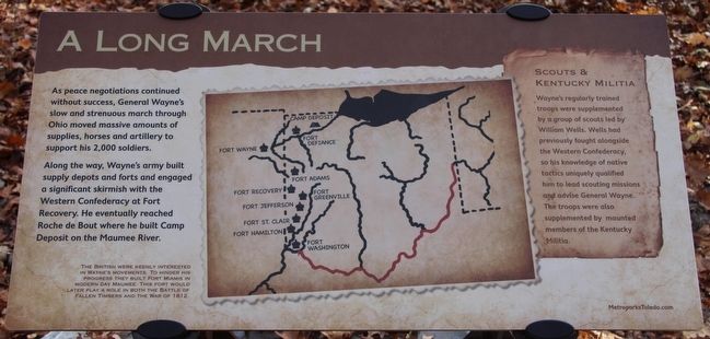
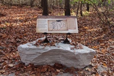
A Long March
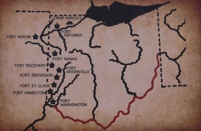
Along the way, Wayne's army built supply depots and forts and engaged a significant skirmish with the Western Confederacy at Fort Recovery. He eventually reached Roche de Bout where he built Camp Deposit on the Maumee River.
Scouts & Kentucky Militia
Wayne's regularly trained troops were supplemented by a group of scouts led by William Wells. Wells had previously fought alongside the Western Confederacy, so his knowledge of native tactics uniquely qualified him to lead scouting missions and advise General Wayne. The troops were also supplemented by mounted members of the Kentucky Militia.
The British were keenly interested in Wayne's movements. To hinder his progress they built Fort Miamis in modern day Maumee. This fort would later play a role in both the Battle of Fallen Timbers and the War of 1812.
Erected by Metroparks of the Toledo Area.
Topics. This historical marker is listed in these topic lists: Forts and Castles • Native Americans • Wars, US Indian. A significant historical year for this entry is 1812.
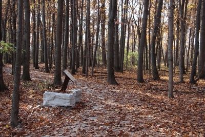
Location. 41° 32.959′ N, 83° 41.7′ W. Marker is in Maumee, Ohio, in Lucas County. Marker can be reached from North Jerome Road south of Monclova Road, on the left when traveling south. This marker is located on the grounds of the Fallen Timbers Battlefield, Metropark, in a densely wooded forest area, and is the fifth in a series of markers seen along the Fallen Timbers Battlefield, walking trail. Touch for map. Marker is in this post office area: Maumee OH 43537, United States of America. Touch for directions.
Other nearby markers. At least 8 other markers are within walking distance of this marker. Fighting Forces (within shouting distance of this marker); Cover and Camouflage (within shouting distance of this marker); Caught Off Guard (about 300 feet away, measured in a direct line); Early American Defeats (about 400 feet away); Unfair Negotiations (about 600 feet away); Why Fight Here? (about 700 feet away); Partners in Preservation (approx. 0.2 miles away); Battle of Fallen Timbers (approx. 0.2 miles away). Touch for a list and map of all markers in Maumee.
Credits. This page was last revised on June 16, 2016. It was originally submitted on November 24, 2015, by Dale K. Benington of Toledo, Ohio. This page has been viewed 501 times since then and 25 times this year. Photos: 1, 2, 3, 4, 5, 6. submitted on November 24, 2015, by Dale K. Benington of Toledo, Ohio.
