Port Royal, Kingston Parish, Jamaica — Surrey County (Caribbean Region of the Americas)
Welcome to Port Royal
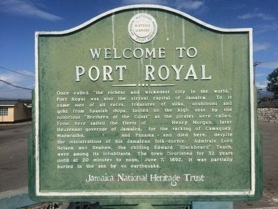
Photographed by J. Makali Bruton, November 22, 2015
1. Port Royal Marker
Erected by Jamaica National Heritage Trust.
Topics. This historical marker is listed in these topic lists: Colonial Era • Disasters • Man-Made Features. A significant historical date for this entry is June 7, 1692.
Location. 17° 56.288′ N, 76° 50.452′ W. Marker is in Port Royal, Kingston Parish. It is on Norman Manley Highway. The marker is at the entrance to Port Royal, on the main road out to the Fort
this page online

Regionally, it is one of the Greater Antilles on the Caribbean Sea, on in the Atlantic Ocean, in North America, in the Western Hemisphere, and in the Anglosphere. Historically, it finds itself in what was once a Spanish colony and specifically also a British colony.
Other nearby markers. At least 8 other markers are within walking distance of this marker: 'Ye Olde Parade Bar' (a few steps from this marker); Lucas Barrett (about 90 meters away, measured in a direct line); St. Peter's Church (about 120 meters away); The Great War 1914-1918 (about 150 meters away); The Historic Royal Naval Hospital (about 210 meters away); H.M.S. "Aboukir" (approx. 0.3 kilometers away); Fort Charles (approx. 0.4 kilometers away); The 1907 and 1957 Jamaica Earthquakes (approx. 0.4 kilometers away). Touch for a list and map of all markers in Port Royal.
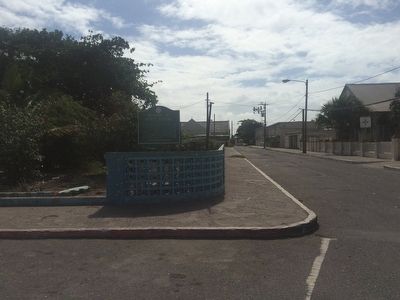
Photographed by J. Makali Bruton, November 22, 2015
2. Port Royal Marker
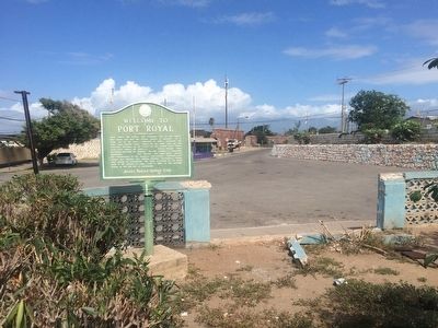
Photographed by J. Makali Bruton, November 22, 2015
3. Port Royal Marker
The marker reverse has the same text.
Credits. This page was last revised on February 12, 2022. It was originally submitted on December 2, 2015, by J. Makali Bruton of Washington, District of Columbia. This page has been viewed 690 times since then and 29 times this year. Photos: 1, 2, 3. submitted on December 2, 2015, by J. Makali Bruton of Washington, District of Columbia.
