Clarksville in Montgomery County, Tennessee — The American South (East South Central)
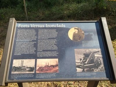
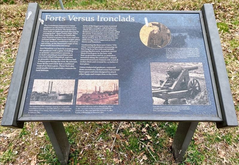
Forts Versus Ironclads
Photographed by Mark Hilton, August 31, 2015
1. Forts Versus Ironclads Marker
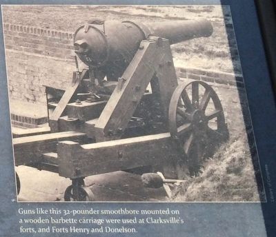
Some of the bigger guns were mounted on wooden carriages, called barbettes, which allowed for recoil and reloading. Barbettes swiveled on a central pole called the pintle. Columbiads were mounted on iron carriages strong enough to take the shock of their fire, but sometimes broke
this page online
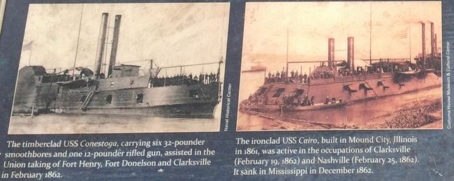
Confronting the forts were Union "City Class" ironclad gunboats measuring 175 feet long by 51 feet wide and initially costing $89,600 each. Ironclads carried three 8-inch guns in the bow, with four 43-pounders and six-32 pounders mounted along the casemates - sloped, armored structures framed with wood 18 inches thick and covered by 2.5 inches of iron plate.
Union timberclad gunboats, converted from steamboats, lacked armor but carried heavy guns and were designed to attack other boats and troops close to the rivers.
Erected 2008 by the City of Clarksville.
Topics. This historical marker is listed in these topic lists: War, US Civil • Waterways & Vessels.
Location. 36° 32.467′ N, 87° 22.434′ W. Marker is in Clarksville, Tennessee, in Montgomery County. It can be reached from A Street 0.1 miles south of Walker Street. Touch for map. Marker is at or near this postal address: 120 Duncan Street, Clarksville TN 37042, United States of America. Touch for directions.

Regionally, this marker is in Middle Tennessee and in the
Photographed by Shane Oliver, March 10, 2021
2. Forts Versus Ironclads Marker
Other nearby markers. At least 8 other markers are within walking distance of this marker: Building Fort Sevier (Defiance) (within shouting distance of this marker); Life as a Garrisoned Union Soldier (within shouting distance of this marker); Freedmen's Camp and the USCT (within shouting distance of this marker); Bringing the War to Clarksville (about 300 feet away, measured in a direct line); Fort Defiance Interpretive Center (about 400 feet away); Fort Defiance (about 400 feet away); a different marker also named Fort Defiance (about 400 feet away); Tobacco Trade and the Rivers (about 400 feet away). Touch for a list and map of all markers in Clarksville.
Also see . . . Wikipedia article on the USS Cairo. (Submitted on January 3, 2016, by Mark Hilton of Montgomery, Alabama.)
Photographed by Mark Hilton, August 31, 2015
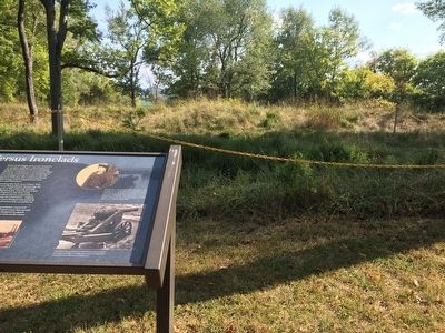
3. Marker and earthen works.
Photographed by Mark Hilton, August 31, 2015
4. Photos of ironclads from marker.
Photographed by Mark Hilton, August 31, 2015
5. Example 32-pounder smoothbore.
Photographed by Shane Oliver, March 10, 2021
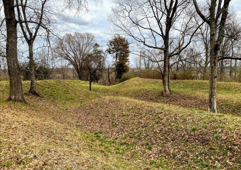
6. Earthworks Inside Fort Defiance
Credits. This page was last revised on May 11, 2021. It was originally submitted on January 3, 2016, by Mark Hilton of Montgomery, Alabama. This page has been viewed 636 times since then and 66 times this year. Photos: 1. submitted on January 3, 2016, by Mark Hilton of Montgomery, Alabama. 2. submitted on May 10, 2021, by Shane Oliver of Richmond, Virginia. 3, 4, 5. submitted on January 3, 2016, by Mark Hilton of Montgomery, Alabama. 6. submitted on May 10, 2021, by Shane Oliver of Richmond, Virginia.
