
Near Gimli in St. Andrews Municipality, Manitoba — Canada’s Prairie Region (North America)
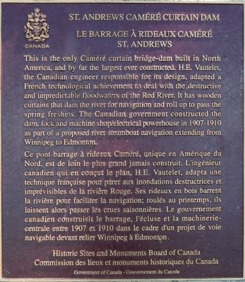
St. Andrews Caméré Curtain Dam
Photographed by Dawn Bowen, June 20, 2008
1. St. Andrews Caméré Curtain Dam Marker

this page online
Erected 1995 by Historic Sites and Monuments Board of Canada.
Topics and series. This historical marker is listed in these topic lists: Man-Made Features • Waterways & Vessels. In addition, it is included in the Canada, Historic Sites and Monuments Board series list. A significant historical year for this entry is 1907.
Location. 50° 4.946′ N, 96° 56.508′ W. Marker is near Gimli, Manitoba, in St. Andrews Municipality. It is on River Road (Provincial Highway 238), on the right when traveling north. Touch for map. Marker is at or near this postal address: 609 River Road, Gimli MB R1A 3C6, Canada. Touch for directions.

Regionally, this marker is in Manitoba’s Interlake Region. It is also in the Prairies. Globally, it is in North America, the Western Hemisphere, the Western World, and the Anglosphere. Historically, it finds itself in what was once a British colony, the Viceroyalty of New France, and Rupert’s Land.
Other nearby markers. At least 8 other markers are within 26 kilometers of this marker, measured as the
Photographed by Dawn Bowen, June 20, 2008
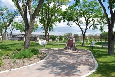
2. Marker with view of dam
Photographed by Dawn Bowen, June 20, 2008
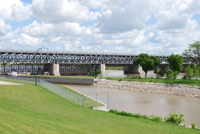
3. St. Andrews Caméré Curtain Dam
Two left portions of curtain are lowered into the river.
Credits. This page was last revised on January 23, 2022. It was originally submitted on June 20, 2008, by Dawn Bowen of Fredericksburg, Virginia. This page has been viewed 2,914 times since then and 29 times this year. Last updated on July 16, 2008, by Dawn Bowen of Fredericksburg, Virginia. Photos: 1, 2, 3. submitted on June 20, 2008, by Dawn Bowen of Fredericksburg, Virginia. • Kevin W. was the editor who published this page.
