Gaines in Orleans County, New York — The American Northeast (Mid-Atlantic)
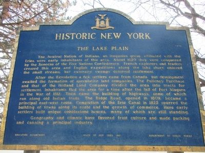
The Lake Plain
Historic New York
After the Revolution a few settlers came from Canada but development awaited the formation of speculative land companies. The Pulteney Purchase and that of the Holland Land Company divided the area into tracts for settlement. Inhabitants fled the area for a time after the fall of Fort Niagara in the War of 1812. Then came the building of highways, some of which ran along old Indian trails. The Ridge Road, opened in 1809, became a principal east-west route. Completion of the Erie Canal in 1825 spurred the building of towns along its route and the growth of commerce. Here early settlers built unique cobblestone houses, many of which are still standing.
Geography and climate have favored fruit culture and made packing and canning a principal industry.
Erected 1961 by New York State Departments of Education and Public Works.
Topics and series. This historical marker is listed in these topic lists: Agriculture • Native Americans • Roads & Vehicles • War of 1812. In addition, it is included in the Historic New York State series list. A significant historical year for this entry is 1650.
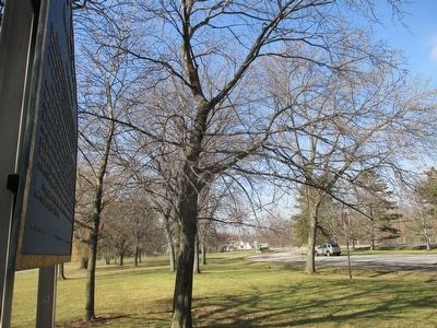
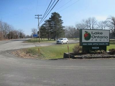
Location. 43° 17.143′ N, 78° 12.007′ W. Marker is in Gaines, New York, in Orleans County. Marker can be reached from Ridge Road (New York State Route 104) half a mile west of Oak Orchard Road (New York State Route 98), on the right when traveling east. Marker is in a public parking area. Touch for map. Marker is at or near this postal address: 14234 Ridge Road West, Albion NY 14411, United States of America. Touch for directions.
Other nearby markers. At least 8 other markers are within walking distance of this marker. Home of John Proctor (approx. 0.3 miles away); Harness Shop (approx. 0.4 miles away); Farmers Hall (approx. 0.4 miles away); Print Shop (approx. 0.4 miles away); Blacksmith Shop (approx. 0.4 miles away); J.H. Vagg Blacksmith Shop / The Vagg House (approx. 0.4 miles away); Cobblestones (approx. half a mile away); In Recognition (approx. half a mile away). Touch for a list and map of all markers in Gaines.
Credits. This page was last revised on June 16, 2016. It was originally submitted on February 7, 2016, by Anton Schwarzmueller of Wilson, New York. This page has been viewed 502 times since then and 34 times this year. Photos: 1, 2, 3. submitted on February 7, 2016, by Anton Schwarzmueller of Wilson, New York.


