Fort Edward in Washington County, New York — The American Northeast (Mid-Atlantic)
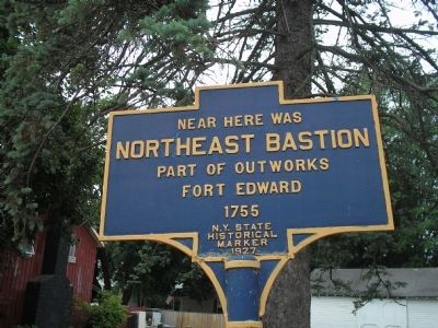
Northeast Bastion
Northeast Bastion
part of outworks
Fort Edward
1755
Erected 1927 by New York State.
Topics. This historical marker is listed in these topic lists: Colonial Era • Forts and Castles • Military • War, French and Indian • War, US Revolutionary. A significant historical year for this entry is 1755.
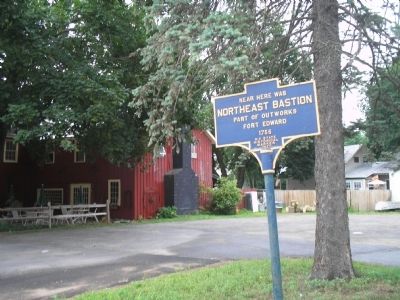
Location. 43° 15.886′ N, 73° 34.988′ W. Marker is in Fort Edward, New York, in Washington County. Marker is on Lakes to Locks Passage (U.S. 4), on the right when traveling south. Marker is on Route 4 between Moon Street and Edward Street. Touch for map. Marker is in this post office area: Fort Edward NY 12828, United States of America. Touch for directions.
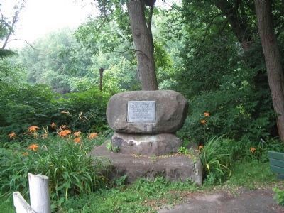
Other nearby markers. At least 8 other markers are within walking distance of this marker. Fort Edward (here, next to this marker); Old Moat (about 300 feet away, measured in a direct line); Old Fort Edward (about 400 feet away); The Island (about 500 feet away); Rogers Island -- Fort Edward, NY (approx. 0.2 miles away); Rogers Island (approx. 0.2 miles away); Progenitors of Independence (approx. 0.2 miles away); Major Robert Rogers (approx. 0.2 miles away). Touch for a list and map of all markers in Fort Edward.

Photographed By Bill Coughlin, July 13, 2008
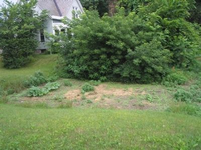
4. Site of Old Fort Edward
The actual site of Old Fort Edward is located not far from the marker. The murder near here of Loyalist Jane McCrea by an Indian allied with British Gen. John Burgoyne created a backlash that resulted in Burgoyne's defeat in Saratoga in 1777.
Credits. This page was last revised on June 16, 2016. It was originally submitted on July 17, 2008, by Bill Coughlin of Woodland Park, New Jersey. This page has been viewed 1,402 times since then and 17 times this year. Photos: 1, 2, 3, 4. submitted on July 17, 2008, by Bill Coughlin of Woodland Park, New Jersey.


