South Baton Rouge in East Baton Rouge Parish, Louisiana — The American South (West South Central)
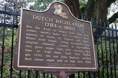
Dutch Highlands
1784-c.1880
Erected by City and Parish of East Baton Rouge & Foundation for Historical Louisiana.
Topics. This historical marker is listed in these topic lists: Agriculture • Colonial Era • Settlements & Settlers.
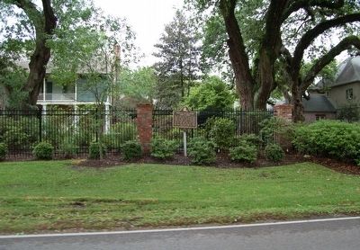
Location. 30° 21.92′ N, 91° 7.05′ W. Marker is in Baton Rouge, Louisiana, in East Baton Rouge Parish. It is in South Baton Rouge. Marker is on Highland Road (State Highway 42) west of Renee Drive, on the left when traveling west. Touch for map. Marker is in this post office area: Baton Rouge LA 70810, United States of America. Touch for directions.
Other nearby markers. At least 8 other markers are within 3 miles of this marker, measured as the crow flies. Swamp Age (approx. 0.7 miles away); BREC's Bluebonnet Swamp Nature Center (approx. 0.8 miles away); Bluebonnet Swamp (approx. 0.8 miles away); Upland Hardwoods (approx. 0.8 miles away); William Bartram Trail (approx. 1˝ miles away); Bayou Fountain (approx. 2.6 miles away); a different marker also named William Bartram Trail (approx. 3.1 miles away); Germain Bergeron House (approx. 3.1 miles away). Touch for a list and map of all markers in Baton Rouge.
Credits. This page was last revised on February 12, 2023. It was originally submitted on April 20, 2016. This page has been viewed 680 times since then and 52 times this year. Photos: 1, 2. submitted on April 20, 2016. • Bill Pfingsten was the editor who published this page.

