El Cerrito in Contra Costa County, California — The American West (Pacific Coastal)
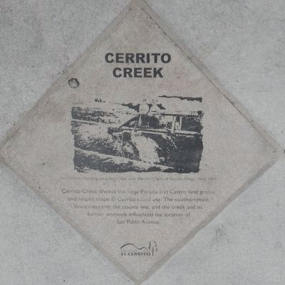
Cerrito Creek
Inscription.
Erected by City of El Cerrito.
Topics and series. This historical marker is listed in these topic lists: Natural Features • Waterways & Vessels. In addition, it is included in the California - El Cerrito - San Pablo Avenue Historical-Cultural Pavers series list.
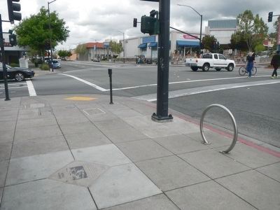
Location. 37° 53.932′ N, 122° 18.115′ W. Marker is in El Cerrito, California, in Contra Costa County. Marker is at the intersection of San Pablo Avenue and Carlson Boulevard, on the left when traveling north on San Pablo Avenue. Touch for map. Marker is at or near this postal address: 9895 San Pablo Avevue, El Cerrito CA 94530, United States of America. Touch for directions.
Other nearby markers. At least 8 other markers are within walking distance of this marker. El Cerrito Hills (within shouting distance of this marker); The Adobe Houses of Victor Castro (about 300 feet away, measured in a direct line); Ranchos San Pablo and San Antonio Boundary Monument (about 400 feet away); El Cerrito's Nightlife (about 600 feet away); The Little Hill (about 600 feet away); Historic Cerrito Creek (about 700 feet away); Rust (about 700 feet away); Site of Miller's Barn (about 700 feet away). Touch for a list and map of all markers in El Cerrito.
Regarding Cerrito Creek. This marker is at the southwest corner of San Pablo Avenue and Carlson Boulevard.
This marker is one of The City of El Cerrito's Historical-Cultural Pavers.
Credits. This page was last revised on June 16, 2016. It was originally submitted on April 22, 2016, by Barry Swackhamer of Brentwood, California. This page has been viewed 381 times since then and 17 times this year. Photos: 1, 2. submitted on April 22, 2016, by Barry Swackhamer of Brentwood, California.

