Near Manassas in Prince William County, Virginia — The American South (Mid-Atlantic)
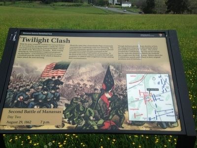
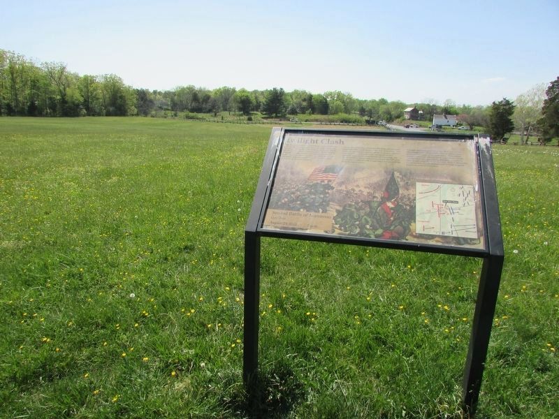
Twilight Clash
Second Battle of Manassas
— Day Two August 29, 1862 7 p.m. —
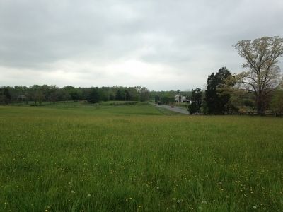
About the same time, General John Pope erroneously concluded the Confederate army was retreating. The Federal commander quickly chose to mount a pursuit and ordered a Union division westward on the turnpike towards the small hamlet of Groveton. As the head of the Union column ascended this hill near sundown, it collided with Longstreet's troops making their reconnaissance.
Though darkness prevented any decisive action, the engagement temporarily altered battle plans and instilled caution on both sides. The action revealed the Confederate army was not in retreat, but the clash also denied the Rebels the foothold they sought near the Federal army. Before dawn the Confederates quietly pulled back to their original positions west of Groveton.
Erected by Manassas National Battlefield Park, National Park Service, U.S. Department of the Interior.
Topics. This historical marker is listed in this topic list: War, US Civil. A significant historical date for this entry is August 29, 1862.
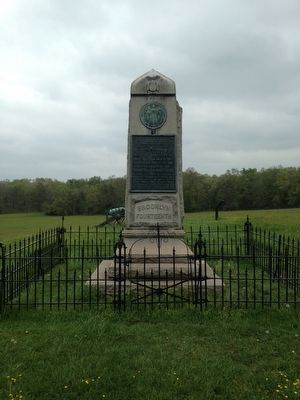
Location. 38° 48.768′ N, 77° 32.775′ W. Marker is near Manassas, Virginia, in Prince William County. Marker can be reached from Lee Highway (U.S. 29) one mile west of Sudley Road (Virginia Route 234), on the left when traveling west. Marker is located near the "Brooklyn Fourteenth" monument, 400 feet west of the first parking lot on the New York Monuments road (Driving Tour Stop 9). Touch for map. Marker is at or near this postal address: 6511 Sudley Rd, Manassas VA 20109, United States of America. Touch for directions.
Other nearby markers. At least 8 other markers are within walking distance of this marker. Fighting in Twilight (here, next to this marker); Brooklyn Fourteenth (a few steps from this marker); Federal Artillery Position (within shouting distance of this marker); Groveton Confederate Cemetery (about 300 feet away, measured in a direct line); Manassas National Battlefield Park (about 400 feet away); a different marker also named Groveton Confederate Cemetery (about 400 feet away); Groveton (about 400 feet away); New York Monuments (about 400 feet away). Touch for a list and map of all markers in Manassas.
Also see . . .
1. Manassas National Battlefield Park. National Park Service (Submitted on May 13, 2016.)
2. Old Marker at this Location. This marker replaced an older one at this location titled “Fighting in Twilight” (Submitted on May 13, 2016.)
Credits. This page was last revised on May 10, 2023. It was originally submitted on May 13, 2016, by Shane Oliver of Richmond, Virginia. This page has been viewed 540 times since then and 14 times this year. Photos: 1. submitted on May 13, 2016, by Shane Oliver of Richmond, Virginia. 2. submitted on April 29, 2023, by Bill Coughlin of Woodland Park, New Jersey. 3, 4, 5. submitted on May 13, 2016, by Shane Oliver of Richmond, Virginia. • Bernard Fisher was the editor who published this page.
