Swanton Township in Lucas County, Ohio — The American Midwest (Great Lakes)
Ohio's Last Ottawas / Swanton
Inscription.
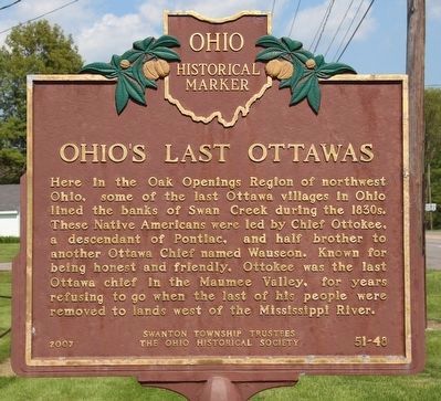
Ohio's Last Ottawas. Here in the Oak Openings Region of northwest Ohio, some of the last Ottawa villages in Ohio lined the banks of Swan Creek during the 1830s. These Native Americans were led by Chief Ottokee (Autokee), a descendant of Pontiac, and half brother to another Ottawa Chief named Wauseon. Known for being honest and friendly, Ottokee was the last Ottawa chief in the Maumee Valley, for years refusing to go when the last of his people were removed to lands west of the Mississippi River.
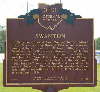
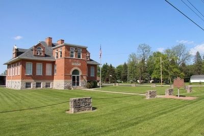
Swanton. In 1835 a road opened from Maumee to the Indiana State line, running through this area. Swanton emerged here, near the Ottawa village, as a frontier town with several shops and hotels for pioneers heading west. To the east, a tollbooth and junction from Toledo known as the Chicago Pike opened. With the arrival of the railroad, 'Old Swanton' was outstripped and moved to its present location. The Swanton Township Hall was originally a schoolhouse, built in 1909 and served as such until 1938.
Erected 2007 by Swanton Township Trustees, The Ohio Historical Society. (Marker Number 51-48.)
Topics and series. This historical marker is listed in these topic lists: Education • Native Americans • Roads & Vehicles • Settlements & Settlers. In addition, it is included in the Ohio Historical Society / The Ohio History Connection series list. A significant historical year for this entry is 1835.
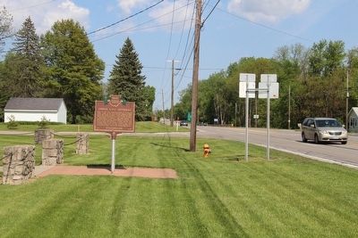
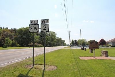
Location. 41° 34.95′ N, 83° 51.846′ W. Marker is near Swanton, Ohio, in Lucas County. It is in Swanton Township. Marker is at the intersection of Airport Highway (Ohio Route 2) and Scott Road (County Route 107), on the right when traveling west on Airport Highway. This marker is located on the front grounds of the Swanton Township Hall. Touch for map. Marker is at or near this postal address: 13410 Airport Highway, Swanton OH 43558, United States of America. Touch for directions.
Other nearby markers. At least 8 other markers are within 2 miles of this marker, measured as the crow flies. Swanton Township Veterans Memorial (approx. 0.2 miles away); Swanton (approx. half a mile away); Eastern White Pine (approx. 1.1 miles away); Ohio Buckeye (approx. 1.3 miles away); Swanton Civil War Monument (approx. 1.3 miles away); Swanton Remembers (approx. 1.3 miles away); Swanton American Legion Monument (approx. 1.4 miles away); Swanton Ohio Viet Nam Memorial (approx. 1.4 miles away). Touch for a list and map of all markers in Swanton.
Credits. This page was last revised on February 6, 2023. It was originally submitted on May 22, 2016, by Dale K. Benington of Toledo, Ohio. This page has been viewed 735 times since then and 99 times this year. Photos: 1, 2, 3, 4, 5. submitted on May 23, 2016, by Dale K. Benington of Toledo, Ohio.
