Near Goodwater in Clay County, Alabama — The American South (East South Central)
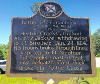
Battle of Enitachopko
Creek Indian War 1813-14.
| — | ← 4 mi. E. | — |
Photographed by Mark Hilton, June 7, 2016
1. Battle of Enitachopko Marker
Erected 1953 by Alabama Historical Association.
Topics and series. This historical marker is listed in these topic lists: Indigenous Peoples and Communities • Wars, US Indian. In addition, it is included in the Alabama Historical Association, and the Former U.S. Presidents: #07 Andrew Jackson series lists. A significant historical date for this entry is January 24, 1814.
Location. 33° 6.928′ N, 85° 59.809′ W. Marker is near Goodwater, Alabama, in Clay County. It is at the intersection of Shady Grove Road (Alabama Route 9) and Route 63, on the right when traveling north on Shady Grove Road. Located about 3.3 miles north of the Goodwater city limits. Touch for map. Marker is at or near this postal address: Shady Grove Road, Goodwater AL 35072, United States of America. Touch for directions.

Regionally, this marker is in East Alabama. It is also in the American South and specifically in the Deep South. Globally,
this page online
Other nearby markers. At least 8 other markers are within 13 miles of this marker, measured as the crow flies: Hatchett Creek Presbyterian Church (approx. 3 miles away); Socopatoy (approx. 10.1 miles away); Needmore 1873 (approx. 11.7 miles away); First United Methodist Church 1872 (approx. 11.9 miles away); The Savannah And Memphis Railroad 1874 (approx. 12.1 miles away); Court Square (approx. 12.1 miles away); First Presbyterian Church (approx. 12.2 miles away); The First Baptist Church (approx. 12.2 miles away).
Photographed by Mark Hilton, June 7, 2016
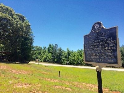
2. View of marker in direction of location of attack.
Photographed by Mark Hilton, June 7, 2016
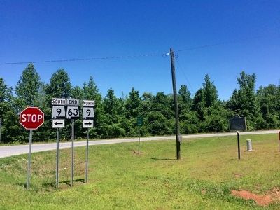
3. Wide view of marker near Alabama Highways 9 & 63.
Photographed by Mark Hilton, June 7, 2016
4. View south on Shady Grove Road.
Public Domain
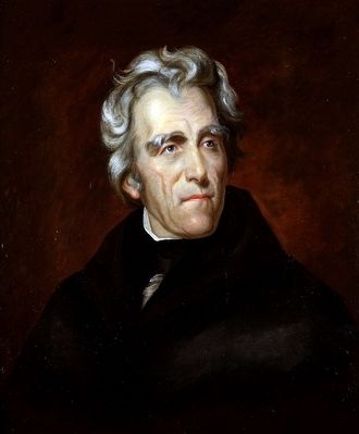
5. Andrew Jackson
Credits. This page was last revised on August 27, 2020. It was originally submitted on June 7, 2016, by Mark Hilton of Montgomery, Alabama. This page has been viewed 2,014 times since then and 139 times this year. Photos: 1, 2, 3, 4, 5. submitted on June 7, 2016, by Mark Hilton of Montgomery, Alabama.
