Ticonderoga in Essex County, New York — The American Northeast (Mid-Atlantic)
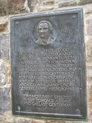
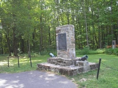
Near this spot stood Montcalm
1712 - - - 1759
Near this spot stood Louis-Joseph de Gozon Marquis de Montcalm on the 8th of July 1758. With a small force of French troops and Canadian volunteers, he prevented the capture of Fort Carillon by defeating a much superior British and Colonial army under General James Abercrombie
in 1927 to honor a brave
and gallant gentleman
Erected 1927.
Topics. This historical marker is listed in these topic lists: Colonial Era • Forts and Castles • War, French and Indian. A significant historical date for this entry is July 8, 1758.
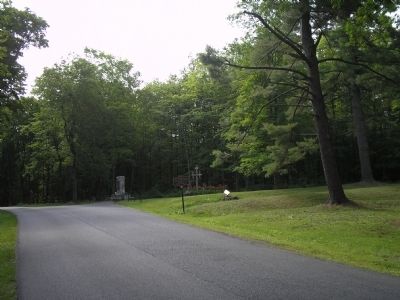
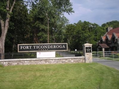
Location. 43° 50.887′ N, 73° 23.555′ W. Marker is in Ticonderoga, New York, in Essex County. Marker can be reached from Sandy Redoubt, on the right when traveling east. This marker is located on the entrance road to Fort Ticonderoga. Touch for map. Marker is in this post office area: Ticonderoga NY 12883, United States of America. Touch for directions.
Other nearby markers. At least 8 other markers are within walking distance of this marker. Hut Sites (within shouting distance of this marker); The French Lines (about 300 feet away, measured in a direct line); “The Black Watch” (about 300 feet away); The Carillon Battlefield (about 300 feet away); The French Lines & Carillon Battlefield (about 400 feet away); Carillon, July 8-1758 - 1958-13 Juillet (about 700 feet away); Troops of Colonial Wars at Ticonderoga (approx. ¼ mile away); Garrison Cemetery (approx. ¼ mile away). Touch for a list and map of all markers in Ticonderoga.
Also see . . .
1. Wars and Battles, Marquis de Montcalm 1712-1759. (Submitted on July 26, 2008, by Bill Coughlin of Woodland Park, New Jersey.)
2. The Battle of Ticonderoga 1758. Account of the battle on the website BritishBattles.com. (Submitted on July 26, 2008, by Bill Coughlin of Woodland Park, New Jersey.)
3. Fort Ticonderoga National Historic Landmark. (Submitted on July 26, 2008, by Bill Coughlin of Woodland Park, New Jersey.)
Credits. This page was last revised on November 27, 2019. It was originally submitted on July 26, 2008, by Bill Coughlin of Woodland Park, New Jersey. This page has been viewed 1,745 times since then and 28 times this year. Photos: 1, 2, 3, 4. submitted on July 26, 2008, by Bill Coughlin of Woodland Park, New Jersey.


