Kaufman in Kaufman County, Texas — The American South (West South Central)
Kaufman County Poor Farm
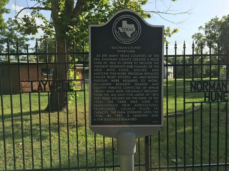
Photographed by Rheba Bybee, July 10, 2016
1. Kaufman County Poor Farm Marker
Erected 1997 by Texas Historical Commission. (Marker Number 11988.)
Topics. This historical marker is listed in these topic lists: Agriculture • Cemeteries & Burial Sites • Charity & Public Work. A significant historical year for this entry is 1883.
Location. 32° 33.973′ N, 96° 19.085′ W. Marker is in Kaufman, Texas, in Kaufman County. It can be reached from South Houston Street (County Route 1388) 0.3 miles south of South Washington Street (Texas Highway 34), on the right when traveling
this page online

Regionally, this marker is in the Prairies & Lakes Region and in the Dallas-Fort Worth Metropolitan Area. It is also in the American South. Globally, it is in North America, a Gulf of Mexico state, the Western Hemisphere, the Western World, and the Anglosphere. Historically, it finds itself in what was once New Spain, the Republic of Texas, one of the Confederate States of America, and the Antebellum South.
Other nearby markers. At least 8 other markers are within 2 miles of this marker, measured as the crow flies: Kaufman County Indigent Cemetery (approx. 0.3 miles away); Kaufman Pioneer Cemetery (approx. 0.8 miles away); First Christian Church of Kaufman (approx. 1.4 miles away); Church of Our Merciful Saviour (approx. 1½ miles away); First United Methodist Church (approx. 1½ miles away); First Baptist Church of Kaufman (approx. 1.6 miles away); Greenslade Drug Store (approx. 1.6 miles away); Kaufman County Confederate Soldiers Monument
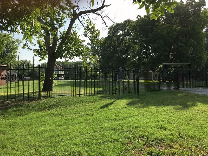
Photographed by Rheba Bybee, July 10, 2016
2. Kaufman County Poor Farm
Credits. This page was last revised on July 14, 2016. It was originally submitted on July 13, 2016, by Rheba Bybee of Seagoville, Texas. This page has been viewed 1,201 times since then and 89 times this year. Photos: 1, 2. submitted on July 13, 2016, by Rheba Bybee of Seagoville, Texas. • Bernard Fisher was the editor who published this page.
