Near Bowie in Prince George's County, Maryland — The American Northeast (Mid-Atlantic)
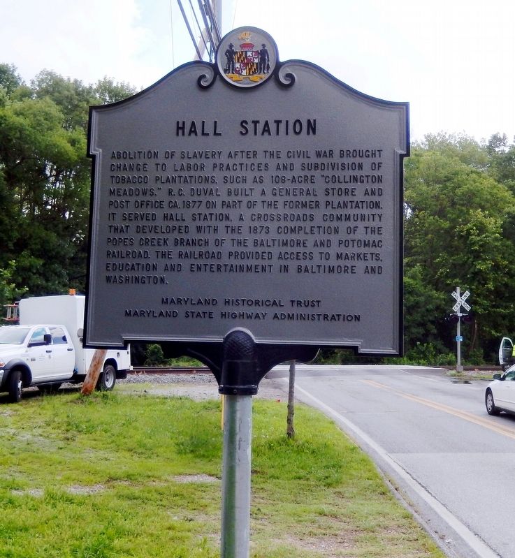
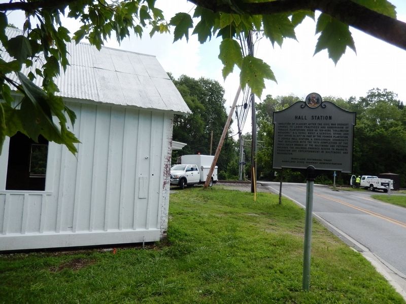
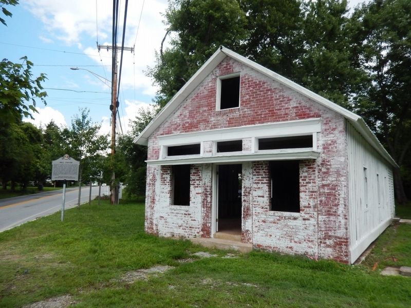
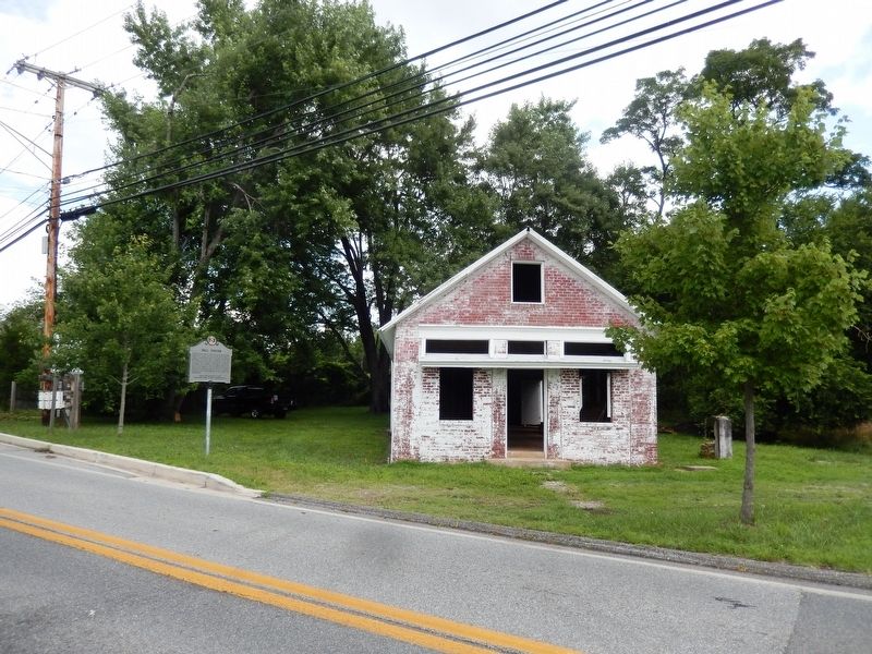
Hall Station
Erected by Maryland Historical Trust, Maryland State Highway Administration.
Topics. This historical marker is listed in these topic lists: Abolition & Underground RR • African Americans • Agriculture • Industry & Commerce. A significant historical year for this entry is 1877.
Location. 38° 54.163′ N, 76° 44.162′ W. Marker is near Bowie, Maryland, in Prince George's County. Marker is on Hall Road (Maryland Route 978) 0.1 miles west of Pointer Ridge Road. Touch for map. Marker is at or near this postal address: 15504 Hall Road, Bowie MD 20721, United States of America. Touch for directions.
Other nearby markers. At least 8 other markers are within 5 miles of this marker, measured as the crow flies. Blacksox Park (approx. 1.2 miles away); Edlavitch-Harmel House (approx. 1.6 miles away); St. Barnabas' Church (approx. 2.3 miles away); Forest Place (approx. 2.6 miles away); Historic Pin Oak (approx. 2.6 miles away); The History of Watkins Regional Park (approx. 2.9 miles away); The Chesapeake Carousel (approx. 3.3 miles away); Melford and Cemetery (approx. 4.1 miles away). Touch for a list and map of all markers in Bowie.
Credits. This page was last revised on October 3, 2022. It was originally submitted on July 14, 2016, by Don Morfe of Baltimore, Maryland. This page has been viewed 722 times since then and 75 times this year. Photos: 1, 2, 3, 4. submitted on July 14, 2016, by Don Morfe of Baltimore, Maryland. • Bill Pfingsten was the editor who published this page.


