Donaldsonville in Ascension Parish, Louisiana — The American South (West South Central)
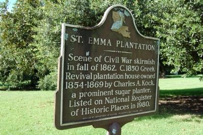
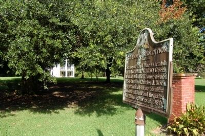
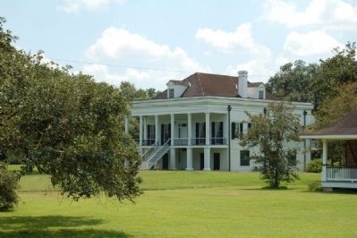
St. Emma Plantation
Erected 1981 by Department of Culture, Recreation and Tourism.
Topics. This historical marker is listed in these topic lists: Agriculture • Architecture • Settlements & Settlers • War, US Civil. A significant historical year for this entry is 1862.
Location. 30° 5.059′ N, 91° 1.786′ W. Marker is in Donaldsonville, Louisiana, in Ascension Parish. Marker is on State Highway 1, 0.2 miles south of State Highway 943, on the right when traveling south. Touch for map. Marker is in this post office area: Donaldsonville LA 70346, United States of America. Touch for directions.
Other nearby markers. At least 8 other markers are within 3 miles of this marker, measured as the crow flies. Valenzuela Dans La Fourche (approx. 2 miles away); Israel Baptist School / Formerly Baptist Church School (approx. 2.4 miles away); City Recreation Center (approx. 2.6 miles away); Bicentennial Jazz Plaza (approx. 2.6 miles away); All Roads Lead to Donaldsonville (approx. 2.6 miles away); African American Life (approx. 2.6 miles away); Central Agricultural School (approx. 2.7 miles away); Down The River (approx. 2.7 miles away). Touch for a list and map of all markers in Donaldsonville.
Credits. This page was last revised on August 14, 2022. It was originally submitted on July 24, 2015. This page has been viewed 844 times since then and 80 times this year. Last updated on July 23, 2016. Photos: 1, 2, 3. submitted on July 24, 2015. • Bill Pfingsten was the editor who published this page.


