Big Pool in Washington County, Maryland — The American Northeast (Mid-Atlantic)
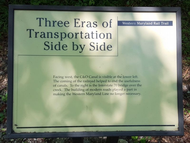
Three Eras of Transportation Side by Side
Western Maryland Rail Trail
Photographed by Bernard Fisher, July 23, 2016
1. Three Eras of Transportation Side by Side Marker
Facing west, the C&O Canal is visible at the lower left. The coming of the railroad helped to end the usefulness of canals. To the right is the Interstate 70 bridge over the creek. The building of modern roads played a part in making the Western Maryland Line no longer necessary.
Erected by Western Maryland Rail Trail.
Topics. This historical marker is listed in these topic lists: Bridges & Viaducts • Railroads & Streetcars • Roads & Vehicles • Waterways & Vessels.
Location. 39° 39.068′ N, 78° 2.846′ W. Marker is in Big Pool, Maryland, in Washington County. It can be reached from Ernstville Road 0.8 miles south of National Pike (U.S. 40), on the right when traveling south. Located on the Western Maryland Rail Trail. Touch for map. Marker is in this post office area: Big Pool MD 21711, United States of America. Touch for directions.

Regionally, this marker is in Western Maryland. It is also in the American Mid-Atlantic, in Appalachia, and specifically in Northern Appalachia. Globally, it is in North America, the Western Hemisphere, the Western
this page online
Other nearby markers. At least 8 other markers are within 4 miles of this marker, measured as the crow flies: Fort Mills (approx. 0.2 miles away); Ernstville Road Bridge (approx. 2.1 miles away); Veterans Memorial (approx. 2.3 miles away); Fort Frederick (approx. 2.3 miles away); Big Pool Junction (approx. 2.4 miles away); Millstone & Moffet Station (approx. 2.9 miles away); a different marker also named The National Road (approx. 3.4 miles away); Western Maryland (approx. 3.4 miles away). Touch for a list and map of all markers in Big Pool.
Other markers no longer nearby. The National Road (was approx. 2.4 miles away but has been permanently removed); Gettysburg Campaign (was approx. 3.4 miles away but has been permanently removed).
Also see . . . Western Maryland Rail Trail. Maryland Department of Natural Resources website entry (Submitted on July 26, 2016.)
Photographed by Bernard Fisher, July 23, 2016
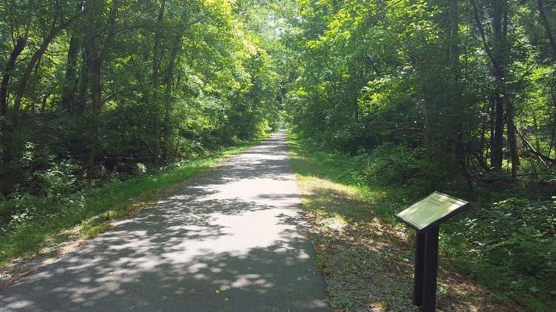
2. Western Maryland Rail Trail (WMRT)
Photographed by Bernard Fisher, July 23, 2016
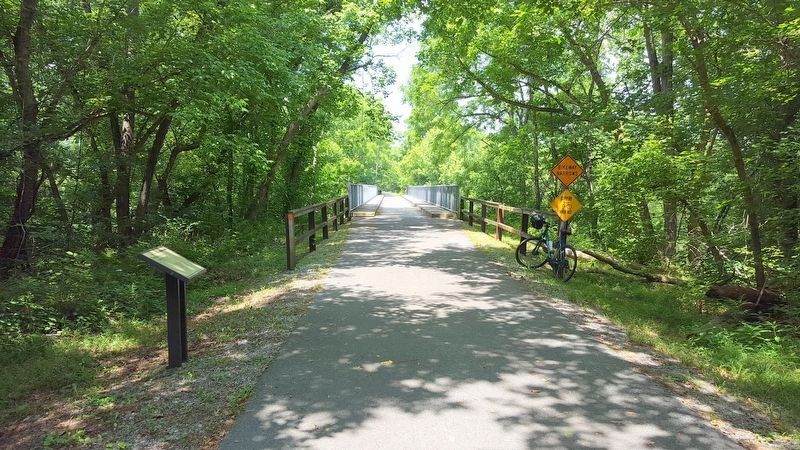
3. Licking Creek Bridge on WMRT
Credits. This page was last revised on February 22, 2022. It was originally submitted on July 26, 2016, by Bernard Fisher of Richmond, Virginia. This page has been viewed 380 times since then and 20 times this year. Photos: 1, 2, 3. submitted on July 26, 2016, by Bernard Fisher of Richmond, Virginia.
