Fort Washakie in Fremont County, Wyoming — The American West (Mountains)
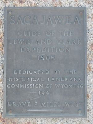
Sacajawea
1805
Grave 2 miles west
➳
Erected 1941 by Historical Landmark Commission of Wyoming.
Topics. This historical marker is listed in these topic lists: Exploration • Native Americans • Women. A significant historical year for this entry is 1805.
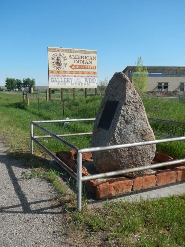
Location. 42° 59.436′ N, 108° 52.308′ W. Marker is in Fort Washakie, Wyoming, in Fremont County. Marker is at the intersection of U.S. 287 and Ethete Road, on the right when traveling north on U.S. 287. Touch for map. Marker is at or near this postal address: 14616 US Highway 287, Fort Washakie WY 82514, United States of America. Touch for directions.
Other nearby markers. At least 8 other markers are within 3 miles of this marker, measured as the crow flies. Block House (approx. 0.9 miles away); Fort Washakie World War II Veterans Memorial (approx. 1.2 miles away); Washakie (approx. 1.3 miles away); The Shoshone-Episcopal Mission Boarding School (approx. 2.1 miles away); a different marker also named Sacajawea (approx. 2.2 miles away); Mrs. Maggie Richards and Mrs. Hall (approx. 2.2 miles away); The Right Rev. George Maxwell Randall, D.D. (approx. 2.2 miles away); Sacajawea Cemetery (approx. 2.2 miles away). Touch for a list and map of all markers in Fort Washakie.
Additional keywords. Lewis and Clark Expedition
Credits. This page was last revised on April 20, 2018. It was originally submitted on July 26, 2016, by Barry Swackhamer of Brentwood, California. This page has been viewed 444 times since then and 12 times this year. Photos: 1, 2. submitted on July 26, 2016, by Barry Swackhamer of Brentwood, California.

