Near Surfside Beach in Brazoria County, Texas — The American South (West South Central)
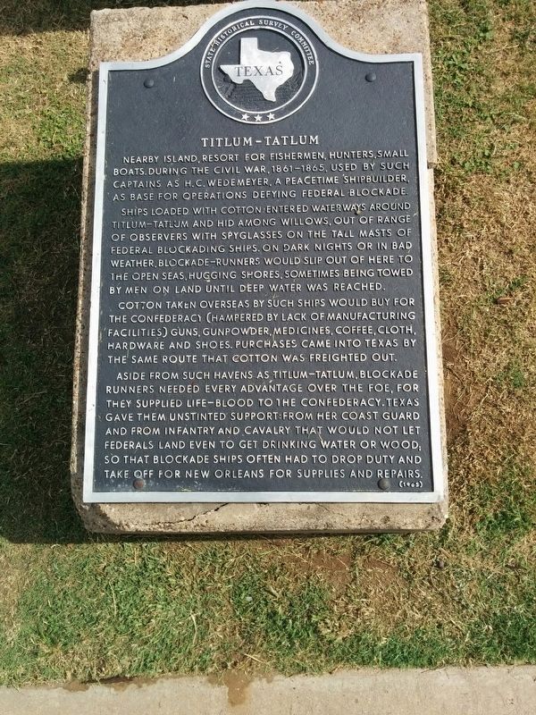
Titlum-Tatlum
Ships loaded with cotton entered waterways around Titlum-Tatlum and hid among willows, out of range of observers with spyglasses on the tall masts of Federal blockading ships. On dark nights or in bad weather, blockade-runners would slip out of here to the open seas, hugging shores, sometimes being towed by men on land until water was reached.
Cotton taken overseas by such ships would buy for the Confederacy (hampered by lack of manufacturing facilities) guns, gunpowder, medicines, coffee, cloth, hardware and shoes. Purchases came into Texas by the same route that cotton was freighted out.
Aside from such havens as Titlum-Tatlum, blockade runners needed every advantage over the foe, for they supplied life-blood to the Confederacy. Texas gave them unstinted support: from her coast guard and from infantry and cavalry that would not let Federals land even to get drinking water or wood; so that blockade ships often had to drop duty and take off for New Orleans for supplies and repairs.
Erected 1965 by State Historical Survey Committee. (Marker Number 9602.)
Topics. This historical marker is listed in these topic lists: War, US Civil • Waterways & Vessels.
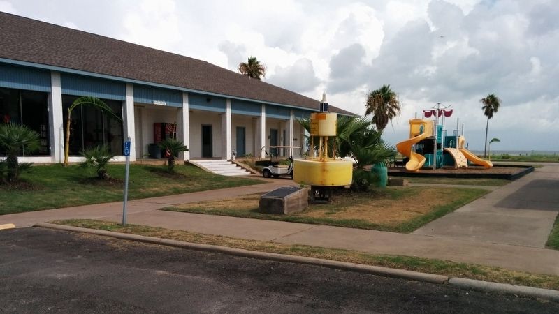
Location. 29° 4.737′ N, 95° 7.802′ W. Marker is near Surfside Beach, Texas, in Brazoria County. Marker can be reached from San Luis Pass Park, 0.3 miles west of Bluewater Highway (County Route 257). Marker can be seen from parking lot in county park, in front of playground. Touch for map. Marker is in this post office area: Freeport TX 77541, United States of America. Touch for directions.
Other nearby markers. At least 8 other markers are within 13 miles of this marker, measured as the crow flies. Site of San Luis (a few steps from this marker); Karankawa Campsite (approx. 11.7 miles away); Hudgins Cemetery (approx. 12.3 miles away); William Jarvis Cannan (approx. 12.3 miles away); Velasco (approx. 12.9 miles away); Historical Jetties (approx. 12.9 miles away); Old Velasco, CSA (approx. 12.9 miles away); Gulf Intracoastal Waterway (approx. 12.9 miles away). Touch for a list and map of all markers in Surfside Beach.
Also see . . . Mud Island (location of Titlum-Tatlum Bayou) article in Handbook of Texas Online. (Submitted on July 30, 2016, by Gregory Walker of La Grange, Texas.)
Credits. This page was last revised on August 1, 2016. It was originally submitted on July 30, 2016, by Gregory Walker of La Grange, Texas. This page has been viewed 755 times since then and 75 times this year. Photos: 1, 2. submitted on July 30, 2016, by Gregory Walker of La Grange, Texas. • Bernard Fisher was the editor who published this page.

