
Ovid in Seneca County, New York — The American Northeast (Mid-Atlantic)
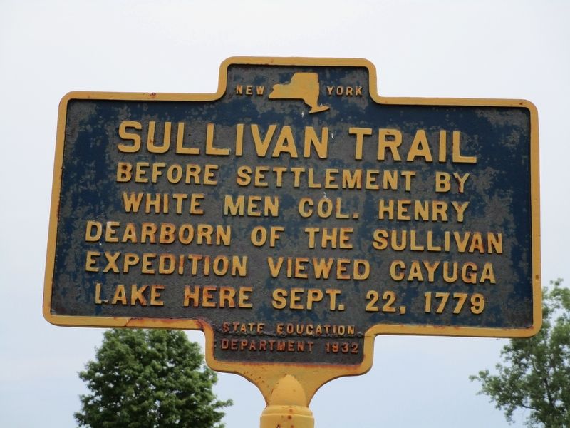
Sullivan Trail
Photographed by Anton Schwarzmueller, July 30, 2016
1. Sullivan Trail Marker
Before settlement by
white men, Col. Henry
Dearborn of the Sullivan
Expedition viewed Cayuga
Lake here Sept. 22, 1779.
Erected 1932 by New York State Education Department.
Topics and series. This historical marker is listed in these topic lists: Exploration • Wars, US Indian • Waterways & Vessels. In addition, it is included in the The Sullivan-Clinton Expedition Against the Iroquois Indians series list. A significant historical date for this entry is September 22, 1779.
Location. 42° 38.521′ N, 76° 43.865′ W. Marker is in Ovid, New York, in Seneca County. It is on New York State Route 96 one mile south of Potter Road, on the left when traveling south. Touch for map. Marker is at or near this postal address: 7942 State Route 96, Interlaken NY 14847, United States of America. Touch for directions.

Regionally, this marker is in Upstate New York, specifically in Western New York, and in the Finger Lakes. It is also in the American Northeast and in the Mid-Atlantic. Globally, it is in North America, the Western Hemisphere, the Western World, and the Anglosphere. Historically, it finds itself in
this page online
Other nearby markers. At least 8 other markers are within 5 miles of this marker, measured as the crow flies: Lake View Cemetery Civil War Memorial (approx. 1.1 miles away); Lakeview View Cemetery Veterans Memorial (approx. 1.1 miles away); The Beehive (approx. 1.6 miles away); Old School House (approx. 1.8 miles away); Town of Covert (approx. 2 miles away); Busy Bee Ferry (approx. 2 miles away); Whitney's Landing (approx. 4.4 miles away); Unknown Soldier (approx. 4.9 miles away).
Photographed by Anton Schwarzmueller, July 30, 2016
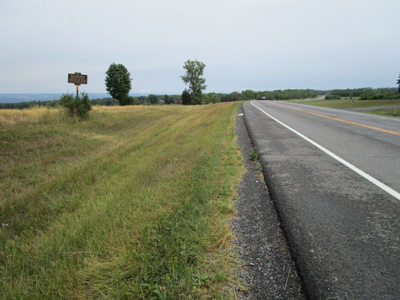
2. Southward on NY 96
Seneca Lake, one of the Finger Lakes, is between this ridge and the ridge on the horizon.
Credits. This page was last revised on July 31, 2016. It was originally submitted on July 31, 2016, by Anton Schwarzmueller of Wilson, New York. This page has been viewed 2,050 times since then and 92 times this year. Photos: 1, 2. submitted on July 31, 2016, by Anton Schwarzmueller of Wilson, New York.
