Cherished Homeland
Captain John Smith Chesapeake National Historic Trail
— National Park Service, U.S. Department of the Interior —
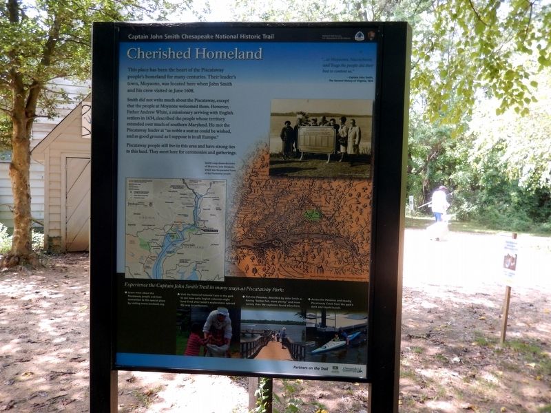
This place has been the heart of the Piscataway people’s homeland for many centuries. Their leader’s town, Moyaone, was located here when John Smith and his crew visited in June 1608.
Smith did not write much about the Piscataway, except that the people of Moyaone welcomed them. However, Father Andrew White, a missionary arriving with English settlers in 1634, described the people whose territory extended over much of southern Maryland. He met the Piscataway leader at “as noble a seat as could be wished, and as good ground as I suppose is in all Europe.”
Piscataway people still live in this area and have strong ties to this land. They meet here for ceremonies and gatherings.
“…at Moyaone, Nacotchtant, and Toags the people did their best to content us.”
Captain John Smith, The General History of Virginia, 1624.
(Inscription to the left of the map)
Smith’s map shows the town of Moyaons, now Moyaone, which was the ancestral home of the Piscataway people.
Experience the Captain John Smith Trail in many ways at Piscataway Park:
*Learn more about the Piscataway people and their connection to this special place by visiting www.accokeek.org.
*Visit the National Colonial Farm in the park to see how early English colonists might have lived after Smith’s explorations
*Fish the Potomac, described by John Smith as having”better fish, more plenty.” And more variety than the explorers found elsewhere.
*Access the Potomac and nearby Piscataway Creek from the park’s dock and kayak launch.
Erected by National Park Service, U.S. Department of the Interior.
Topics and series. This historical marker is listed in these topic lists: Colonial Era • Exploration • Native Americans. In addition, it is included in the Captain John Smith Chesapeake National Historic Trail series list. A significant historical month for this entry is June 1608.
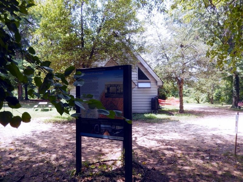
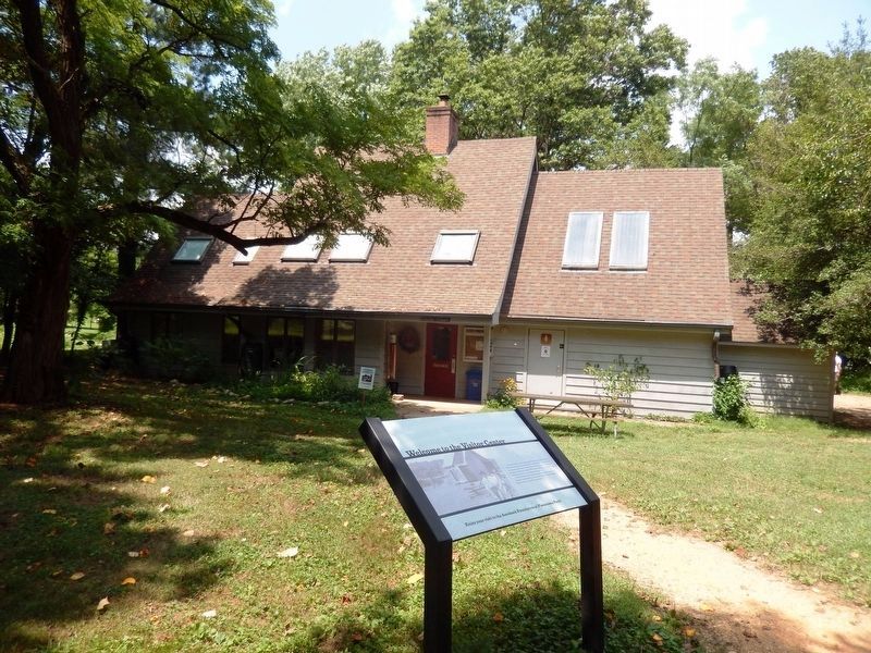
Location. 38° 41.712′ N, 77° 3.947′ W. Marker is in Accokeek, Maryland, in Prince George's County. Marker is on Bryan Point Road. This marker is to the right of the Piscataway National Park Visitor Center. Touch for map. Marker is in this post office area: Accokeek MD 20607, United States of America. Touch for directions.
Other nearby markers. At least 8 other markers are within walking distance of this marker. John Smith Explores the Chesapeake (here, next to this marker); Join the Adventure (here, next to this marker); People Shaping the Land (within shouting distance of this marker); Welcome to the Visitor Center (within shouting distance of this marker); The Hon. Frances Payne Bolton (within shouting distance of
Credits. This page was last revised on June 12, 2020. It was originally submitted on August 2, 2016, by Don Morfe of Baltimore, Maryland. This page has been viewed 404 times since then and 11 times this year. Photos: 1, 2, 3, 4, 5. submitted on August 2, 2016, by Don Morfe of Baltimore, Maryland. • Bill Pfingsten was the editor who published this page.
