Near Pulaski in Giles County, Tennessee — The American South (East South Central)
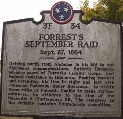
Forrest's September Raid
Sept. 27, 1864
Erected by Tennessee Historical Commission. (Marker Number 3F 34.)
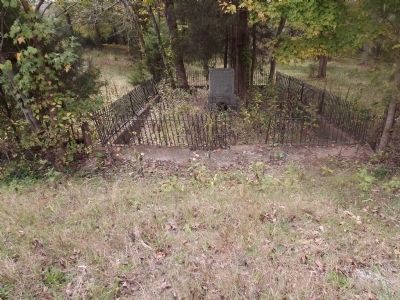
Topics and series. This historical marker is listed in these topic lists: Cemeteries & Burial Sites • War, US Civil. In addition, it is included in the Tennessee Historical Commission series list.
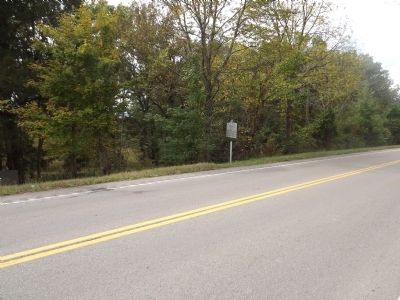
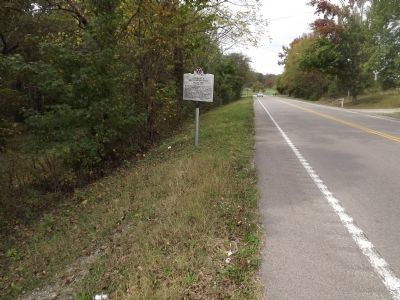
Location. 35° 8.637′ N, 86° 59.816′ W. Marker is near Pulaski, Tennessee, in Giles County. Marker is on Elkton Highway (U.S. 31) 0.2 miles north of Tarpley Shop Road, on the left when traveling north. Touch for map. Marker is at or near this postal address: 2171 Elkton Pike, Pulaski TN 38478, United States of America. Touch for directions.
Other nearby markers. At least 8 other markers are within 4 miles of this marker, measured as the crow flies. Seventh Kentucky Mounted Infantry Memorial (a few steps from this marker); Dr. William Albert Lewis (approx. 3.7 miles away); Professor John Thomas Bridgeforth (approx. 3.7 miles away); United States Colored Infantry (approx. 3.7 miles away); Pulaski Cornerstone — Southeast (approx. 3.7 miles away); Samuel “Sam” Davis (approx. 3.8 miles away); James M. McCallum (approx. 3.8 miles away); John Goff Ballentine (approx. 3.8 miles away). Touch for a list and map of all markers in Pulaski.
More about this marker. The word "casualties" is misspelled as "casualites".
Credits. This page was last revised on August 8, 2016. It was originally submitted on October 23, 2013, by Ken Smith of Milan, Tennessee. This page has been viewed 967 times since then and 40 times this year. Last updated on August 6, 2016, by Arlie Woolard of Pulaski, Tennessee. Photos: 1, 2, 3, 4. submitted on October 23, 2013, by Ken Smith of Milan, Tennessee. • Bernard Fisher was the editor who published this page.


