Benton in Saline County, Arkansas — The American South (West South Central)
Quapaws, Choctaws, and Chickasaws Passed Here
1825 - 1837
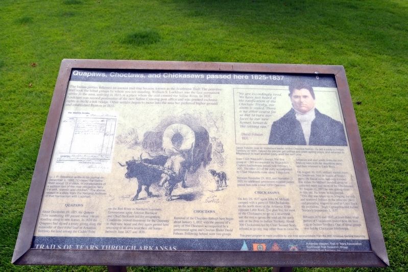
Quapaws
About December 19, 1825, the Quapaw Tribe numbering 455 passed where you are standing along to new homes. In 1824 the Quapaws had signed a treaty giving away the remainder of their tribal land in Arkansas Territory for land among the Caddo Tribe on the Red River in Northern Louisiana. Government agent Antoine Barraque and Chief Heckaton led the emigration. Conditions proved disastrous for the Quapaws in their new home and they again passed here returning to an area near their old homes between June 1827 and 1830.
Choctaws
Removal of the Choctaws through here began about January 1, 1832 with the passing of a party of 594 Choctaws accompanied by a government agent and Choctaw leader David Folsom. Following behind were two groups from Chief Nitakitchi’s district. The first group of 1,305 accompanied by Nitakitchi’s Captain Iyacherhopia passed here February 1, 1832. The other 213 of the party accompanied by Chief Nitakitchi come along 3 days later.
Between November 23, 1832, and November 21, 1833, six additional government escorted parties passed here with a total of 3,870 Choctaws.
Chickasaws
On July 25, 1837 agent John M. Millard camped with a party of 516 Chickasaws on the north shore of the Arkansas River opposite Little Rock. The plan was for most of the Chickasaws to go on a steamboat and the rest to go on the road on the north side of the river to Indian Territory. About 300 Chickasaws led by Chief Samuel Sealy refused to go any way other than to cross the Arkansas and start south down the trail. Millard went with the steamboat party and then returned to Little Rock.
On August 10, 1837, Millard started down the Southwest Trail in search of Sealy’s party. He found some had only traveled five miles. As Millard traveled along he collected more and more of the Chickasaws. By August 12, 1837 he was getting close to this site. He wrote in his journal, “This day was taken up in bringing the sick and scattered Indians to the principal party and procuring wagons to send to Little Rock for provisions.” Sealy’s group reached Indian Territory September 3, 1837.
Between 1838 and 1842, at least three other parties of Chickasaws passed here on their way to Indian Territory. One of these groups was led by Chickasaw Ishehotopa.
(Left Image Caption)
Lt. I.P. Simonton wrote in his journal on December 3, 1832, “Crossed the Saline River about 12 o’clock. In consequence of a sudden rise of the river obliged to ferry the sick, women and children.” The above receipt is a copy from the National Archives of that transaction with Lockhart.
(Quotation on Right Image)
“We are exceedingly tired. We have just heard of the ratification of the Choctaw Treaty, our doom is sealed. There is no other course for us but to turn our faces to our new homes, towards the setting sun.” David Folsom, 1831
(Right Image Caption)
David Folsom was an important leader of the Choctaw Nation. He led a party to Indian Territory in 1831, helped his people get settled and plant spring crops, and returned to Mississippi to lead another party west the next year.
Erected by Arkansas Chapter, Trail of Tears Association; Southwest Trail Research Group; Heritage Trail Partners, Inc.
Topics and series. This historical marker is listed in these topic lists: Native Americans • Roads & Vehicles
• Settlements & Settlers. In addition, it is included in the Trail of Tears series list. A significant historical date for this entry is December 19, 1825.
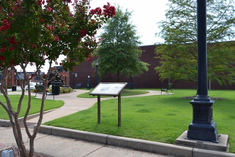
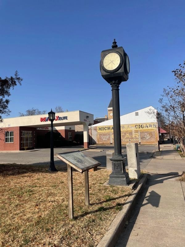
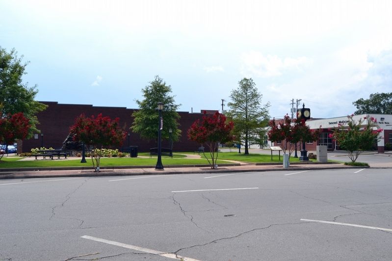
Location. 34° 33.828′ N, 92° 35.22′ W. Marker is in Benton, Arkansas, in Saline County. Marker is at the intersection of N. Main Street and W. South Street, on the right when traveling south on N. Main Street. Marker is located in Bart Owens - Randy Mooney Memorial Park. Touch for map. Marker is in this post office area: Benton AR 72015, United States of America. Touch for directions.
Other nearby markers. At least 8 other markers are within walking distance of this marker. Saline County Revolutionary War Soldiers (about 300 feet away, measured in a direct line); IOOF Building (about 300 feet away); Saline County Records (about 300 feet away); Saline County's Everlasting Tribute (about 400 feet away); Old Southwest Trail (about 400 feet away); Saline County in the Civil War (about 500 feet away); Persian Gulf War Memorial (about 600 feet away); Bicentennial - Saline District Memorial (about 600 feet away). Touch for a list and map of all markers in Benton.
More about this marker. The marker is part of the series titled Trails of Tears Through Arkansas. The grant program that funded this sign was made possible by one-time appropriations from the 86th Arkansas General
Assembly.
Also see . . . Trail of Tears. From The Encyclopedia of Arkansas History & Culture. (Submitted on August 8, 2016.)
Credits. This page was last revised on December 4, 2022. It was originally submitted on August 8, 2016, by Duane Hall of Abilene, Texas. This page has been viewed 643 times since then and 20 times this year. Photos: 1, 2. submitted on August 8, 2016, by Duane Hall of Abilene, Texas. 3. submitted on December 4, 2022, by Thomas Smith of Waterloo, Ill. 4. submitted on August 8, 2016, by Duane Hall of Abilene, Texas.


