Clarksville in Red River County, Texas — The American South (West South Central)
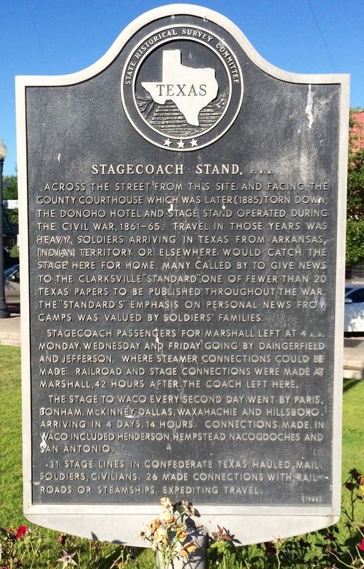
Stagecoach Stand, C. S. A.
Photographed by Mark Hilton, July 21, 2016
1. Stagecoach Stand, C. S. A. Marker
Stagecoach passengers for Marshall left at 4 a.m. Monday, Wednesday and Friday, going by Daingerfield and Jefferson, where steamer connections could be made. Railroad and stage connections were made at Marshall, 42 hours after the coach left here. The stage to Waco every second day went by Paris, Bonham, McKinney, Dallas, Waxahachie and Hillsboro, arriving in 4 days, 14 hours. Connections made in Waco included Henderson, Hempstead, Nacogdoches and San Antonio.
31 stage lines in Confederate Texas hauled mail, soldiers, civilians. 26 made connections with railroads or steamships, expediting travel.
Erected 1964 by State Historical Survey Committee. (Marker Number 10893.)
Topics. This historical marker is listed in these topic lists: Notable Places • Roads & Vehicles • War, US Civil.
Location. 33° 36.678′ N, 95° 3.018′ W. Marker is in Clarksville, Texas, in Red River County. It can be reached from the intersection of Walnut Street and Main Street (U.S. 82). Touch for map. Marker is at or near this postal address: 114 Walnut Street, Clarksville TX 75426, United States of America. Touch for directions.

Regionally, this marker is in the American South and in the Piney Woods. Globally, it is in North America, a
this page online
Other nearby markers. At least 8 other markers are within walking distance of this marker: The Rev. William Stevenson (here, next to this marker); Members of Confederate Congresses (a few steps from this marker); Five Signers of the Texas Declaration of Independence from Red River County (a few steps from this marker); Home of Col. Charles DeMorse (about 500 feet away, measured in a direct line); First Presbyterian Church Clarksville (about 600 feet away); The Northern Standard (about 600 feet away); Red River County War Memorial (about 700 feet away); Red River Courthouse (approx. 0.2 miles away). Touch for a list and map of all markers in Clarksville.
Additional keywords. Stagecoach Stand, C. S. A.
Photographed by Mark Hilton, July 21, 2016
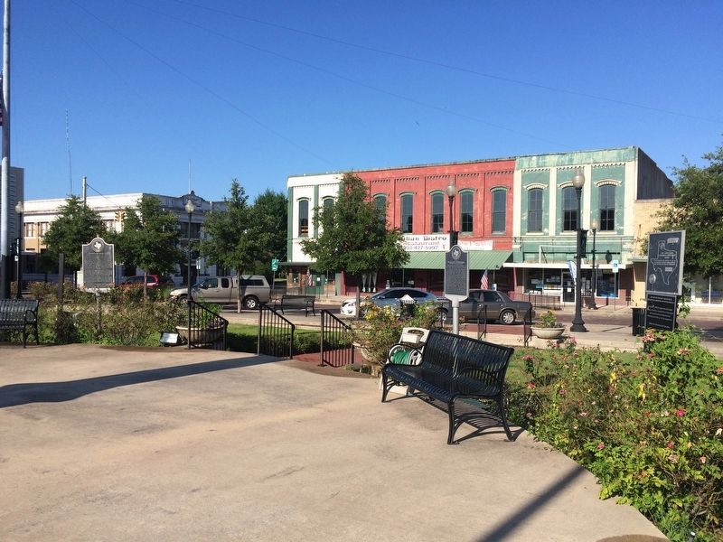
2. Marker is on left of photo, with the Red River Bank behind it on Main Street.
Photographed by Mark Hilton, July 21, 2016
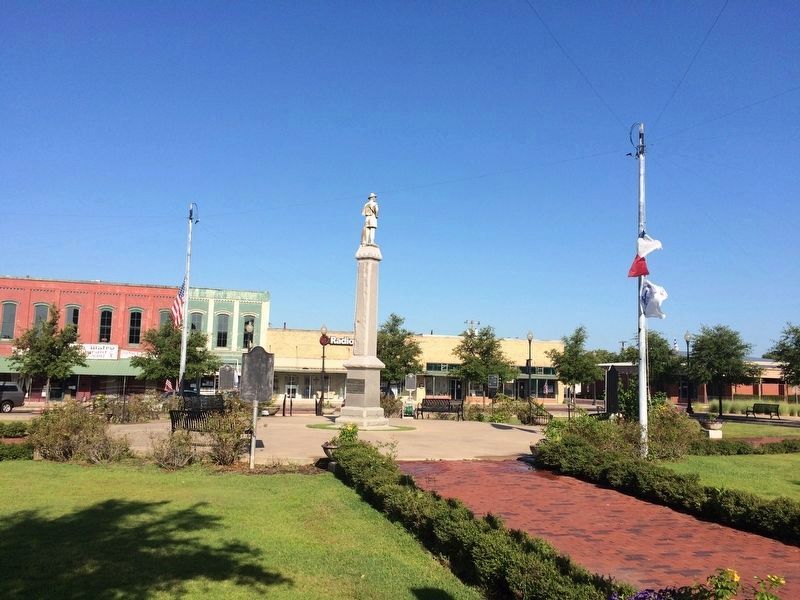
3. Marker is just to right of the American Flag on left side of photo.
Marker located near a memorial to Confederate soldiers who served and those who died.
Credits. This page was last revised on August 10, 2016. It was originally submitted on August 9, 2016, by Mark Hilton of Montgomery, Alabama. This page has been viewed 860 times since then and 46 times this year. Photos: 1, 2, 3. submitted on August 9, 2016, by Mark Hilton of Montgomery, Alabama.
