Sarasota in Sarasota County, Florida — The American South (South Atlantic)
Sarasota's Bayfront
Photographed by Tim Fillmon, August 19, 2016
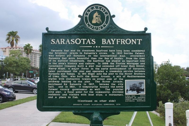
1. Sarasota's Bayfront Marker
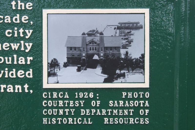
Sarasota Bay and its downtown bayfront have long been considered the brightest jewels in Sarasota’s crown. In 1910 Bertha Palmer, who helped put Sarasota on the international map, proclaimed Sarasota Bay more beautiful than the Bay of Naples. From the time of its earliest inhabitants, the bayfront has played an important role in the area’s history and culture. In 1886 the Florida Mortgage and Investment Company built a pier that extended off lower Main Street; Harry Higel, a major force in the early development of Sarasota, later purchased the pier and operated a steamship service between Sarasota and Tampa. In 1911 Higel sold the pier to the Hover Brothers of Lima, Ohio, who built the Hover Arcade, a mix of Mediterranean styles with distinctive towers on either side of the archway leading to the pier. The Hover Arcade, purchased by Sarasota in 1917, became the city hall, and in 1921, it temporarily housed the newly formed county government as well. The popular city pier, a focal point for the community, provided residents and visitors with boat slips, a restaurant, and a place to fish.
this page online
Photographed by Tim Fillmon, August 19, 2016
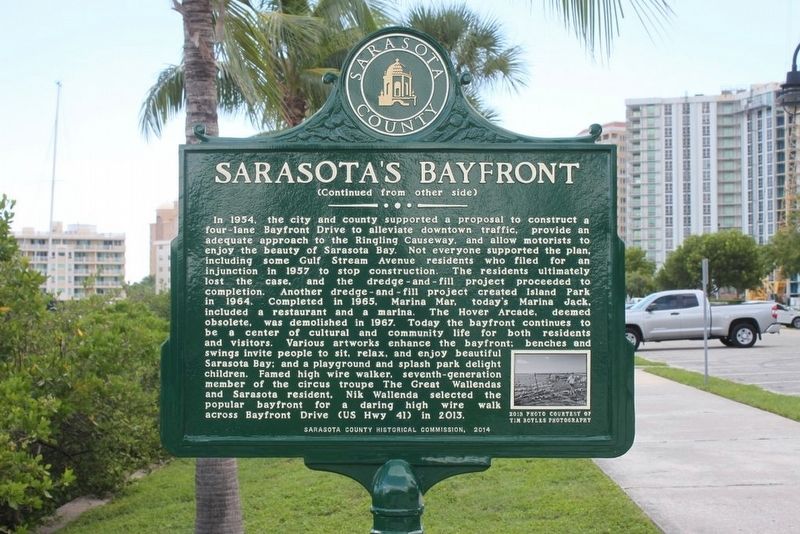
2. Sarasota's Bayfront Marker Reverse
Erected 2014 by Sarasota County Historical Commission.
Topics. This historical marker is listed in these topic lists: Roads & Vehicles • Waterways & Vessels. A significant historical year for this entry is 1910.
Location. 27° 20.074′ N, 82° 32.76′ W. Marker is in Sarasota, Florida, in Sarasota County. It is on Bayfront Drive (U.S. 41) 0.1 miles north of Main Street, on the right when traveling south. Touch for map. Marker is in this post office area: Sarasota FL 34236, United States of America. Touch for directions.

Regionally, this marker is on Florida’s Gulf Coast. It is also in the American South and on the Gulf Coast. Globally, it is in the North Atlantic Region, North America, a Gulf of Mexico state, the Western Hemisphere, the Western World, and the Anglosphere. Historically, it finds itself in what was once New Spain, the territory of the Mississippian Culture, one of the Confederate States of America, and the Antebellum South.
Other nearby markers. At least 8 other markers are within walking distance of this marker: Landing of the Scots (about 500
Photographed by Tim Fillmon, August 19, 2016
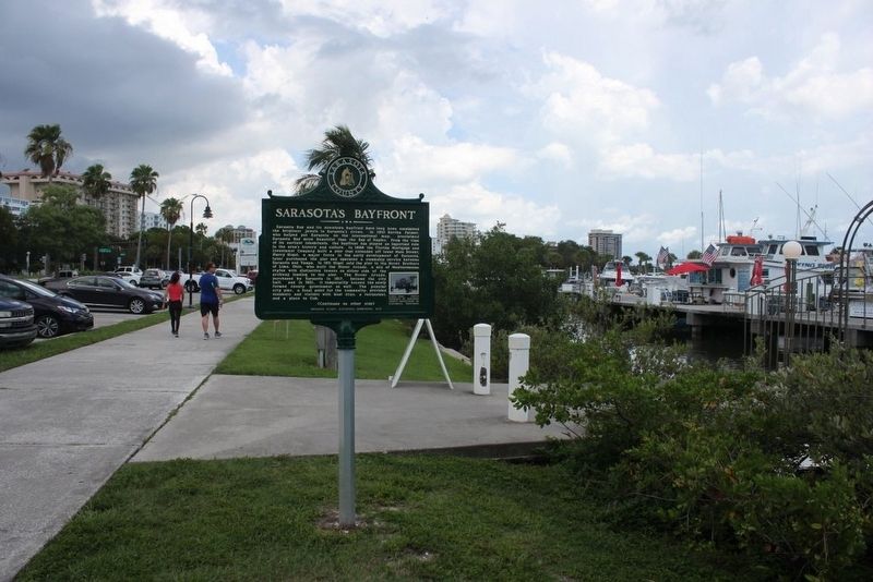
3. Sarasota's Bayfront Marker and surrounding area looking south
Photographed by Tim Fillmon, August 19, 2016
4. Hover Arcade
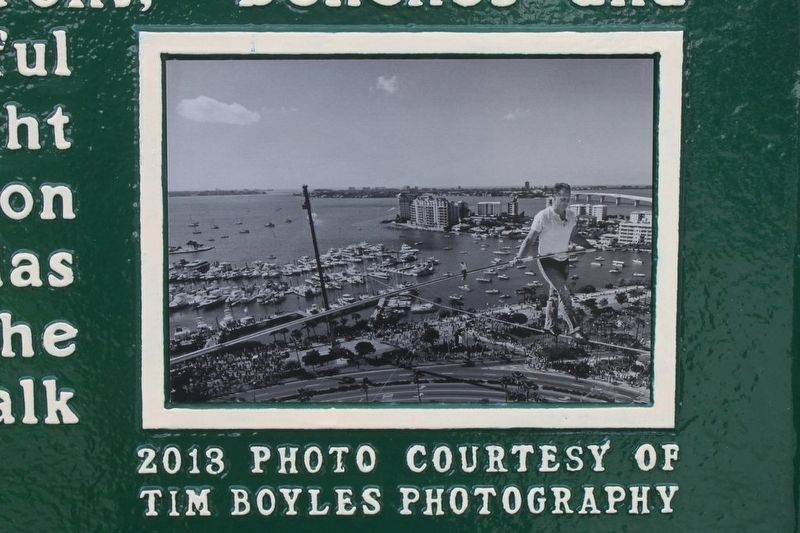
Photographed by Tim Fillmon, August 19, 2016
5. Nik Wallenda
Credits. This page was last revised on June 21, 2018. It was originally submitted on August 22, 2016, by Tim Fillmon of Webster, Florida. This page has been viewed 775 times since then and 34 times this year. Photos: 1, 2, 3, 4, 5. submitted on August 22, 2016, by Tim Fillmon of Webster, Florida. • Bernard Fisher was the editor who published this page.
