Corydon in Harrison County, Indiana — The American Midwest (Great Lakes)
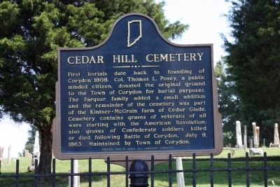
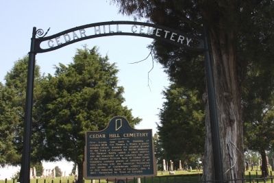
Cedar Hill Cemetery
Erected 1966 by Cedar Hill Cemetery Committee. (Marker Number 31.1966.4.)
Topics and series. This historical marker is listed in these topic lists: Cemeteries & Burial Sites • Settlements & Settlers • War, US Civil. In addition, it is included in the Indiana Historical Bureau Markers series list. A significant historical date for this entry is July 9, 1922.
Location. 38° 12.867′ N, 86° 7.315′ W. Marker is in Corydon, Indiana, in Harrison County. Marker is at the intersection of Summit Street and North Maple Street, on the left when traveling east on Summit Street. Touch for map. Marker is in this post office area: Corydon IN 47112, United States of America. Touch for directions.
Other nearby markers. At least 8 other markers are within walking distance of this marker. Leora Brown School (about 300 feet away, measured in a direct line); Early African American Education (about 400 feet away); St. Paul African Methodist Episcopal Church (about 500 feet away); First State Office Building (approx. 0.2 miles away); Governor's Headquarters (approx. ¼ mile away); John Shields (approx. ¼ mile away); Corydon (approx. ¼ mile away); The Liar's Bench (approx. ¼ mile away). Touch for a list and map of all markers in Corydon.
Credits. This page was last revised on November 18, 2019. It was originally submitted on July 30, 2008, by Al Wolf of Veedersburg, Indiana. This page has been viewed 1,732 times since then and 26 times this year. Photos: 1, 2. submitted on July 30, 2008, by Al Wolf of Veedersburg, Indiana. • Kevin W. was the editor who published this page.

