Near Manassas in Prince William County, Virginia — The American South (Mid-Atlantic)
Opening Shots
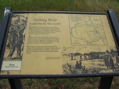
"Look Out for Your Left!"
— First Battle of Manassas —
After two hours Colonel Evans became suspicious; no Federal attack had developed. Then an officer flagged a message from the signal post near Manassas Junction: "Look out for your left! You are turned!"
Leaving a small force here to guard the bridge, Evans shifted his badly outnumbered troops toward Matthews Hill, a mile west. There he hoped to blunt the Federal flank attack.
Topics. This historical marker is listed in this topic list: War, US Civil.
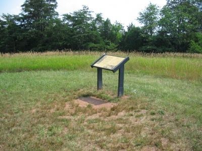
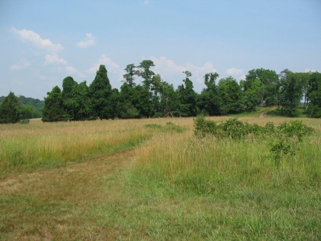
Location. This marker has been replaced by another marker nearby. 38° 49.399′ N, 77° 30.622′ W. Marker is near Manassas, Virginia, in Prince William County. Marker can be reached from Lee Highway (U.S. 29), on the right when traveling west. Located in the Manassas National Battlefield Park, along the Stone Bridge Trail loop. Touch for map. Marker is in this post office area: Manassas VA 20109, United States of America. Touch for directions.
Other nearby markers. At least 8 other markers are within walking distance of this location. 4th South Carolina Infantry (here, next to this marker); a different marker also named Opening Shots (a few steps from this marker); The Van Pelt House (about 600 feet away, measured in a direct line); Farm Ford (approx. 0.3 miles away); Union Retreat (approx. 0.4 miles away); Strategic Crossing (approx. 0.4 miles away); Stone Bridge (approx. 0.4 miles away); Robinson House (approx. 0.6 miles away). Touch for a list and map of all markers in Manassas.
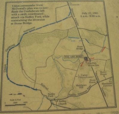
More about this marker. On the lower right is a drawing depicting A large Parrott cannon fires the first shot of the battle. In the upper right is a map illustrating the tactical situation described in the text. Union commander Irvin McDowell's plan was to outflank the Confederate left with a swift, coordinated attack via Sudley Ford, while maintaining the diversion at Stone Bridge.
This marker was replaced by a new one also named Opening Shots (see nearby markers).
Credits. This page was last revised on June 16, 2016. It was originally submitted on July 30, 2008, by Craig Swain of Leesburg, Virginia. This page has been viewed 1,310 times since then and 16 times this year. Photos: 1, 2, 3, 4. submitted on July 30, 2008, by Craig Swain of Leesburg, Virginia.


