Hebron in Licking County, Ohio — The American Midwest (Great Lakes)
Hebron
The Historic National Road in Ohio
| — | Transportation Crossroad | — |
Photographed by Rev. Ronald Irick, September 2, 2016
1. Hebron Marker
Where the Water Met the Road
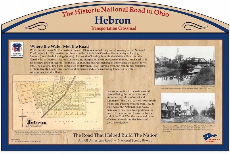
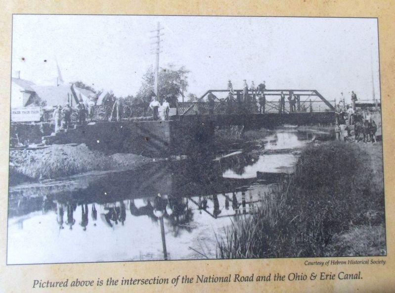
While the citizens of St. Clairsville, in eastern Ohio, celebrated the groundbreaking for the National Road on July 4, 1825, construction began on the Ohio & Erie Canal on the same day at Licking Summit (now Heath, Licking County), Just south of Licking Summit, the National Road and the Canal were to intersect. A group of investors, recognizing the importance of the site, purchased land for the new town of Hebron. By the fall of 1825 the businessmen began advertising the sale of town lots. The National Road was completed to Hebron in 1832. Within a year, the community consisted of about twenty houses, five stores, and numerous industries including tanneries, sawmills, warehouses, and distilleries.
Few communities in the nation could boast of being the home of two such important corridors of travel and commerce. The Canal carried north-south freight and passenger traffic from 1827 to 1861, while the National Road was a mainstay of east-west transportation for much of the same era. However, by the end of the Civil War, the faster and more efficient railroads put the Road and Canal into decline.
Erected 2010
this page online
Topics and series. This historical marker is listed in these topic lists: Industry & Commerce • Railroads & Streetcars • Roads & Vehicles • Waterways & Vessels. In addition, it is included in the Ohio and Erie Canal, and the The Historic National Road series lists.
Location. 39° 57.615′ N, 82° 30.25′ W. Marker is in Hebron, Ohio, in Licking County. It can be reached from West Main Street National Road (U.S. 40). Marker is at the north west entrance of the Hebron Municipal Building and Librbary. Touch for map. Marker is at or near this postal address: 934 West Main Street, Hebron OH 43025, United States of America. Touch for directions.

Regionally, this marker is in the Columbus Metropolitan Area. It is also in the American Midwest, in the Corn Belt, in Appalachia, and specifically in Northern Appalachia. Globally, it is in North America, the Western Hemisphere, the Western World, and the Anglosphere. Historically, it finds itself in what was once the Haudenosaunee (Iroquois) Confederacy, the territory of the Mississippian
Photographed by Rev. Ronald Irick, September 2, 2016
2. Hebron Marker
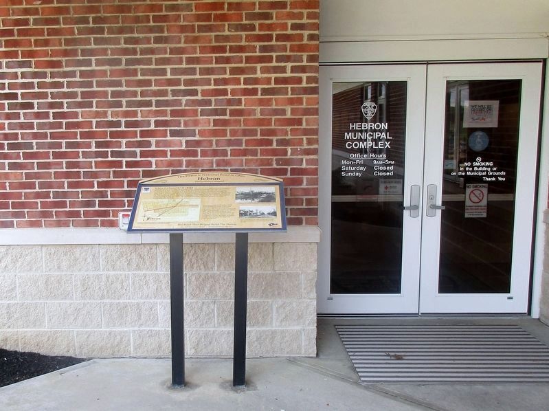
Full view of marker
Other nearby markers. At least 8 other markers are within 3 miles of this marker, measured as the crow flies: A different marker also named Hebron (approx. 0.8 miles away); Hebron Mill (approx. 0.8 miles away); Hebron Milling Company (approx. 0.8 miles away); Hebron Veterans Memorial (approx. 1.4 miles away); Buckeye Lake (approx. 2.3 miles away); Buckeye Lake Park (approx. 2.3 miles away); Buckeye Lake Dam (approx. 2.4 miles away); Eisenhower Interstate System (approx. 2.9 miles away). Touch for a list and map of all markers in Hebron.
Another marker is no longer nearby. Buckeye Lake Amusement Park (was approx. 2.3 miles away but has been permanently removed).
Additional keywords. Old National Road
Photographed by Rev. Ronald Irick, September 2, 2016
3. Hebron Marker
Marker can be seen at a distance, in front of the Administration Office
Photographed by Rev. Ronald Irick, September 2, 2016
4. Hebron Marker
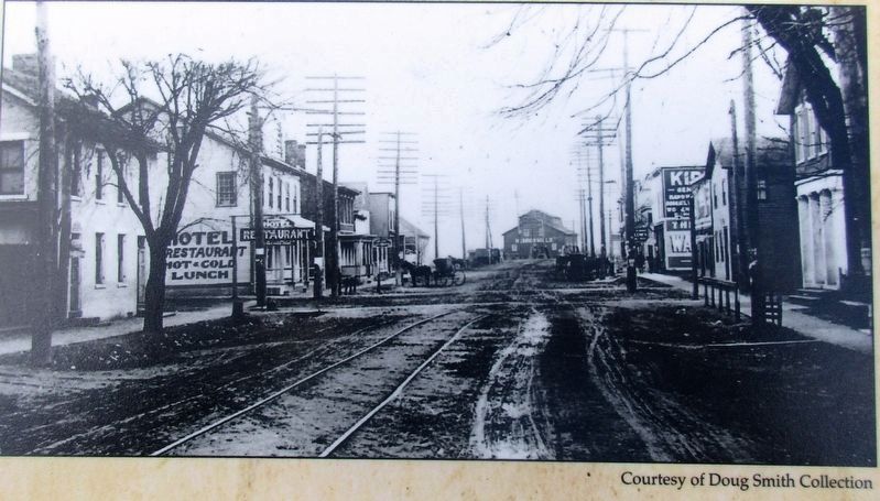
Street scene picture on marker
Photographed by Rev. Ronald Irick, September 2, 2016
5. Hebron Marker
Picture on marker; the crossing of the National Road and the Ohio & Erie Canal.
Credits. This page was last revised on September 8, 2016. It was originally submitted on September 7, 2016, by Rev. Ronald Irick of West Liberty, Ohio. This page has been viewed 655 times since then and 24 times this year. Photos: 1, 2, 3, 4, 5. submitted on September 7, 2016, by Rev. Ronald Irick of West Liberty, Ohio. • Bill Pfingsten was the editor who published this page.
