Downtown in Frederick in Frederick County, Maryland — The American Northeast (Mid-Atlantic)
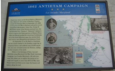
1862 Antietam Campaign
Lee Invades Maryland
Photographed by Craig Swain, September 9, 2007
1. 1862 Antietam Campaign Marker
On September 17, at the Battle of Antietam, the two armies clashed in the bloodiest single day in American History and suffered some 23,000 casualties. Lee soon retreated across the Potomac, ending his first invasion of the North.
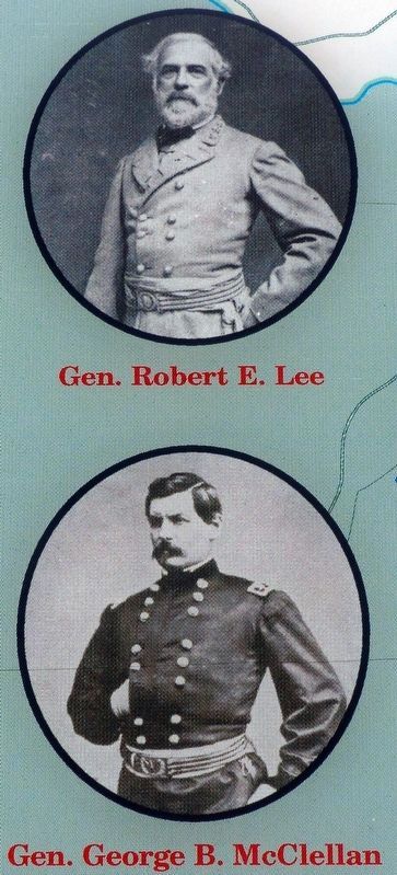
Follow in the footsteps of Gens. Lee and McClellan along Maryland Civil War Trails’ Antietam Campaign: Lee Invades Maryland, a 90 mile tour route that allows you to explore the stories of triumph and tragedy at more than 60 Civil War sites. Please drive carefully as you enjoy the beauty and history along the trail.
Erected by Maryland Civil
this page online
Topics and series. This historical marker is listed in this topic list: War, US Civil. In addition, it is included in the Maryland Civil War Trails series list. A significant historical year for this entry is 1862.
Location. This marker has been replaced by another marker nearby. It was located near 39° 24.836′ N, 77° 24.563′ W. Marker was in Frederick, Maryland, in Frederick County. It was in Downtown. It was on East Patrick Street (State Highway 144), on the left when traveling west. Located on the west side wall of the National Museum of Civil War Medicine. Touch for map. Marker was at or near this postal address: 48 East Patrick Street, Frederick MD 21701, United States of America. Touch for directions.

Regionally, this marker was in the Washington Metropolitan Area and in Central Maryland. It was also in the American Mid-Atlantic. Globally, it was in North America, the Western Hemisphere, the Western World, and the Anglosphere. Historically, it found itself in what was once one of the original Thirteen Colonies and also the Antebellum South.
Other nearby markers. At least 8 other markers are within walking
Photographed by Craig Swain, September 9, 2007
2. National Museum of Civil War Medicine
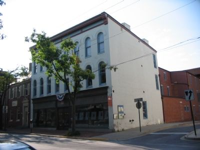
Two Civil War Trails markers face the alley beside a Frederick informational map.
Other markers no longer nearby. Hospitals in Frederick (was here, next to this marker but has been replaced with another marker now near it); Frederick (was a few steps from this marker but has been replaced with another marker now near it); a different marker also named Frederick (was within shouting distance of this marker but has been replaced with another marker now near it); A Crossroads of American History (was about 400 feet away but has been replaced with another marker now near it).
More about this marker. The
Photographed by Brandon Fletcher, June 25, 2009
3. 1862 Antietam Campaign Marker
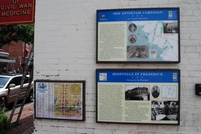
Markers are located on the wall of the National Museum of Civil War Medicine
Regarding 1862 Antietam Campaign. This marker is one of the standard set used to orient travelers to the Antietam Campaign.
Related marker. Click here for another marker that is related to this marker. This marker has been replaced with the linked marker. There are differences in inscription.
Photographed by Brandon Fletcher, June 25, 2009
4. 1862 Antietam Campaign Marker
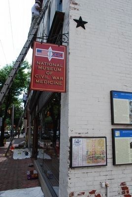
Markers are located on the wall of the National Museum of Civil War Medicine
Photographed by Craig Swain, September 9, 2007
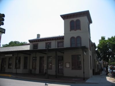
5. Old B & O Railroad Station
At the corner of Market and All Saints Street (roughly two blocks south of the Museum), the railroad ran through Frederick here during the Civil War. On October 4, 1862, Abraham Lincoln spoke to the citizens of Frederick from a rail car while returning from a visit to Antietam and a conference with General George B. McClellan.
Photographed by Allen C. Browne, July 2, 2016
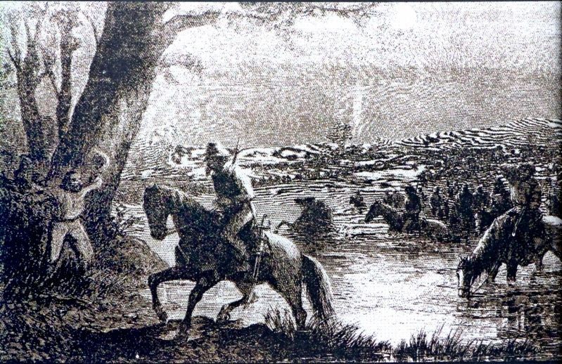
6. The Confederate army crosses the Potomac River into Maryland
Photographed by Allen C. Browne, July 2, 2016
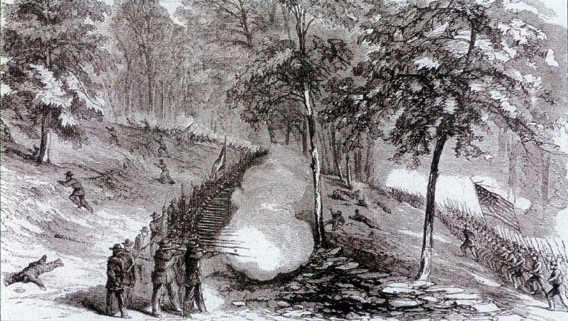
7. Franklin's Corps storming Crampton's Gap on South Mountain
Photographed by Allen C. Browne, July 2, 2016
8. Gen. Robert E. Lee / Gen. George B. McClellan
Photographed by Brandon Fletcher, June 25, 2009
9. 1862 Antietam Campaign Marker
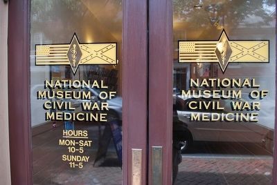
Markers are located on the wall of the National Museum of Civil War Medicine
Photographed by Brandon Fletcher, June 25, 2009
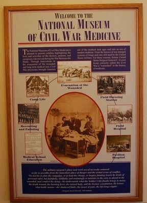
10. National Museum of Civil War Medicine
Credits. This page was last revised on June 30, 2024. It was originally submitted on October 6, 2007, by Craig Swain of Leesburg, Virginia. This page has been viewed 1,841 times since then and 24 times this year. Last updated on September 18, 2016, by Allen C. Browne of Silver Spring, Maryland. Photos: 1, 2. submitted on October 6, 2007, by Craig Swain of Leesburg, Virginia. 3, 4. submitted on August 10, 2015, by Brandon Fletcher of Chattanooga, Tennessee. 5. submitted on October 6, 2007, by Craig Swain of Leesburg, Virginia. 6, 7, 8. submitted on September 18, 2016, by Allen C. Browne of Silver Spring, Maryland. 9, 10. submitted on August 10, 2015, by Brandon Fletcher of Chattanooga, Tennessee. • Bill Pfingsten was the editor who published this page.
