Spotted Horse in Campbell County, Wyoming — The American West (Mountains)
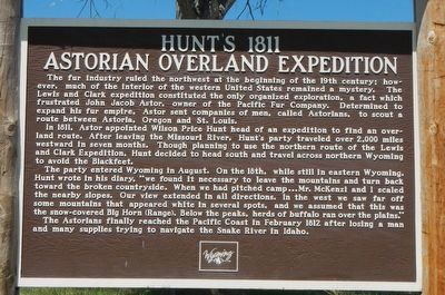
Hunt's 1811 Astorian Overland Expedition
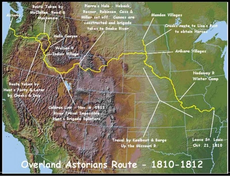
In 1811, Astor appointed Wilson Price Hunt head of an expedition to find an overland route. After leaving Missouri River, Huntís party traveled over 2,000 miles westward in seven months. Though planning to use the northern route of the Lewis and Clark Expedition, Hunt decided to head south and travel across northern Wyoming to avoid the Blackfeet.
The party entered Wyoming in August. On the 18th, while still in eastern Wyoming, Hunt wrote in his diary, “we found it necessary to leave the mountains and turn back toward the broken countryside. When we had pitched camp Ö Mr. McKenzi and I scaled the nearby slopes. Our view extended in all directions. In the west we saw far off some mountains that appeared white in several spots, and we assumed that this was the snow-covered Big Horn [Range]. Below the peaks, herds of buffalo ran over the plans.” The Astorians finally reached the Pacific Coast in February 1812 after losing a man and many supplies trying to navigate the Snake River in Idaho.
Erected by Wyoming State Historic Preservation Office.
Topics. This historical marker is listed in these topic lists: Exploration • Industry & Commerce.
Location. 44° 42.505′ N, 105° 50.181′ W. Marker is in Spotted Horse, Wyoming, in Campbell County. Marker is on U.S. 16 at milepost 70 near Werner Road, on the right when traveling east. Touch for map. Marker is at or near this postal address: 7021 US Highway 14/16, Gillette WY 82716, United States of America. Touch for directions.
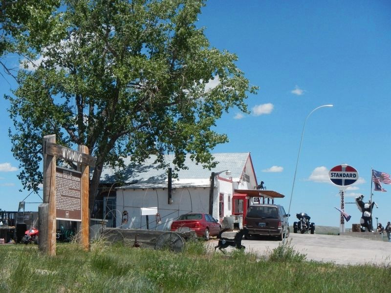
More about this marker. This marker is located next to the Spotted Horse Bar, just about the only thing out there.
Also see . . .
1. The Pacific Fur Company - Wikipedia. Consult the "Overland Expedition" section. br As the leader of the expedition Hunt would make a number of decisions which were disastrous. The movement of Hunt's group has been described as "a company of traders forging westward in [a] haphazard fashion." (Submitted on September 19, 2016, by Barry Swackhamer of Brentwood, California.)
2. Marie Dorion and The Astoria Expedition - Historynet. Marie Dorion was the only woman on the 1811-12 overland expedition financed by John
Jacob Astor, to establish a fur trading post at the mouth of the Columbia River. That second American crossing of the continent was the result of Astorís competition with the British Hudsonís Bay Company. Astor, after having made a fortune on the fur resources about the Great Lakes, planned to establish a trading post on the coast of Oregon, to control the fur trade with the Orient. (Submitted on September 19, 2016, by Barry Swackhamer of Brentwood, California.)
Credits. This page was last revised on September 22, 2016. It was originally submitted on September 19, 2016, by Barry Swackhamer of Brentwood, California. This page has been viewed 1,724 times since then and 199 times this year. Photos: 1, 2, 3. submitted on September 19, 2016, by Barry Swackhamer of Brentwood, California.


