Moorcroft in Crook County, Wyoming — The American West (Mountains)
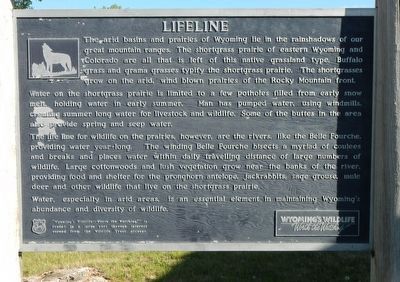
Lifeline
Photographed by Barry Swackhamer, June 6, 2016
1. Lifeline Marker
The arid basins and prairies of Wyoming lie in the rain shadow of our great mountain ranges. The shortgrass prairie of eastern Wyoming and Colorado are also that is left of this native grassland type. Buffalo grass and drama grasses typify the shortgrass prairie. The short grasses grow on the arid, wind blown prairies of the Rocky Mountains front.
Water on the shortgrass prairie is limited to a few potholes filled from early snow melt, holding water in early summer. Man has pumped water, using windmills creating summer long water for livestock and wildlife. Some to the buttes in the area also provide spring and seep water.
The life line for wildlife on the prairies, however, are the rivers, like the Belle Fourche, providing water year-long. The winding Bell Fourche bisects a myriad of coulees and breaks and places water within daily travel distances of large numbers of wildlife. Large cottonwoods and lush vegetation grow near the banks of the river, providing food and shelter for the pronghorn antelope, jackrabbits, sage grouse, mule deer and other wildlife that live on the shortgrass prairie.
Water, especially in
this page online
Erected by Wyoming Fish and Game Department.
Topics. This historical marker is listed in these topic lists: Natural Features • Waterways & Vessels.
Location. 44° 16.548′ N, 104° 58.434′ W. Marker is in Moorcroft, Wyoming, in Crook County. It is on Interstate 90 near U.S. 14. Touch for map. Marker is in this post office area: Moorcroft WY 82721, United States of America. Touch for directions.

Regionally, this marker is in Wyoming’s Powder River Basin. It is also in the American Mountain West, in the Black Hills, on the Great Plains, on the Northern Plains, and specifically on the High Plains. Globally, it is in North America, the Western Hemisphere, the Western World, and the Anglosphere. Historically, it finds itself in what was once the Louisiana Purchase.
Other nearby markers. At least one other marker is within walking distance of this marker: Texas Trail (within shouting distance of this marker).
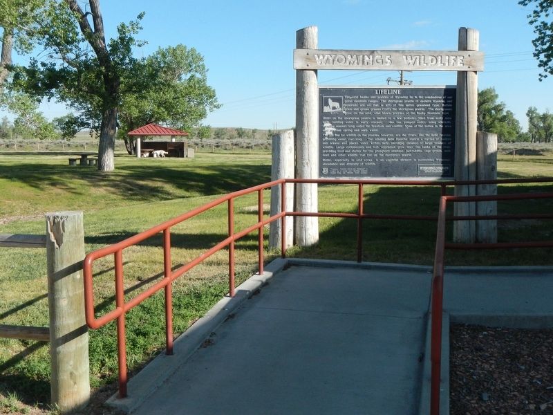
More about this marker. This marker is located at
Photographed by Barry Swackhamer, June 6, 2016
2. Lifeline Marker
Also see . . . Western Shortgrass Prairie. One Earth website entry (Submitted on December 3, 2022, by Larry Gertner of New York, New York.)
Credits. This page was last revised on December 3, 2022. It was originally submitted on September 20, 2016, by Barry Swackhamer of Brentwood, California. This page has been viewed 440 times since then and 21 times this year. Photos: 1, 2. submitted on September 20, 2016, by Barry Swackhamer of Brentwood, California.
