Lorton in Fairfax County, Virginia — The American South (Mid-Atlantic)
Delaying Tactics
Star-Spangled Banner National Historic Trail
| — | National Park Service, U.S. Department of the Interior | — |
Photographed by Don Morfe, September 14, 2016
1. Delaying Tactics Marker-Panel 1
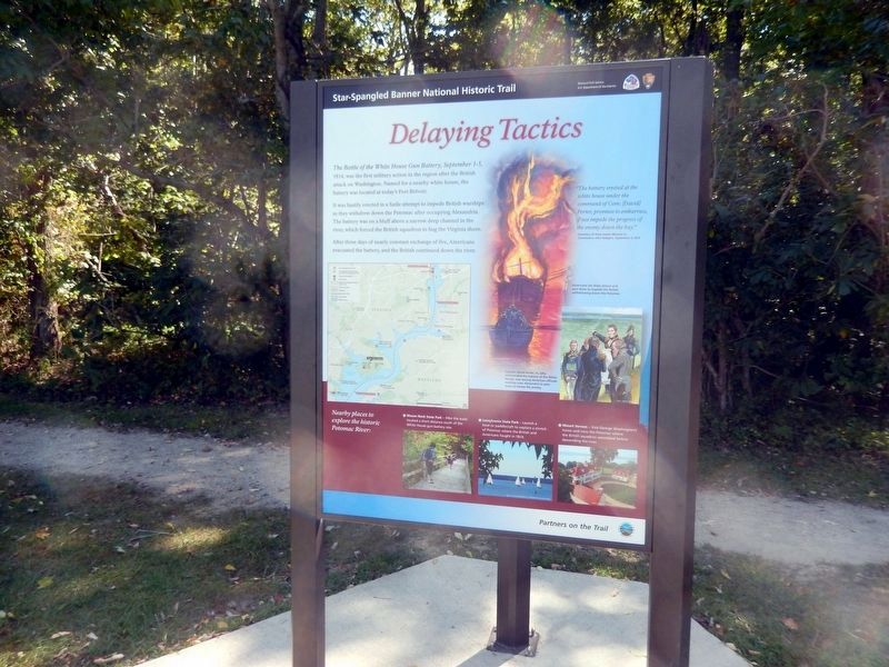
The Battle of the White House Gun Battery, September 1-5, 1814, was the first military action in the region after the British attack on Washington. Named for a nearby white house, the battery was located at today’s Fort Belvoir.
It was hastily erected in a futile attempt to impede the British warships as they withdrew down the Potomac after occupying Alexandria. The battery was on a bluff above a narrow deed channel in the river, which forced the British squadron to hug the Virginia shore.
After three days of nearly constant exchange of fire, Americans evacuated the battery, and the British continued down the river.
"The battery erected at the white house under the command of Com. (David) Porter, promises to embarrass, if not impede the progress of the enemy down the day”
–Secretary of the State James Monroe to Commodore John Rodgers, September 2, 1814
(captions)
Americans set ships ablaze and sent them to impede the British withdrawing down the Potomac.
Captain David Porter, Jr., who commanded the battery at the White House, was among American officials meeting near Alexandria to
this page online
(sidebar)
Nearby places to explore the historic Potomac River:
• Mason Neck State Park - Hike the trails located a short distance south of the White House gun battery site.
• Leesylvania State Park - Launch a boat or paddlecraft to explore a stretch of Potomac where the British and Americans fought in 1814.
• Mount Vernon - Visit George Washington’s home and view the Potomac where the British squadron assembled before descending the river.
(Panel 2)
War in the Chesapeake
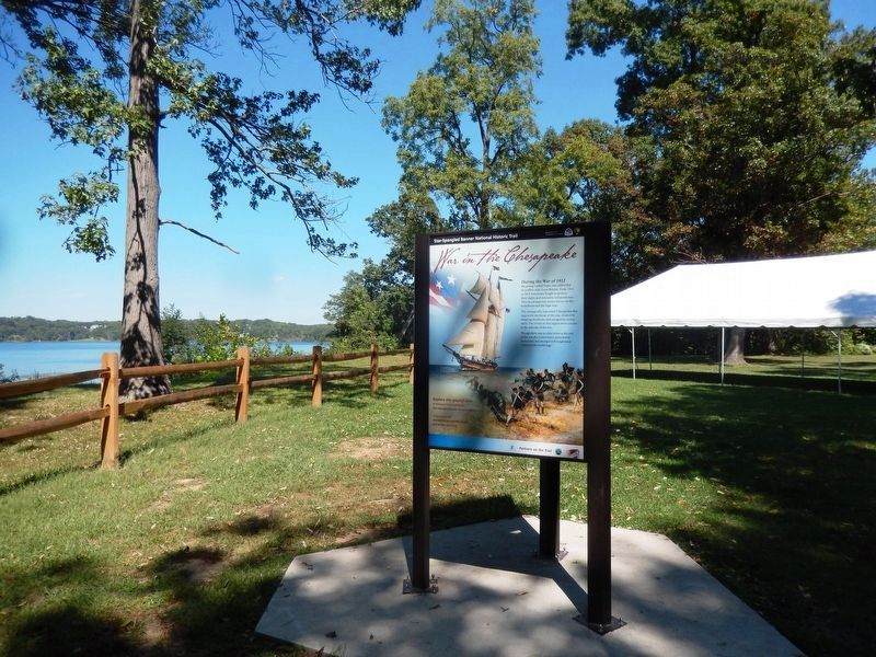
During the War of 1812 the young United States was embroiled in conflict with Great Britain. From 1812 to 1815 Americans fought to protect their rights and economic independence. They faced superior enemy forces on the homefront and the high seas.
The strategically important Chesapeake Bay region felt the brunt of the war, choked by shipping blockades and ravaged by enemy raids. The events in this region were crucial to the outcome of the war.
Though there was no clear victor at the end of the war, the United States protected its democracy and emerged with heightened stature on the world stage.
Explore this pivotal
Photographed by Don Morfe, September 14, 2016
2. War in the Chesapeake Marker-Panel 2
Erected 2013 by National Park Service, U.S. Department of the Interior.
Topics and series. This historical marker is listed in these topic lists: War of 1812 • Waterways & Vessels. In addition, it is included in the Former U.S. Presidents: #05 James Monroe, and the Star-Spangled Banner National Historic Trail series lists.
Location. 38° 38.546′ N, 77° 12.025′ W. Marker is in Lorton, Virginia, in Fairfax County. It can be reached from High Point Road 2.8 miles south of Gunston Road (Virginia Route 242/600), on the right when traveling south. The marker is located in Mason Neck State Park near the Picnic Area. Touch for map. Marker is at or near this postal address: 7301 High Point Road, Lorton VA 22079, United States of America. Touch for directions.

Regionally, this marker is in the Washington Metropolitan Area and in Northern Virginia. It is also in the American South, specifically in the Upper South, in the Mid-Atlantic, and on the Eastern Seaboard. Globally, it is in the North Atlantic
Photographed by Don Morfe, September 14, 2016
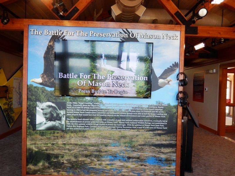
3. The Battle for the Preservation of Mason Neck
This marker is located inside the Visitor Center of Mason Neck State Park
Other nearby markers. At least 8 other markers are within 2 miles of this marker, measured as the crow flies: War in the Chesapeake (a few steps from this marker); Birds Then and Now (about 300 feet away, measured in a direct line); At Home in an Ecotone (about 300 feet away); "Spirit of America" (approx. 0.2 miles away); Vision, Initiative, and Dedication (approx. 0.2 miles away); The Nation's River (approx. 1.7 miles away); East Coast Radio Transmitting Station (approx. 1.9 miles away); Elizabeth Hartwell Mason Neck National Wildlife Refuge (approx. 2 miles away). Touch for a list and map of all markers in Lorton.
Also see . . . Mason Neck State Park. Virginia Department of Conservation and Recreation website entry (Submitted on September 26, 2016.)
Photographed by Don Morfe, September 14, 2016
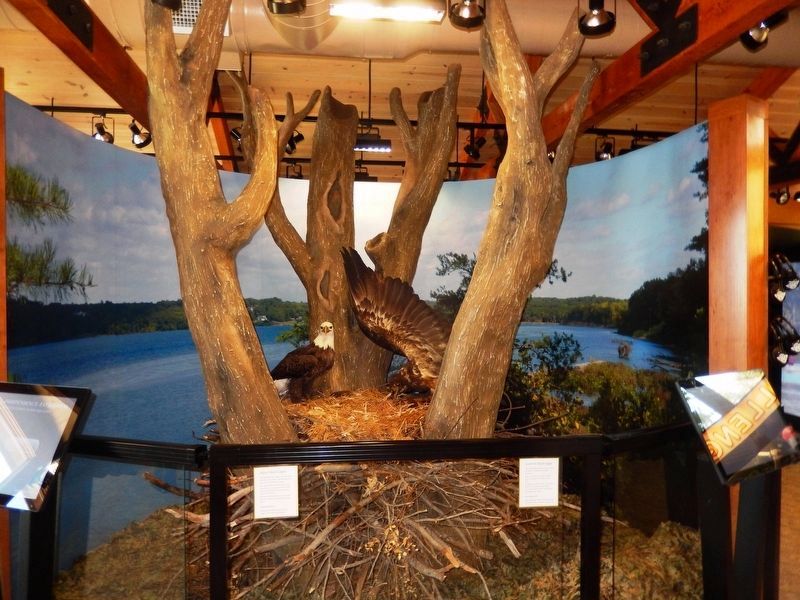
4. Bald Eagle Exhibit
This exhibit is located inside the Visitor Center of Mason Neck State Park.
Photographed by Don Morfe, February 28, 2015
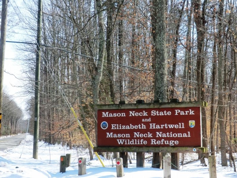
5. Sign at the entrance to Mason Neck State Park
Credits. This page was last revised on September 13, 2025. It was originally submitted on September 25, 2016, by Don Morfe of Baltimore, Maryland. This page has been viewed 539 times since then and 19 times this year. Photos: 1, 2, 3, 4, 5. submitted on September 25, 2016, by Don Morfe of Baltimore, Maryland. • Bernard Fisher was the editor who published this page.
