Huntsville in Madison County, Alabama — The American South (East South Central)
NASA / U.S. Geological Survey
Mobile Geological Laboratory
Inscription.
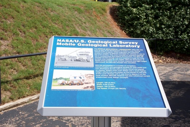
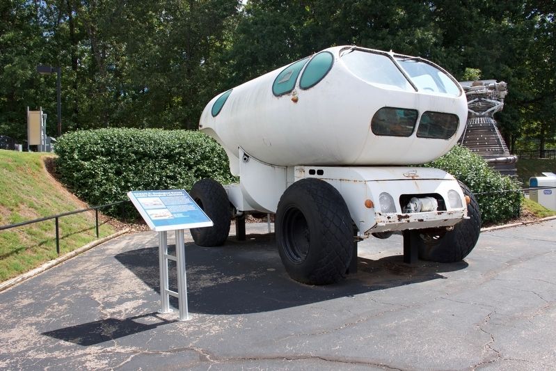
The Mobile Geological Laboratory (MOLAB) was built as part of the development of NASA's Lunar Roving Vehicle(LRV) program. NASA engineers and scientists studied a number of different concepts for vehicles to use on the lunar surface. This rover included an extensive geology lab in a pressurized shirt-sleeve environment. The MOLAB concept carried enough fuel and supplies to keep the lunar surface crew mobile for two weeks. With the elimination of Apollo long-duration lunar surface mission and tight weight restrictions the MOLAB concept was cancelled.
MOLAB participated in a number of navigation, communications and geological studies for both NASA and U. S. Geological Survey before being retired and placed on display. NASA's final rover design was a much lighter of the Lunar Module unit it was time to deploy it on the lunar surface. MOLAB research has also influenced current pressurized rover design concepts.
Length: 18ft (5.49m)
Width: 9.5ft (2.9m)
Height: 10ft (3.05m)
Top Speed 21mph (33.79kmh)
Topics. This historical marker is listed in these topic lists: Air & Space • Science & Medicine • War, Cold.
Location. 34° 42.622′ N, 86° 39.258′ W. Marker is in Huntsville, Alabama, in Madison County . Marker can be reached from Tranquiltiy Base, half a mile Madison Pike, on the left when traveling west. Touch for map. Marker is at or near this postal address: 1 Tranquility Base, Huntsville AL 35805, United States of America. Touch for directions.
Other nearby markers. At least 8 other markers are within walking distance of this marker. U.S. Army PGM-11 Redstone (here, next to this marker); U.S. Army/NASA Juno II (a few steps from this marker); U.S. Air Force SM-65 Atlas-F (a few steps from this marker); Pathfinder Orbiter (about 300 feet away, measured in a direct line); NASA Skylab (about 400 feet away); U.S. Army PGM-19 Jupiter (about 400 feet away); Cernan • Evans • Schmitt (about 500 feet away); Young • Mattingly • Duke (about 500 feet away). Touch for a list and map of all markers in Huntsville.
Also see . . . U.S. Space & Rocket Center. (Submitted on September 26, 2016.)
Credits. This page was last revised on August 16, 2020. It was originally submitted on September 26, 2016, by Sandra Hughes Tidwell of Killen, Alabama, USA. This page has been viewed 620 times since then and 48 times this year. Photos: 1, 2. submitted on September 26, 2016, by Sandra Hughes Tidwell of Killen, Alabama, USA. • Bernard Fisher was the editor who published this page.

