Working the Land
Captain John Smith Chesapeake National Historic Trail
| — | National Park Service, U.S. Department of the Interior | — |
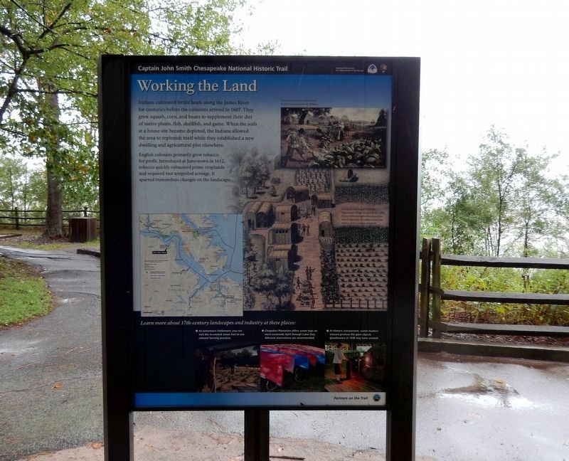
English colonists primarily grew tobacco for profit. Introduced at Jamestown in 1612, tobacco quickly exhausted prime croplands and required vast unspoiled acreage. It spurred tremendous changes on the landscape.
(Inscription above the image in the upper right)
European colonists learned here to grow tobacco from the Indians.
(Inscription above the image on the lower right)
A drawing of a Canadian Algoecquian village, by John White, 1585, home styles and agricultural practices varied regionally, but maize (corn) and tobacco were common products.
Learn more about 17th-century landscapes and industry at these places:
*Jamestown Settlement, you can visit the re-created James Fort to see colonial farming practices.
*Chippokes Plantation offers
this page online
*At Historic Jamestowne, watch modern artisans produce the glass objects glassblowers in 1608 may have created.
Erected by National Park Service, U.S. Department of the Interior.
Topics and series. This historical marker is listed in these topic lists: Colonial Era • Exploration • Indigenous Peoples and Communities • Settlements & Settlers. In addition, it is included in the Captain John Smith Chesapeake National Historic Trail series list. A significant historical year for this entry is 1607.
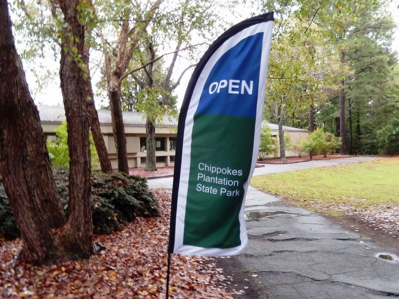
Location. 37° 8.765′ N, 76° 44.304′ W. Marker is in Surry, Virginia, in Surry County. It is on Chippokes Park Road. The marker is located in Chippokes Plantation State Park. Touch for map. Marker is at or near this postal address: 695 Chippokes Park Road (VA665), Surry VA 23883, United States of America. Touch for directions.

Regionally, this marker is in Coastal Virginia and in the Hampton Roads Metropolitan Area. It is also in the American South, specifically in the Upper South, in the Tidewater, and on the Eastern Seaboard. Globally,
Other nearby markers. At least 8 other markers are within walking distance of this marker: A Deep History (here, next to this marker); Community Life (a few steps from this marker); Eastern Virginia Indians (a few steps from this marker); Chippokes Plantation (approx. 0.7 miles away); The River House (approx. 0.7 miles away); Steam: The Great Connector (approx. ¾ mile away); A History of Silence (approx. 0.8 miles away); An Agricultural Legacy (approx. 0.9 miles away). Touch for a list and map of all markers in Surry.
Another marker is no longer nearby. Captain John Smith’s Adventures on the James (was here, next to this marker but has been permanently removed).
Credits. This page was last revised on June 14, 2020. It was originally submitted on September 26, 2016, by Don Morfe of Baltimore, Maryland. This page has been viewed 532 times since then and 18 times this year. Photos: 1, 2, 3, 4, 5. submitted on September 26, 2016, by Don Morfe of Baltimore, Maryland. • Bill Pfingsten was the editor who published this page.
