Garryowen in Big Horn County, Montana — The American West (Mountains)
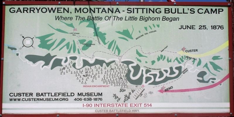
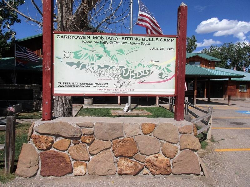
Garryowen, Montana - Sitting Bullís Camp
Topics. This memorial is listed in these topic lists: Native Americans • Wars, US Indian. A significant historical date for this entry is June 25, 1876.
Location. 45° 31.593′ N, 107° 25.012′ W. Marker is in Garryowen, Montana, in Big Horn County. Memorial is on Frontage Road (Interstate 90 at milepost 514), on the left when traveling south. Marker is in the front lawn of the Custer Battlefield Museum. Touch for map. Marker is in this post office area: Garryowen MT 59031, United States of America. Touch for directions.
Other nearby markers. At least 8 other markers are within 2 miles of this marker, measured as the crow flies. Tomb of the Unknown Soldier (here, next to this marker); a different marker also named Garryowen (a few steps from this marker); Weir Point (approx. 1.3 miles away); Weir Point Fight (approx. 1.3 miles away); Custer Last Seen (approx. 1.3 miles away); Sharpshooter Ridge (approx. 1.3 miles away); Medicine Tail Coulee (approx. 1.4 miles away); Medicine Tail Coulee Ford (approx. 1Ĺ miles away). Touch for a list and map of all markers in Garryowen.
Credits. This page was last revised on September 30, 2016. It was originally submitted on September 29, 2016, by Rev. Ronald Irick of West Liberty, Ohio. This page has been viewed 790 times since then and 57 times this year. Photos: 1, 2. submitted on September 29, 2016, by Rev. Ronald Irick of West Liberty, Ohio. • Bill Pfingsten was the editor who published this page.

