
Marker Logo
THE HISTORICAL
MARKER DATABASE
“Bite-Size Bits of Local, National, and Global History”
Near Wheatland in Platte County, Wyoming — The American West (Mountains)
 

Laramie Peak
 
 
Laramie Peak Marker image. Click for full size.
Photographed by Barry Swackhamer, June 9, 2016
1. Laramie Peak Marker
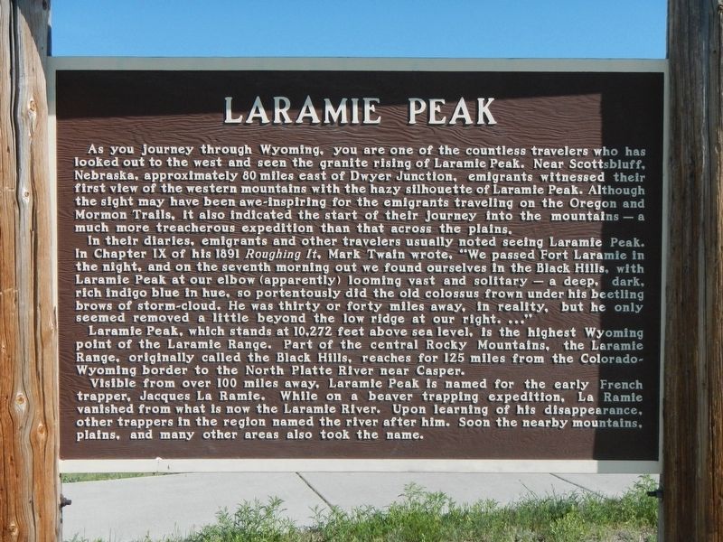
Inscription. As you journey through Wyoming, you are one of the countless travelers who has looked out to the west and seen the granite rising of Laramie Peak. Near Scottsbluff, Nebraska, approximately 80 miles east of Dwyer Junction, emigrants witnessed their first view of the western mountains with the hazy silhouette of Laramie Peak. Although the sight may have been awe-inspiring for the emigrants traveling on the Oregon and Mormon Trails, it also indicated the start of their journey into the mountains – a much more treacherous expedition than that across the plains. In their diaries, emigrants and other travelers usually noted seeing Laramie Peak. In Chapter IX of his 1891 Roughing It, Mark Twain wrote, “We passed Fort Laramie in the night, and on the seventh morning out we found ourselves in the Black Hills, with Laramie Peak at our elbow (apparently) looming vast and solitary – a deep, dark, rich indigo blue in hue, so portentously did the old colossus frown under his beetling brows of storm-cloud. He was thirty or forty miles away, in reality, but he only seemed removed a little beyond the low ridge at our right.
Paid Advertisement
Click or scan to see
this page online
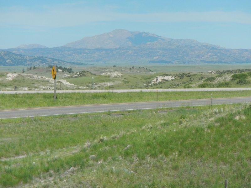
…” Laramie Peak, which stands at 10,272 feet above sea level, is the highest Wyoming point of the Laramie Range. Part of the central Rocky Mountains, the Laramie Range, originally called the Black Hills, reaches for 125 miles from the Colorado-Wyoming border to the North Platte River near Casper. Visible from over 100 miles away, Laramie Peak is named for the early French trapper, Jacques La Ramie. While on a beaver trapping expedition, La Ramie vanished from what is now the Laramie River. Upon learning of his disappearance, other trappers in the region named the river after him. Soon the nearby mountains, plains, and many other areas also took the name.
 
Erected by Wyoming State Historic Preservation Office.
 
Topics and series. This historical marker is listed in these topic lists: Natural FeaturesRoads & Vehicles. In addition, it is included in the Oregon Trail series list.
 
Location. 42° 14.01′ N, 105° 1.338′ W. Marker is near Wheatland, Wyoming, in Platte County. It can be reached from the intersection of U.S. 26 and Interstate 25, on the right when traveling west.
Laramie Peak, Kiosk and Marker image. Click for full size.
Photographed by Barry Swackhamer, June 9, 2016
2. Laramie Peak, Kiosk and Marker

Touch for map. Marker is in this post office area: Wheatland WY 82201, United States of America. Touch for directions.

Regionally, this marker is in Wyoming’s Laramie Basin and in the Westward Expansion Trails Region. It is also in the American Mountain West, on the Great Plains, and specifically on the High Plains. Globally, it is in North America, the Western Hemisphere, the Western World, and the Anglosphere. Historically, it finds itself in what was once the Louisiana Purchase.

Other nearby markers. At least 8 other markers are within 10 miles of this marker, measured as the crow flies: Open Spaces Sustained by Agriculture (about 500 feet away, measured in a direct line); Empire, an African American Homesteader Community (about 700 feet away); Wildlife Diversity (about 800 feet away); No Greater Love (about 800 feet away); Jacques La Ramie (approx. 8.4 miles away); Firewood & Cool Water (approx. 8.8 miles away); Oregon Trail (approx. 8.8 miles away); a different marker also named Oregon Trail (approx. 10.1 miles away). Touch for a list and map of all markers in Wheatland.
 
More about this marker. This marker
Laramie Peak image. Click for full size.
Photographed by Barry Swackhamer, June 9, 2016
3. Laramie Peak
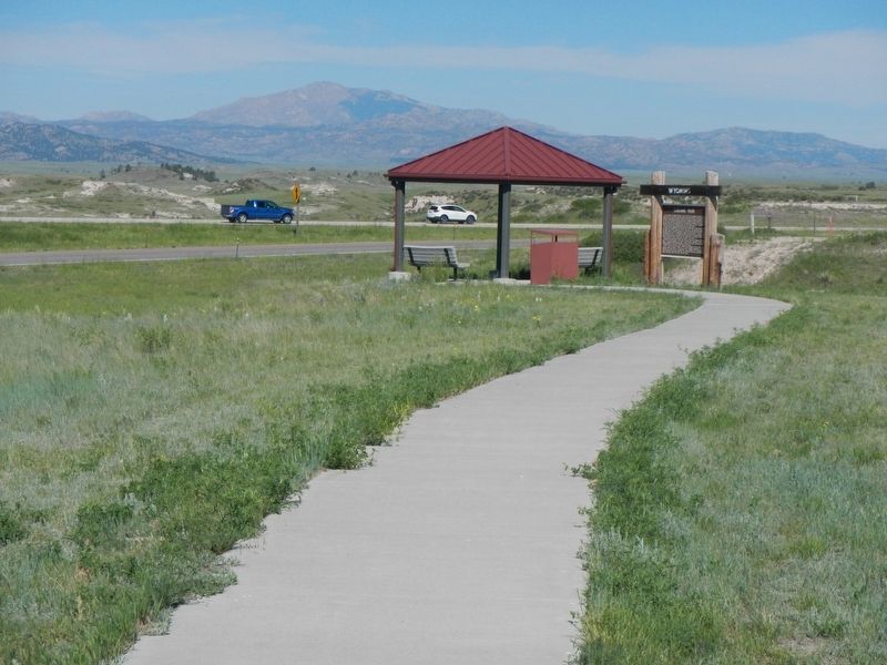
is located at a kiosk, at the end of a pathway, west of the Dwyer Junction Rest Area.
 
 
Credits. This page was last revised on October 3, 2016. It was originally submitted on October 3, 2016, by Barry Swackhamer of Brentwood, California. This page has been viewed 922 times since then and 57 times this year. Photos:   1, 2, 3. submitted on October 3, 2016, by Barry Swackhamer of Brentwood, California.

m=98380

CeraNet Cloud Computing sponsors the Historical Marker Database.
This website earns income from purchases you make after using our links to Amazon.com. We appreciate your support.
Paid Advertisement
Sep. 10, 2026