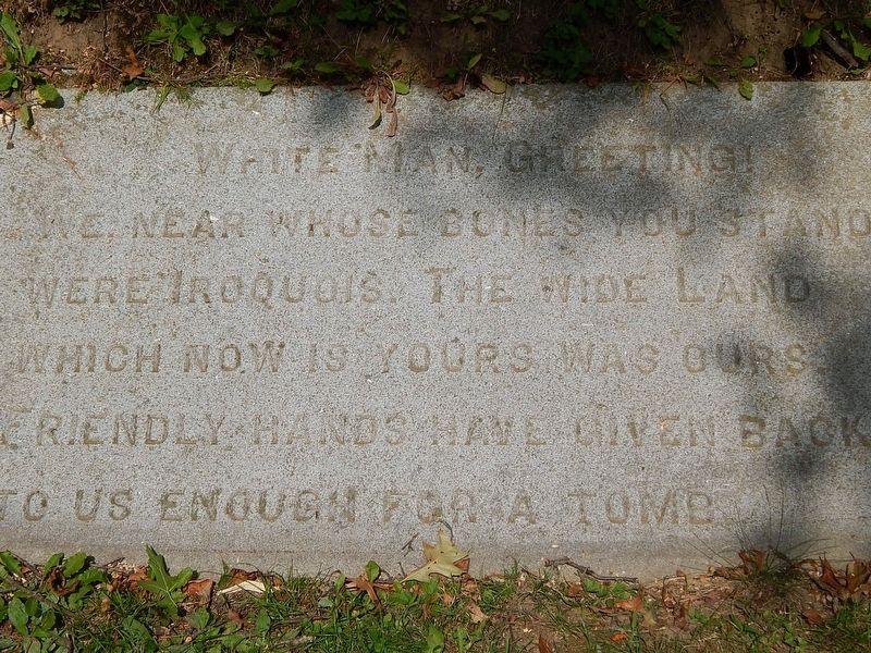
Cooperstown in Otsego County, New York — The American Northeast (Mid-Atlantic)
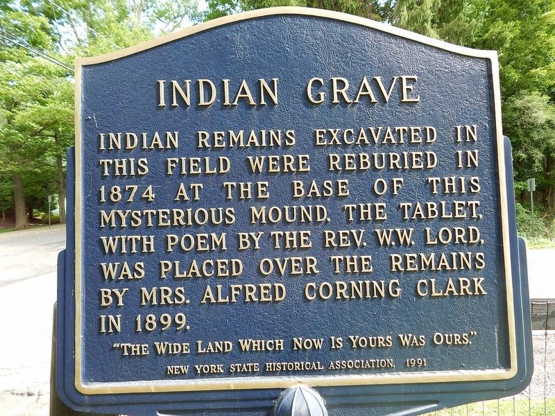
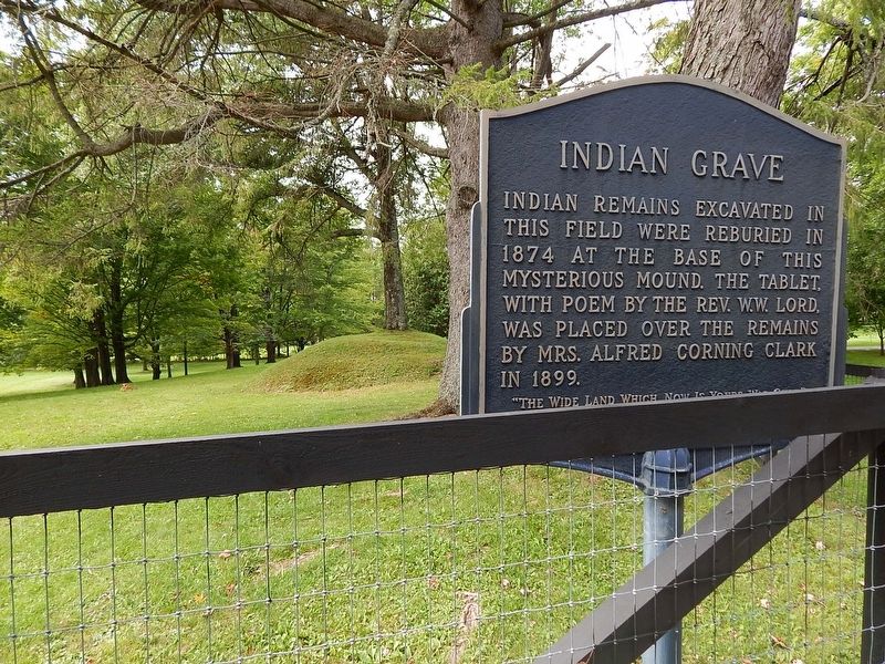
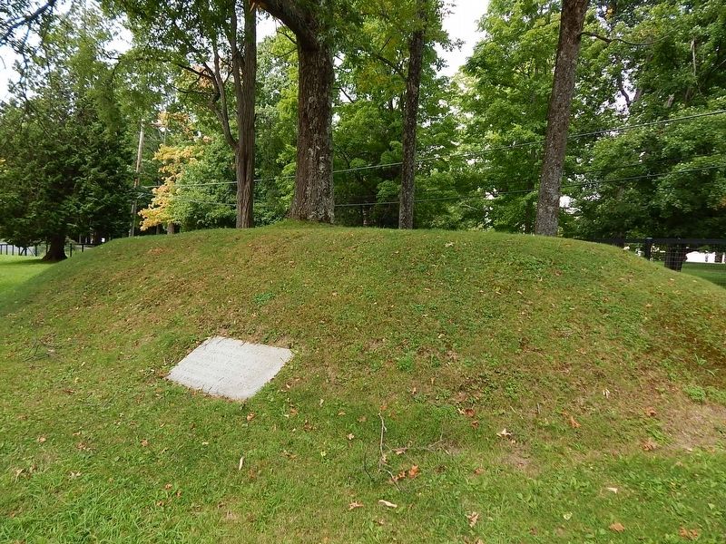
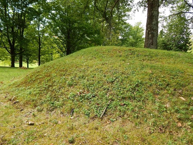
Indian Grave
Erected 1991 by New York State Historical Association.
Topics. This historical marker is listed in these topic lists: Cemeteries & Burial Sites • Native Americans. A significant historical year for this entry is 1874.
Location. 42° 41.944′ N, 74° 55.067′ W. Marker is in Cooperstown, New York, in Otsego County. Marker is at the intersection of Main Street and County Route 31 on Main Street. Touch for map. Marker is in this post office area: Cooperstown NY 13326, United States of America. Touch for directions.
Other nearby markers. At least 8 other markers are within walking distance of this marker. General Clinton's Dam (approx. 0.2 miles away); Pomeroy Place (approx. 0.2 miles away); Clinton's Dam (approx. 0.2 miles away); Council Rock (approx. 0.2 miles away); George Croghan (approx. ¼ mile away); Otsego Hall (approx. ¼ mile away); Fair Street (approx. ¼ mile away); Site of the First National Baseball Hall of Fame Induction (approx. ¼ mile away). Touch for a list and map of all markers in Cooperstown.
Credits. This page was last revised on October 5, 2016. It was originally submitted on October 4, 2016, by Scott J. Payne of Deposit, New York. This page has been viewed 883 times since then and 74 times this year. Photos: 1, 2, 3, 4, 5. submitted on October 4, 2016, by Scott J. Payne of Deposit, New York. • Bill Pfingsten was the editor who published this page.
