Atotonilco in San Miguel de Allende, Guanajuato, Mexico — The Central Highlands (North America)
The Parish of Atotonilco and Miguel Hidalgo
Photographed by J. Makali Bruton, October 1, 2016
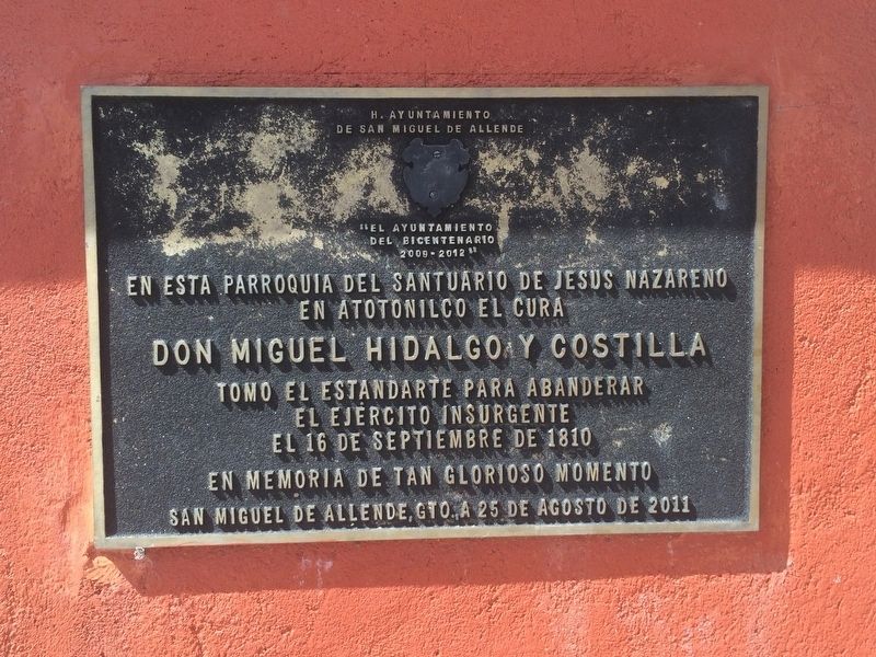
1. The Parish of Atotonilco and Miguel Hidalgo Marker
"El Ayuntamiento del Bicentario 2009-2012"
En esta Parroquia del Santuario de Jesus Nazareno
en Atotonilco el cura
Don Miguel Hidalgo y Costilla
tomo el estandarte para abanderar
el ejercito insurgente
el 16 de septiembre de 1810
en memoria de tan glorioso momento
San Miguel de Allende, Gto., a 25 de agosto de 2011
English translation:
The Honorable Municipality of San Miguel de Allende
"The Municipality of the Bicentennial 2009-2012"
From this Parish of the Sanctuary of Jesus the Nazarene
in Atotonilco, the priest
Miguel Hidalgo y Costilla
took the banner to lead the insurgent army
on September 16, 1810.
In memory of this glorious moment,
San Miguel de Allende, Guanajuato, August 25, 2011
Erected 2011 by Ayuntamiento de San Miguel de Allende.
Topics. This memorial is listed in these topic lists: Colonial Era • Patriots & Patriotism • Religion & Religious Structures • Wars, Non-US. A significant historical year for this entry is 1810.
Location. 21° 0.274′ N, 100° 47.661′ W. Memorial is in Atotonilco, Guanajuato, in San Miguel de Allende. It is on Calle Principal, on the right when
this page online

Regionally, this memorial is in Central Mexico and in the Bajío. Globally, it is in North America, on the Ring of Fire, and in the Western Hemisphere. Historically, it finds itself in what was once New Spain, a Spanish colony, and the Aztec Empire.
Other nearby markers. At least 8 other markers are within 11 kilometers of this marker, measured as the crow flies: The Banner of Atotonilco (here, next to this marker); The Marriage of Ignacio Allende and Maria de las Fuentes (here, next to this marker); Sanctuary of Jesus Nazarene of Atotonilco UNESCO World Heritage Site (within shouting distance of this marker); Félix Luna Romero (approx. 10.8 kilometers away); Captain Juan Aldama y González (approx. 11 kilometers away); The Francisco I. Madero Fountain (approx. 11.2 kilometers away); The Heroes' Bridge (approx. 11.2 kilometers away); Tribute to the Battle of Puebla (approx. 11.2 kilometers away). Touch for a list and map
Photographed by J. Makali Bruton, October 1, 2016
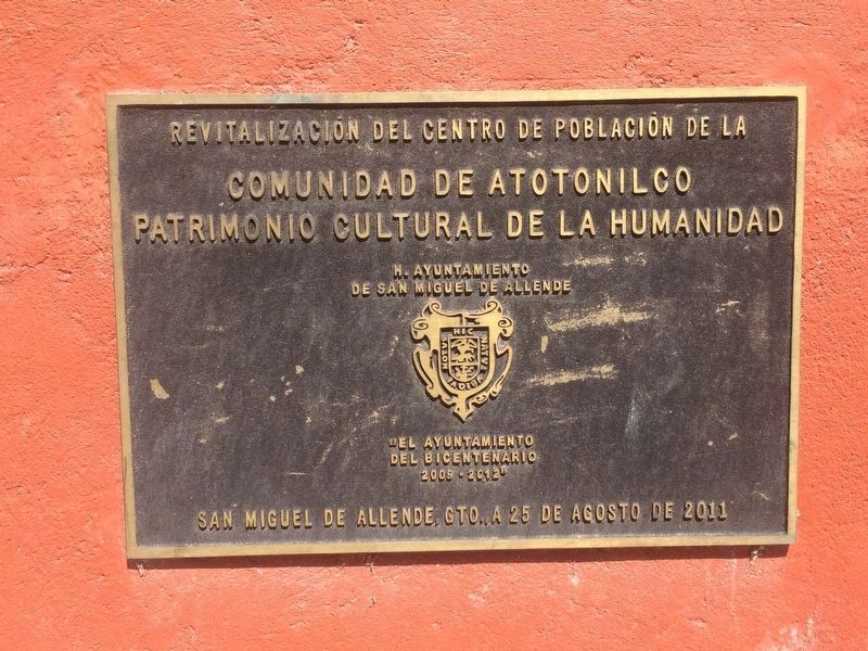
2. The Parish of Atotonilco additional marker
This additional marker on the statue's base commemorates the revitalization of the Atotonilco community center in August 25, 2011.
Another marker is no longer nearby. Barrio de San Juan de Dios (was approx. 11 kilometers away but has been confirmed missing).
Photographed by J. Makali Bruton, October 1, 2016
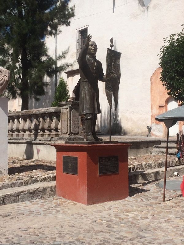
3. The Parish of Atotonilco and Miguel Hidalgo Marker
The markers are on a base under a statue of Miguel Hidalgo holding the banner taken from the Sanctuary of Atotonilco.
Photographed by J. Makali Bruton, February 25, 2019
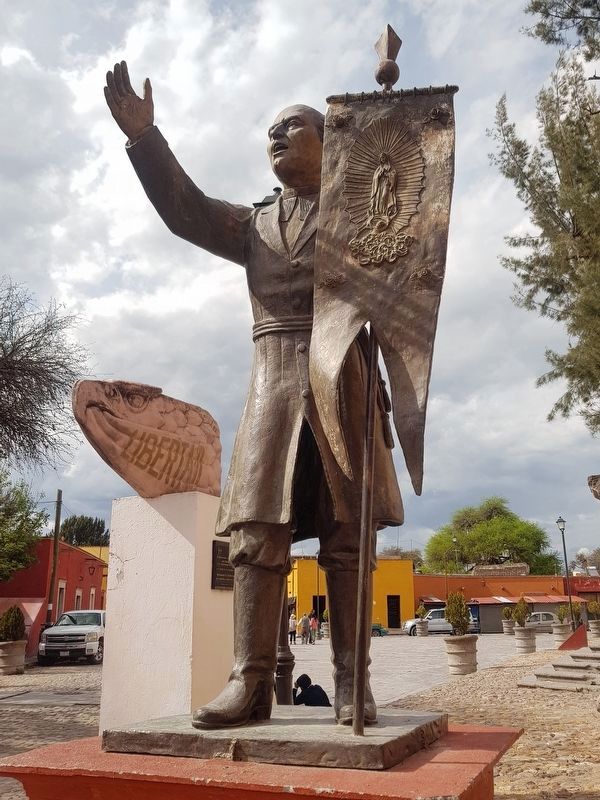
4. Miguel Hidalgo statue
Note the "Route of Hidalgo" monument behind the statue.
Credits. This page was last revised on September 1, 2020. It was originally submitted on October 4, 2016, by J. Makali Bruton of Washington, District of Columbia. This page has been viewed 470 times since then and 32 times this year. Photos: 1, 2, 3. submitted on October 4, 2016, by J. Makali Bruton of Washington, District of Columbia. 4. submitted on March 30, 2019, by J. Makali Bruton of Washington, District of Columbia.
