Kiptopeke in Northampton County, Virginia — The American South (Mid-Atlantic)
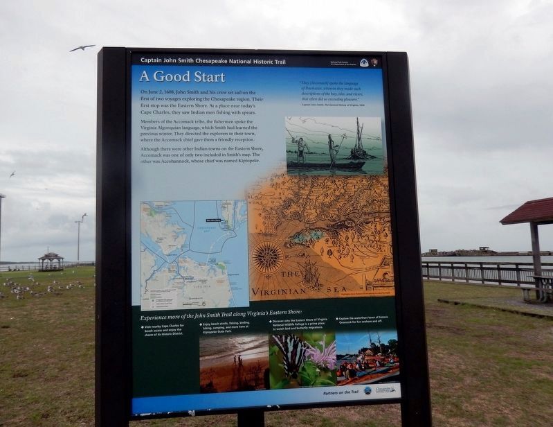
A Good Start
Captain John Smith Chesapeake National Historic Trail
| — | National Park Service, U.S. Department of the Interior | — |
Photographed by Don Morfe, September 21, 2016
1. A Good Start Marker-Panel 1
On June 2, 1608, John Smith and his crew set sail on the first of two voyages exploring the Chesapeake region. Their first stop was the Eastern Shore. At a place near today’s Cape Charles, they saw Indian men fishing with spears.
Members of the Accomack tribe, the fishermen spoke the Virginia Algonquian language, which Smith had learned the previous winter. They directed the explorers to their own town, where the Accomack chief gave them a friendly reception.
Although there were other Indian towns on the Eastern Shore, Accomack was one of only two included in Smith’s map. The other was Accohannock, whose chief was named Kiptopeke.
“They (Accomack) spoke the language of Powhatan, wherein they made such descriptions of the bays, isles, and rivers, that often did us exceeding pleasure.”
–Captain John Smith, The General History of Virginia, 1624
[Sidebar:]
Experience more of the John Smith Trail along Virginia’s Eastern Shore:
• Visit nearby Cape Charles for beach access and enjoy the charm of its Historic District.
• Enjoy beach strolls, fishing, birding, hiking, camping, and more here at Kiptopeke State Park.
• Discover why the Eastern Shore of Virginia National Wildlife Refuge is a prime place to watch bird and butterfly migrations.
• Explore the waterfront town of historic Onancock for fun onshore and off.
Erected by National
this page online
Topics and series. This historical marker is listed in these topic lists: Colonial Era • Exploration • Indigenous Peoples and Communities • Settlements & Settlers. In addition, it is included in the Captain John Smith Chesapeake National Historic Trail series list. A significant historical date for this entry is June 2, 1608.
Location. 37° 9.998′ N, 75° 59.333′ W. Marker is in Kiptopeke, Virginia, in Northampton County. It is on Kiptopeke Drive (County Route 704) 1.4 miles west of Lankdorf Highway (U.S. 13). The marker is located on the fishing pier at Keptopeke State Park. Touch for map. Marker is at or near this postal address: 3540 Kiptopeke Drive, Cape Charles VA 23310, United States of America. Touch for directions.

Regionally, this marker is on the Eastern Shore. It is also in the American South, specifically in the Upper South, on the Delmarva Peninsula, in the Tidewater, and on the Eastern Seaboard. Globally, it is in the North Atlantic Region, North America, the Western Hemisphere, the Western World, and the Anglosphere. Historically, it finds itself in what
Photographed by Don Morfe, September 21, 2016
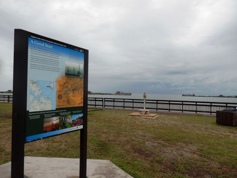
2. A Good Start Marker-The Chesapeake Bay in the background
Other nearby markers. At least 8 other markers are within 3 miles of this marker, measured as the crow flies: Concrete Ships (here, next to this marker); Join the Adventure (here, next to this marker); John Smith Explores the Chesapeake (here, next to this marker); The Dunes (about 700 feet away, measured in a direct line); Chesapeake Bay (about 700 feet away); Farm to Market (about 700 feet away); Maritime Highway (about 700 feet away); Local Patriots (approx. 2.7 miles away). Touch for a list and map of all markers in Kiptopeke.
Photographed by Don Morfe, September 21, 2016
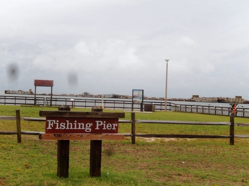
3. Fishing Pier sign-A Good Start Marker is in the far background
Photographed by Don Morfe, September 21, 2016
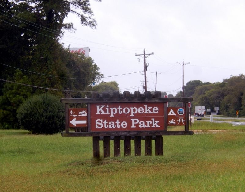
4. Sign at the entrance to Kiptopeke State Park
Credits. This page was last revised on June 7, 2026. It was originally submitted on October 8, 2016, by Don Morfe of Baltimore, Maryland. This page has been viewed 810 times since then and 32 times this year. Photos: 1, 2, 3, 4. submitted on October 8, 2016, by Don Morfe of Baltimore, Maryland. • Bernard Fisher was the editor who published this page.
