Fort Collins in Larimer County, Colorado — The American Mountains (Southwest)
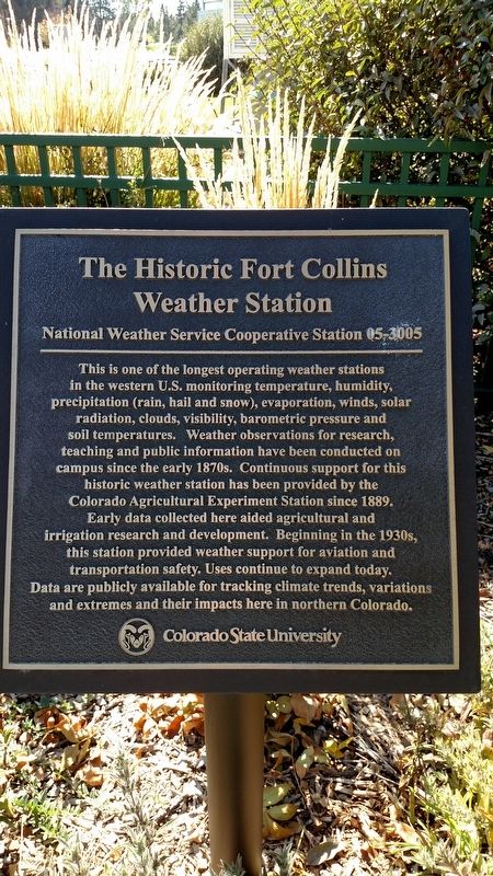
The Historic Fort Collins Weather Station
National Weather Service Cooperative Station 05-3005
Inscription.
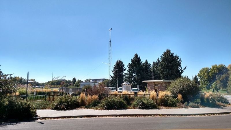
This is one of the longest operating weather stations in the western U.S. monitoring temperature, humidity, precipitation (rain, hail and snow), evaporation, winds, solar radiation, clouds, visibility, barometric pressure and soil temperatures. Weather observations for research, teaching and public information have been conducted on campus since the early 1870s. Continuous support for this historic weather station has been provided by the Colorado Agricultural Experiment Station since 1889. Early data collected here aided agricultural and irrigation research and development. Beginning in the late 1930s, this station provided weather support for aviation and transportation safety. Uses continue to expand today. Data are publicly available for tracking climate trends, variations and extremes and their impacts here in northern Colorado.
Erected by Colorado State University.
Topics. This historical marker is listed in these topic lists: Education • Environment • Science & Medicine. A significant historical year for this entry is 1889.
Location. 40° 34.582′ N, 105° 5.158′ W. Marker is in Fort Collins, Colorado, in Larimer County. Marker can be reached from North Drive, 0.1 miles east of Meridian Avenue. Touch for map. Marker is in this post office area: Fort Collins CO 80523, United States of America. Touch for directions.
Other nearby markers. At least 8 other markers are within walking distance of this marker. The Parshall Measuring Flume (about 600 feet away, measured in a direct line); Elwood Mead (approx. 0.2 miles away); Donated Land for the Agricultural College (approx. 0.4 miles away); The William C. Stover House (approx. 0.6 miles away); Antoine Janis Cabin (approx. 0.8 miles away); Auntie Stone Cabin (approx. 0.9 miles away); Carnegie Library (approx. 0.9 miles away); Blunck House (approx. 0.9 miles away). Touch for a list and map of all markers in Fort Collins.
Credits. This page was last revised on October 9, 2016. It was originally submitted on October 9, 2016, by Mike Wintermantel of Pittsburgh, Pennsylvania. This page has been viewed 548 times since then and 19 times this year. Photos: 1, 2. submitted on October 9, 2016, by Mike Wintermantel of Pittsburgh, Pennsylvania.

