Kiptopeke in Northampton County, Virginia — The American South (Mid-Atlantic)
The Dunes
Kiptopeke State Park
Photographed by Don Morfe, September 21, 2016
1. The Dunes Marker
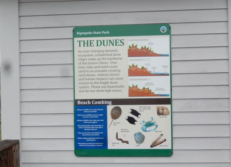
An ever-changing dynamic ecosystem, established dune ridges make up the backbone of the Eastern Shore. Over time, tides and wind cause sand to accumulate creating sand dunes. Intense storms and human impacts can cause erosion to the fragile dune system. Please used boardwalks and do not climb high dunes.
(caption)
(upper right) Normal beach shape, calm conditions; Beach erosion during a storm; Beach and dune repair after storm.
Beach Combing
• Observe wildlife in its natural habitat whenever possible
• Release any wildlife you have caught for closer observation
• Release wildlife in the same exact spot where you caught it
• Take photographs, make drawings, or write in a journal rather than take a specimen with you
• Clean up any litter and volunteer for beach clean-up activities
• Follow fishing regulations and license requirements
• Remember, permits are required for collection of any plants or animals.
Topics. This historical marker is listed in these topic lists: Environment • Waterways & Vessels.
Location. 37° 10.055′ N, 75° 59.208′ W. Marker is in
this page online

Regionally, this marker is on the Eastern Shore. It is also in the American South, specifically in the Upper South, on the Delmarva Peninsula, in the Tidewater, and on the Eastern Seaboard. Globally, it is in the North Atlantic Region, North America, the Western Hemisphere, the Western World, and the Anglosphere. Historically, it finds itself in what was once the territory of the Mississippian Culture, one of the original Thirteen Colonies, one of the Confederate States of America, and the Antebellum South.
Other nearby markers. At least 8 other markers are within 3 miles of this marker, measured as the crow flies: Chesapeake Bay (here, next to this marker); Farm to Market (here, next to this marker); Maritime Highway (a few steps from this marker); A Good Start (about 700 feet away, measured in a direct line); Concrete Ships (about 700 feet away);
Photographed by Don Morfe, September 21, 2016
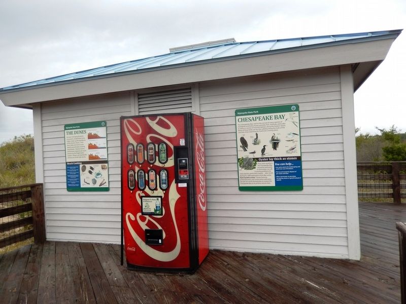
2. The Dunes Marker
Photographed by Don Morfe, September 21, 2016
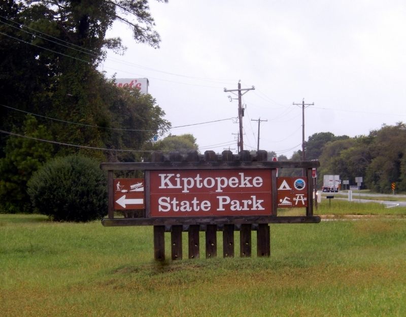
3. Kiptopeke State Park
Virginia Department of Conservation and Recreation website entry
Click for more information.
Click for more information.
Credits. This page was last revised on June 7, 2026. It was originally submitted on October 12, 2016, by Don Morfe of Baltimore, Maryland. This page has been viewed 491 times since then and 29 times this year. Photos: 1, 2, 3. submitted on October 12, 2016, by Don Morfe of Baltimore, Maryland. • Bernard Fisher was the editor who published this page.
