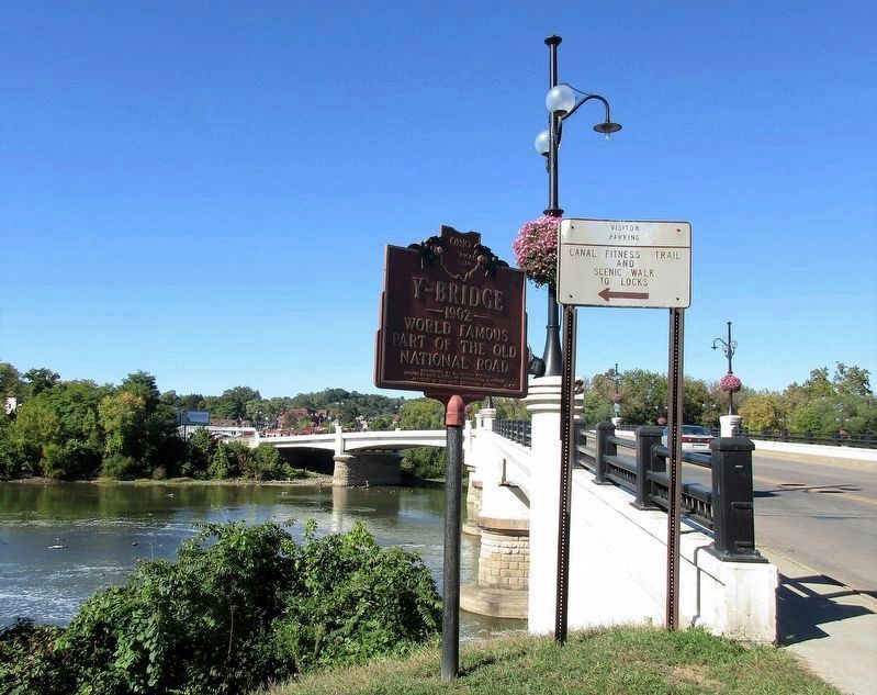
Y-Bridge
The Historic National Road in Ohio
— A Unique Landmark —
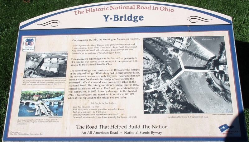
“Muskingum and Licking Bridge, This grand and important work is now possible. Great credit is due to Mr. Rufus Scott, the architect. Now the south and north sides of Licking Creek were joined with Zanesville on the east side of the Muskingum River.”
This uncovered toll bridge was the first of five generations of Y-bridges that served as an important transportation link unique to the National Road in Ohio.
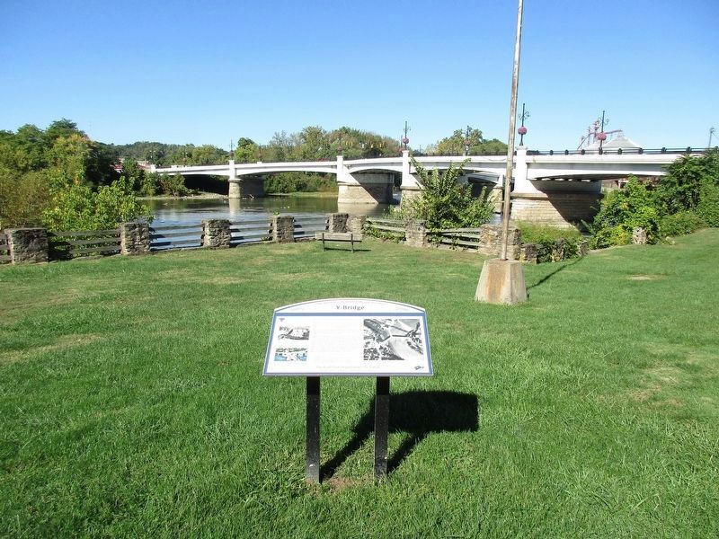
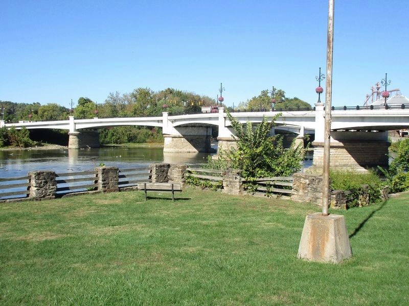
The second bridge was constructed in 1819 after the collapse of the original bridge. While designed to carry greater loads, the new structure survived only 13 years. Wear and damage from a winter flood made the bridge unsafe to carry the increased traffic that would pour across Ohio on the National Road. The third generation Y-bridge, built in 1832, carried travelers for 68 years. The fourth generation bridge was constructed in 1902. Heavily damaged in the flood of 1913, it was repaired and remained in service until 1979, when it was replaced by the bridge you see today.
Toll fees for the first bridge – Each foot passenger ~ 3 cents Each horse, mule, or ass one year old or upwards~ 4 cents Each horse and rider~ 12 & ½ cents Each sleigh or sled drawn by two horses or oxen~ 25 cents Each coach with four wheels
and driver, drawn by four horses ~ 75 centsErected 2011 by The Ohio National Road Association, Inc.
Topics and series. This historical marker is listed in these topic lists: Architecture • Bridges & Viaducts • Roads & Vehicles • Waterways & Vessels. In addition, it is included in the The Historic National Road series list. A significant historical date for this entry is November 16, 1814.
Location. 39° 56.389′ N, 82° 0.754′ W. Marker is in Zanesville, Ohio, in Muskingum County. Marker is on Old National Road (U.S. 40), on the left when traveling west. Marker is in a small island park area, at the junction of the Muskingum and Licking Rivers, between the canal and the main channel. Touch for map. Marker is at or near this postal address: 12 West Main Street, Zanesville OH 43701, United States of America. Touch for directions.
Other nearby markers. At least 8 other markers are within walking distance of this marker. A different marker also named Y-Bridge (within shouting distance of this marker); a different marker also named Y-Bridge (approx. 0.2 miles away); American Legion Post #29 Veterans Memorial (approx. 0.2 miles away); The Bicentennial Legacy Monument (approx. 0.2 miles away); Muskingum County Vietnam War Memorial (approx. 0.2 miles away); Muskingum County Iraqi Conflicts Memorial (approx. 0.2 miles away); Muskingum County Medal of Honor Memorial (approx. 0.2 miles away); Three Muskingum County Courthouses (approx. ¼ mile away). Touch for a list and map of all markers in Zanesville.
Additional keywords. Old National Road
Credits. This page was last revised on October 23, 2016. It was originally submitted on October 22, 2016, by Rev. Ronald Irick of West Liberty, Ohio. This page has been viewed 800 times since then and 52 times this year. Photos: 1, 2, 3, 4, 5. submitted on October 22, 2016, by Rev. Ronald Irick of West Liberty, Ohio. • Bill Pfingsten was the editor who published this page.
