Melchor de Mencos, Petén, Guatemala — Central America
The Quarry Causeway
(Lincoln Causeway)
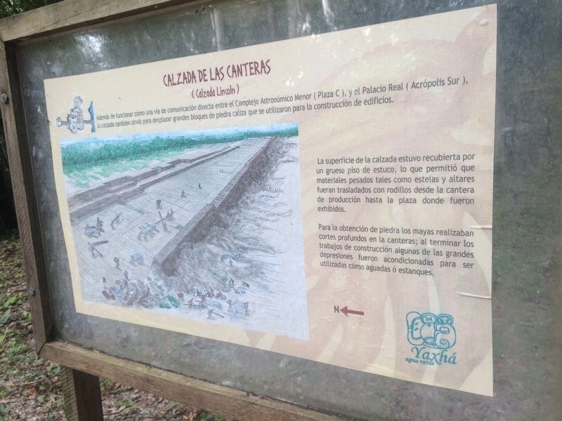
Calzada de las Canteras
(Calzada Lincoln)
Además de funcionar cómo un vía de comunicación directa entre el Complejo Astronómico Menor (Plaza C), y el Palacio Real (Acrópolis Sur), la calzada también sirvió para desplazar grandes bloques de piedra caliza que se utilizaron para la construcción de edificios.
La superficie de la calzada estuvo recubierta por un grueso piso de estuco, lo que permitió que materiales pesados tales como estelas y altares fueran trasladadas con rodillos desde la cantera de producción hasta la plaza donde fueron exhibidos.
Para la obtención de piedra los mayas realizaban cortes profundos en la cantera; al terminar los trabajos de construcción algunas de las grandes depresiones fueron acondicionadas para ser utilizadas cómo aguadas ó estanques.
In addition to functioning as the most direct form of communication between the Minor Astronomical Complex (Plaza C), and the Royal Palace (South Acropolis), the road also served to move large blocks of limestone which were used for building construction.
The road surface was covered with a thick plaster floor, which allowed heavy materials such as stela and altars to be moved with rollers from the quarry to the plaza where they were exhibited.
To obtain construction stone, the Maya made deep cuts in the quarry; at the end of the construction work some major depressions were converted to use as water storage or ponds.
Topics. This historical marker is listed in these topic lists: Anthropology & Archaeology • Architecture • Man-Made Features • Native Americans.
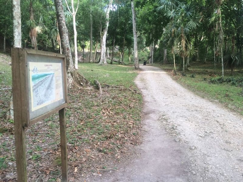
Location. 17° 4.311′ N, 89° 24.028′ W. Marker is in Melchor de Mencos, Petén. The marker is along the "Lincoln Causeway" of the Yaxhá Archaeological Park entrance. The park is some 5 kilometers north of the village of El Zapote, turning from the CA13 road. Touch for map. Marker is in this post office area: Melchor de Mencos, Petén 17011, Guatemala. Touch for directions.
Other nearby markers. At least 8 other markers are within walking distance of this marker. Plaza of the Columns (about 150 meters away, measured in a direct line); East Causeway Residential Zone (about 180 meters away); Minor Astronomical Complex at Yaxhá (about 180 meters away); Intersection of the Eastern and Quarry Causeways (about 180 meters away); Yaxhá (about 180 meters away); The Eastern Acropolis of Yaxhá (about 210 meters away);
Sacrificial Pyramid (approx. 0.3 kilometers away); The Palace's Ballgame (approx. 0.3 kilometers away). Touch for a list and map of all markers in Melchor de Mencos.
Credits. This page was last revised on March 2, 2018. It was originally submitted on October 26, 2016, by J. Makali Bruton of Accra, Ghana. This page has been viewed 226 times since then and 5 times this year. Photos: 1, 2. submitted on October 26, 2016, by J. Makali Bruton of Accra, Ghana.

