Kenner in Jefferson Parish, Louisiana — The American South (West South Central)
Lake Pontchartrain Basin
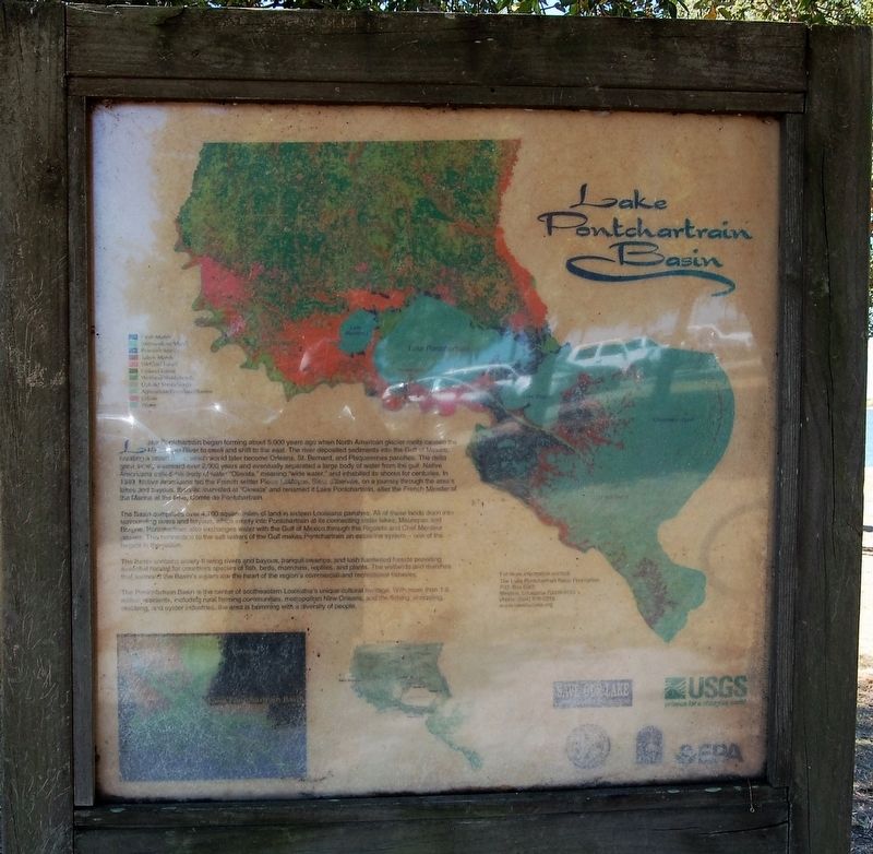
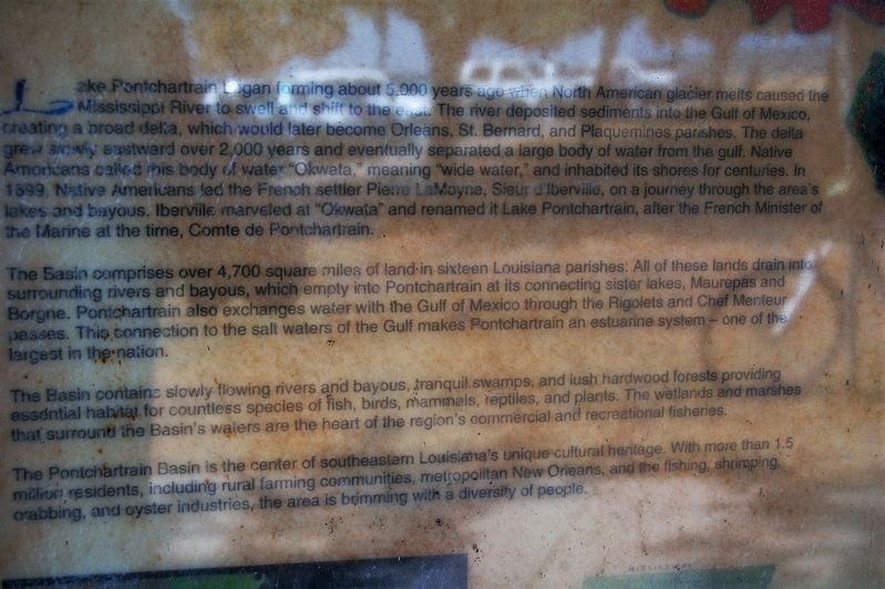
Lake Pontchartrain began forming about 5,000 years ago when North America glacier melts caused the Mississippi River to swell and shift to the east. The river deposited sediments into the Gulf of Mexico, creating a broad delta, which would later become Orleans, St. Bernard and Plaquemines parishes. The delta grew slowly eastward over 2,000 years and eventually separated a large body of water from the gulf. Native Americans called this body of water "Okwata" meaning "wide water," and inhabited its shores for centuries. In 1599, Native Americans led French settler Pierre LaMoyne, Sieur d'Iberville, on a journey through the area's lakes and bayous. Iberville marveled at "Okwata" and renamed it Lake Pontchartrain, after the French Minister of the Marine at the time, Comte de Pontchartrain.
The Basin comprises over 4,700 square miles of land in sixteen Louisiana parishes. All of these lands drain into surrounding rivers and bayous, which empty into the Pontchartrain at its connecting sister lakes, Maurepas and Borgne. Pontchartrain also exchanges water with the Gulf of Mexico through the Rigolets and Chef Menteur passes. This connection to the salt water Gulf makes Pontchartrain an estuarine system - one of the largest in the nation
The Basin contains slowly flowing rivers and bayous, tranquil swamps and lush hardwood forests providing essential habitat for countless species of fish, birds, mammals, reptiles and plants. The wetlands and marshes that surround the Basin's waters are the heart of the region's commercial and recreational fisheries.
The Pontchartrain Basin is the center of southeastern Louisiana's unique cultural heritage. With more than 1.5 million residents, including rural farming communities, metropolitan New Orleans and the fishing, shrimping, crabbing and oyster industries, the area is brimming with a diversity of people.
Erected by Save Our Lake, USGS, EPA, Lake Pontchartrain Basin Foundation.
Topics. This historical marker is listed in these topic lists: Environment • Horticulture & Forestry • Waterways & Vessels.
Location. 30° 2.576′ N, 90° 14.272′ W. Marker is in Kenner, Louisiana, in Jefferson Parish. Marker is on Williams Boulevard (State Highway 49) half a mile north of Joe Yenni Boulevard, on the right when traveling south. Located in the Kenner Boat Launch Park (Laketown), at the northern terminus of Williams Boulevard (State Route 49). Touch for map. Marker is in this post office area: Kenner LA 70065, United States of America. Touch for directions.
Other nearby markers. At least 8 other markers are within 4 miles of this marker, measured as the crow flies. Parish of Jefferson (approx. 3.2 miles away); LaFreniere Plantation (approx. 3.4
miles away); Park Site (approx. 3˝ miles away); Noted Owner (approx. 3˝ miles away); Fame and Fate (approx. 3˝ miles away); 1941 Plymouth (approx. 3.6 miles away); River Patrol Boat (approx. 3.6 miles away); Restored Navy A-4 Skyhawk (approx. 3.6 miles away). Touch for a list and map of all markers in Kenner.
Credits. This page was last revised on December 10, 2022. It was originally submitted on November 4, 2016, by Cajun Scrambler of Assumption, Louisiana. This page has been viewed 540 times since then and 37 times this year. Photos: 1, 2, 3. submitted on November 4, 2016.


